MyTopo
Guyton Georgia US Topo Map
Couldn't load pickup availability
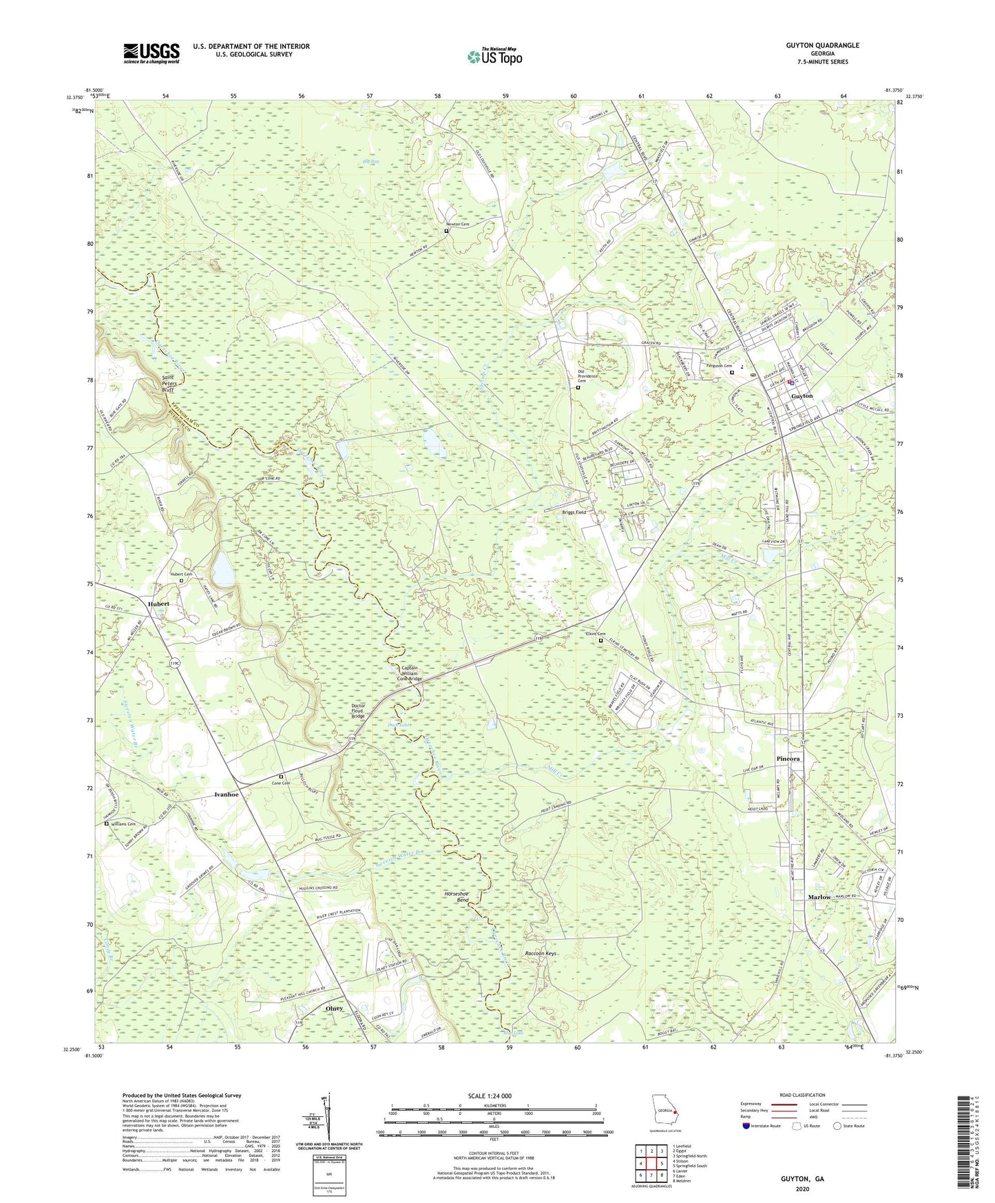
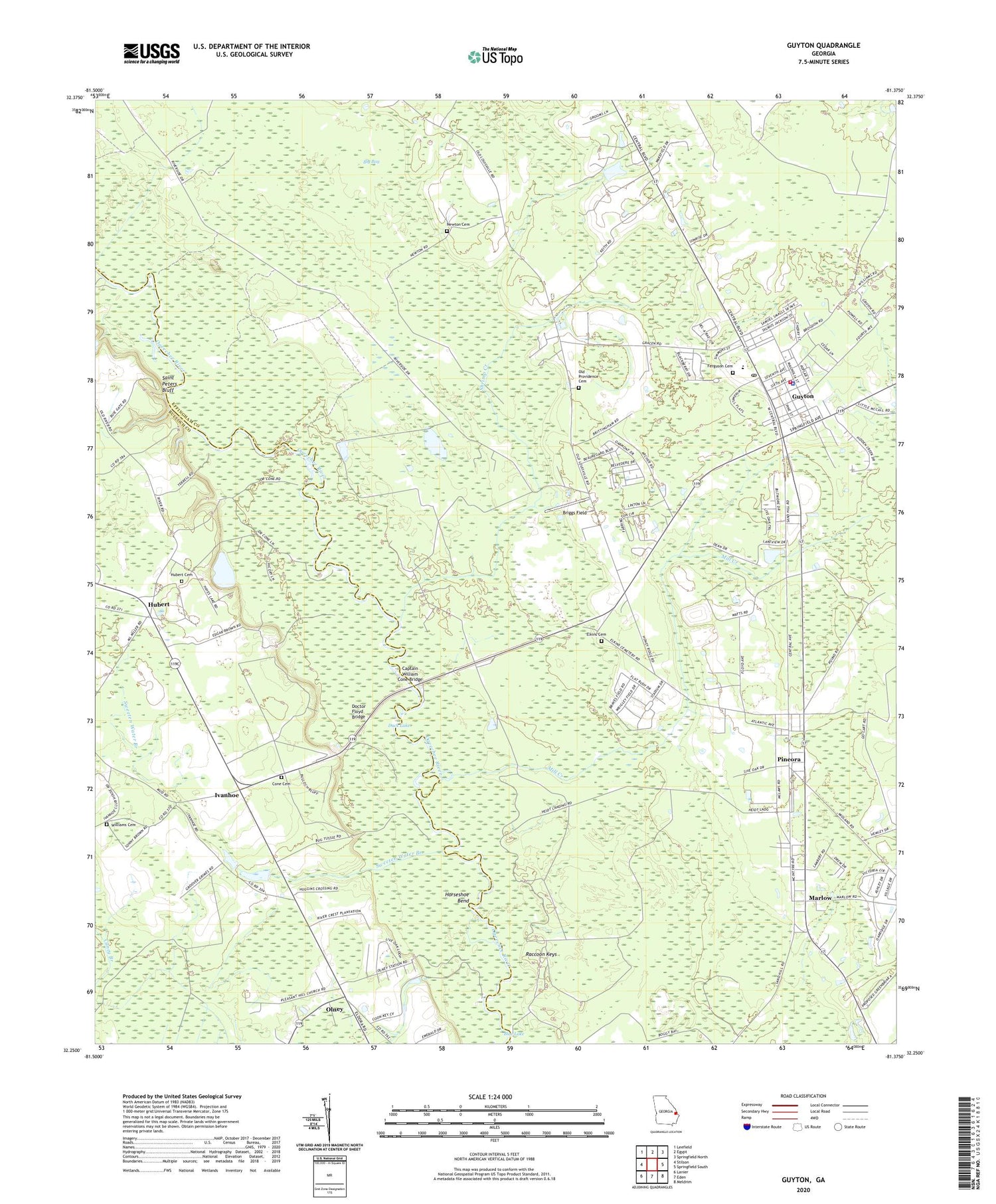
2024 topographic map quadrangle Guyton in the state of Georgia. Scale: 1:24000. Based on the newly updated USGS 7.5' US Topo map series, this map is in the following counties: Effingham, Bulloch. The map contains contour data, water features, and other items you are used to seeing on USGS maps, but also has updated roads and other features. This is the next generation of topographic maps. Printed on high-quality waterproof paper with UV fade-resistant inks.
Quads adjacent to this one:
West: Stilson
Northwest: Leefield
North: Egypt
Northeast: Springfield North
East: Springfield South
Southeast: Meldrim
South: Eden
Southwest: Lanier
This map covers the same area as the classic USGS quad with code o32081c4.
Contains the following named places: Alderman Landing, Big Bay, Blue Lake, Briggs Field, Captain William Cone Bridge, City of Guyton, Cone Cemetery, Doctor Floyd Bridge, Duck Lake, Elkins Cemetery, Ferguson Cemetery, Guyton, Guyton Christian Church, Guyton Elementary School, Guyton Historic District, Guyton Police Department, Guyton Post Office, Guyton Town Hall, Guyton United Methodist Church, Guyton Volunteer Fire Department, Horseshoe Bend, Hubert, Hubert Cemetery, Hubert Methodist Church, Hutchison-Longstreet Church, Hyatts Landing, Ivanhoe, Joe Cone Landing, Macedonia Church, Marlow, Marlow Church, Mill Creek, Missionary Alliance Church, Mount Moriah Church, New Hope Church, New Providence Baptist Church, Newton Cemetery, Old Providence Cemetery, Olney, Pine Street Baptist Church, Pineora, Pineora Baptist Church, Pleasant Hill Church, Raccoon Keys, Riverside School, Saint Peters Bluff, Shrimp Creek, Sweeten Water Branch, Taylor Landing, United House of Prayer, Williams Cemetery, ZIP Code: 31312


