MyTopo
Homerville East Georgia US Topo Map
Couldn't load pickup availability
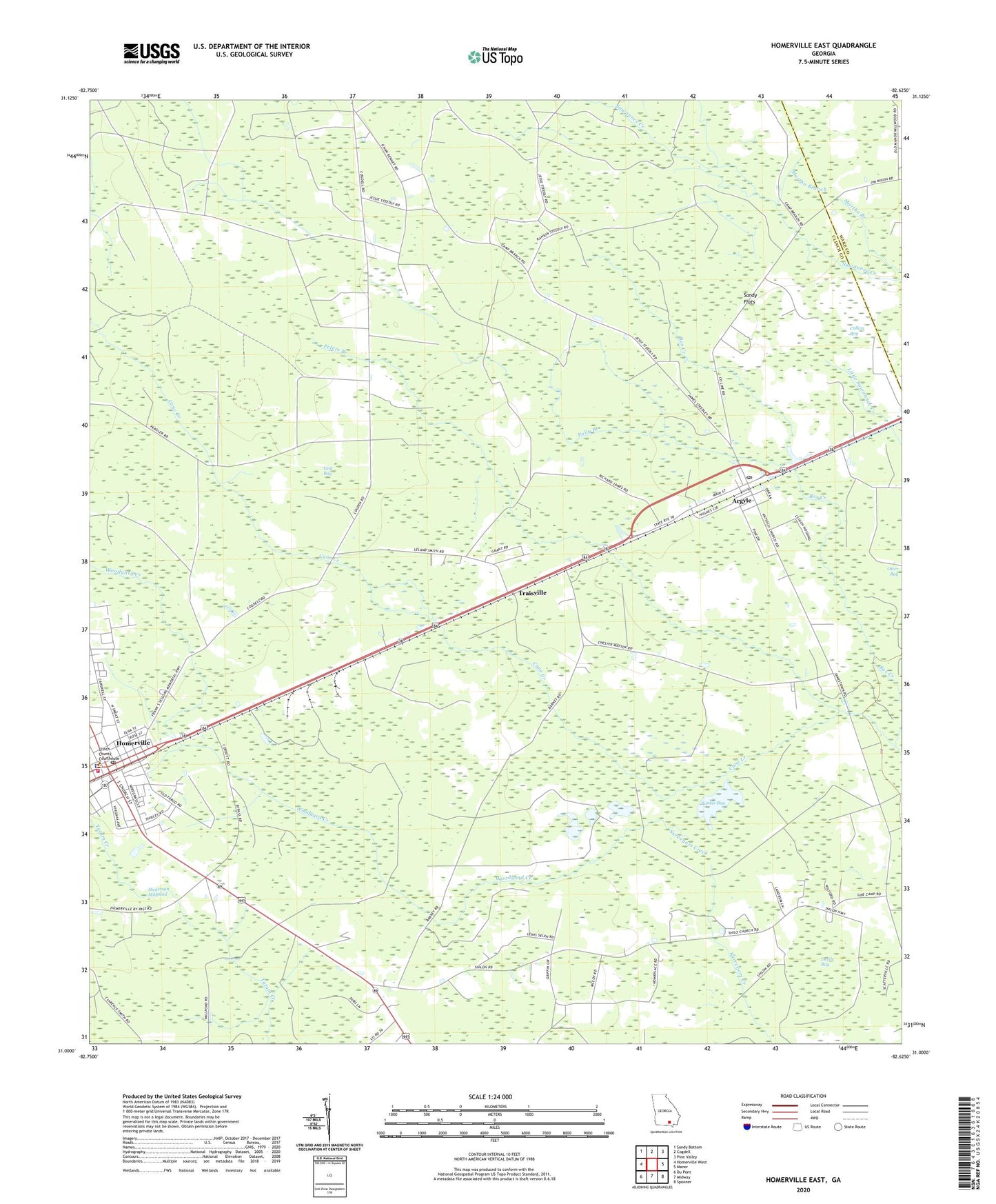
2024 topographic map quadrangle Homerville East in the state of Georgia. Scale: 1:24000. Based on the newly updated USGS 7.5' US Topo map series, this map is in the following counties: Clinch, Ware. The map contains contour data, water features, and other items you are used to seeing on USGS maps, but also has updated roads and other features. This is the next generation of topographic maps. Printed on high-quality waterproof paper with UV fade-resistant inks.
Quads adjacent to this one:
West: Homerville West
Northwest: Sandy Bottom
North: Cogdell
Northeast: Pine Valley
East: Manor
Southeast: Spooner
South: Midway
Southwest: Du Pont
This map covers the same area as the classic USGS quad with code o31082a6.
Contains the following named places: Argyle, Argyle Post Office, Box Creek, Bunkle Bay, Church of Christ, City of Homerville, Clinch County Courthouse, Clinch County Sheriff's Office, Collins Bay, Devils Bay, Dickerson Millpond, Homerville, Homerville City Hall, Homerville Fire Department, Homerville Post Office, Isiac Bay, New Pine Grove Church, New Vision Church of God, Paletree, Peters Branch, Polly Branch, Sandy Flats, Shiloh Church, Town of Argyle, Traisville, Woodyard Creek, ZIP Code: 31623