MyTopo
Manor Georgia US Topo Map
Couldn't load pickup availability
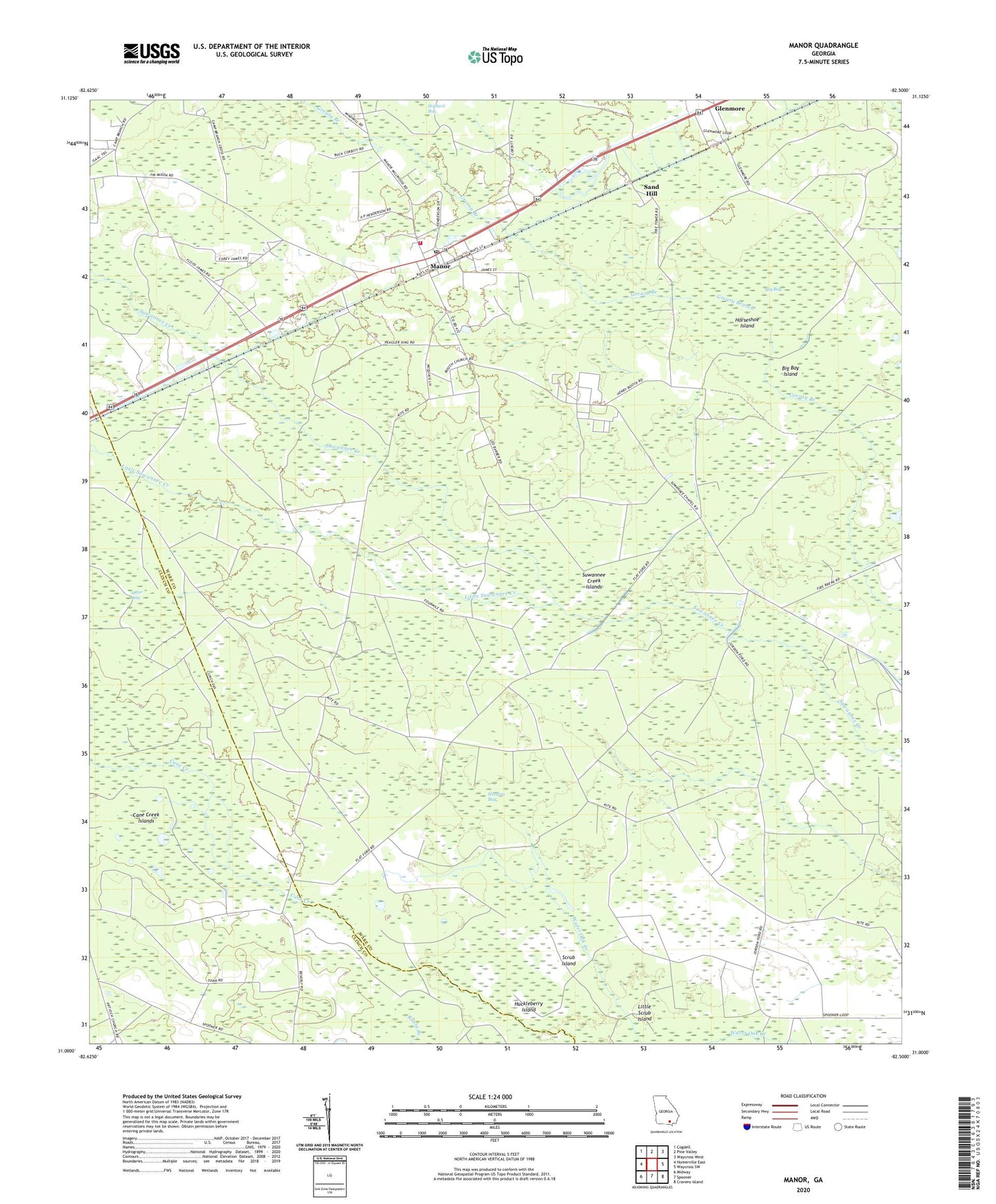
2024 topographic map quadrangle Manor in the state of Georgia. Scale: 1:24000. Based on the newly updated USGS 7.5' US Topo map series, this map is in the following counties: Ware, Clinch. The map contains contour data, water features, and other items you are used to seeing on USGS maps, but also has updated roads and other features. This is the next generation of topographic maps. Printed on high-quality waterproof paper with UV fade-resistant inks.
Quads adjacent to this one:
West: Homerville East
Northwest: Cogdell
North: Pine Valley
Northeast: Waycross West
East: Waycross SW
Southeast: Cravens Island
South: Spooner
Southwest: Midway
This map covers the same area as the classic USGS quad with code o31082a5.
Contains the following named places: Big Bay, Big Bay Island, Booth Church, Camp Branch Providence Cemetery, Cane Creek Islands, Glenmore, Hendrix Bay, Horseshoe Island, Huckleberry Island, Little Scrub Island, Little Suwannee Creek, Manor, Manor Census Designated Place, Manor Chapel, Manor Church, Manor School, Manor Village Post Office, Martha Branch, Mount Olive Church, Otter Bay, Pine Grove Church, Providence Church, Sand Hill, Scrub Island, Suwannee Creek Islands, Victory Methodist Church, Ware County Fire Rescue Station 2 Manor