MyTopo
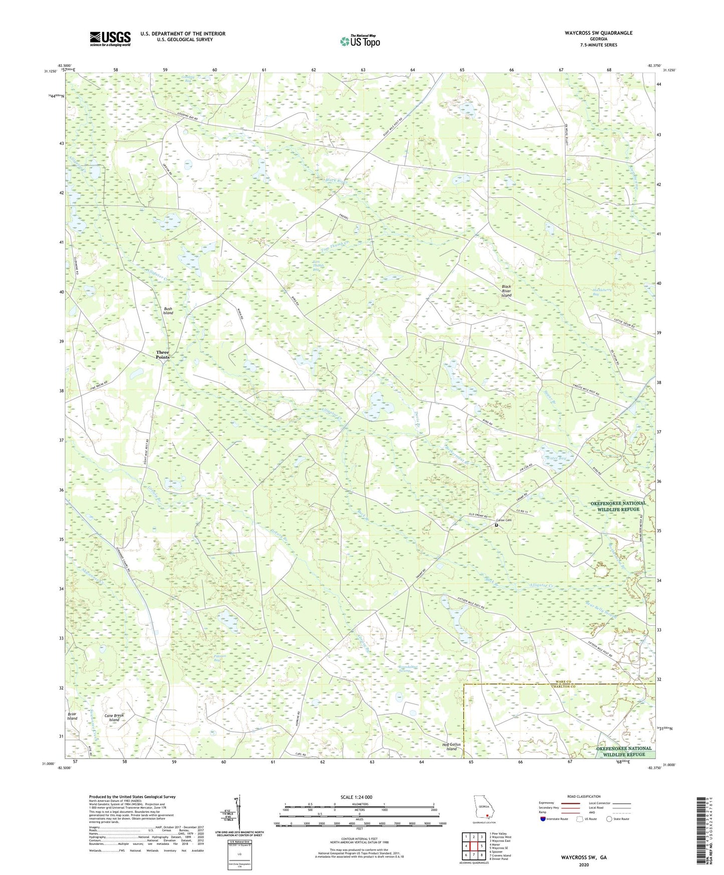
Waycross SW Georgia US Topo Map
Couldn't load pickup availability
2024 topographic map quadrangle Waycross SW in the state of Georgia. Scale: 1:24000. Based on the newly updated USGS 7.5' US Topo map series, this map is in the following counties: Ware, Charlton. The map contains contour data, water features, and other items you are used to seeing on USGS maps, but also has updated roads and other features. This is the next generation of topographic maps. Printed on high-quality waterproof paper with UV fade-resistant inks.
Quads adjacent to this one:
West: Manor
Northwest: Pine Valley
North: Waycross West
Northeast: Waycross East
East: Waycross SE
Southeast: Dinner Pond
South: Cravens Island
Southwest: Spooner
This map covers the same area as the classic USGS quad with code o31082a4.
Contains the following named places: Black River Island, Botherment Branch, Briar Island, Buck Branch, Bush Island, Cane Break Island, Carter Cemetery, Davis Branch, District Pond, Fifteenmile Post, Gooding Bay, Hog Gallus Island, Huckleberry Bay, Pittman Bay, Pittman Chapel, Roundabout Swamp, Stewart Branch, Sugar Branch, Three Points, Tom Thumb Bay, Tom Thumb Creek, Twelvemile Post, Ware County, Water Bay


