
MyTopo
Mulberry Grove Georgia US Topo Map
Couldn't load pickup availability
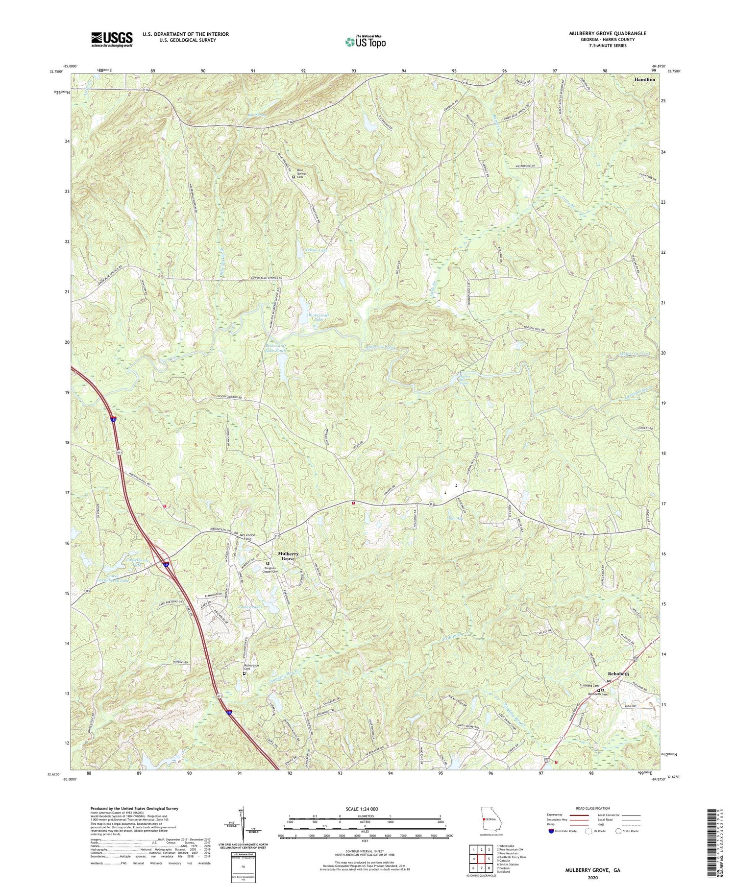
2024 topographic map quadrangle Mulberry Grove in the state of Georgia. Scale: 1:24000. Based on the newly updated USGS 7.5' US Topo map series, this map is in the following counties: Harris. The map contains contour data, water features, and other items you are used to seeing on USGS maps, but also has updated roads and other features. This is the next generation of topographic maps. Printed on high-quality waterproof paper with UV fade-resistant inks.
Quads adjacent to this one:
West: Bartletts Ferry Dam
Northwest: Whitesville
North: Pine Mountain SW
Northeast: Pine Mountain
East: Cataula
Southeast: Midland
South: Fortson
Southwest: Smiths Station
This map covers the same area as the classic USGS quad with code o32084f8.
Contains the following named places: Barnes Creek, Bayard, Bickerstaff Lake, Bickerstaff Lake Dam, Bickerstaff Lake South, Bickerstaff Lake South Dam, Bingham Chapel Cemetery, Binghams Chapel, Blue Spring, Blue Spring Branch, Blue Springs Cemetery, Casselberry Lake, Casselberry Lake Dam, Cataula Camp Ground, Cataula Post Office, Cataula Volunteer Fire Department Station 1, Cataula Volunteer Fire Department Station 2, Crawford Cemetery, Hadley Mill, Hamilton Division, Harris County, Herds Lake, Herds Lake Dam, Hudson Mill, Hudson Mill Rapids, James Lakes, Lake Asa, Linwood Playground, Little Branch, Lower Casselberry Lake, Lower Casselberry Lake Dam, Macedonia Church, McLendon Field, Mobleys Lake, Mount Moriah Church, Mount Olive Church, Mulberry Grove, Nelson Dam, Nelson Lake, Ossahatchie Creek, Rehobeth, Rehobeth Cemetery, Rehobeth Church, Richardson Cemetery, Striblin Creek, WYFK-FM (Columbus), ZIP Codes: 31804, 31811


