MyTopo
Pine Mountain SW Georgia US Topo Map
Couldn't load pickup availability
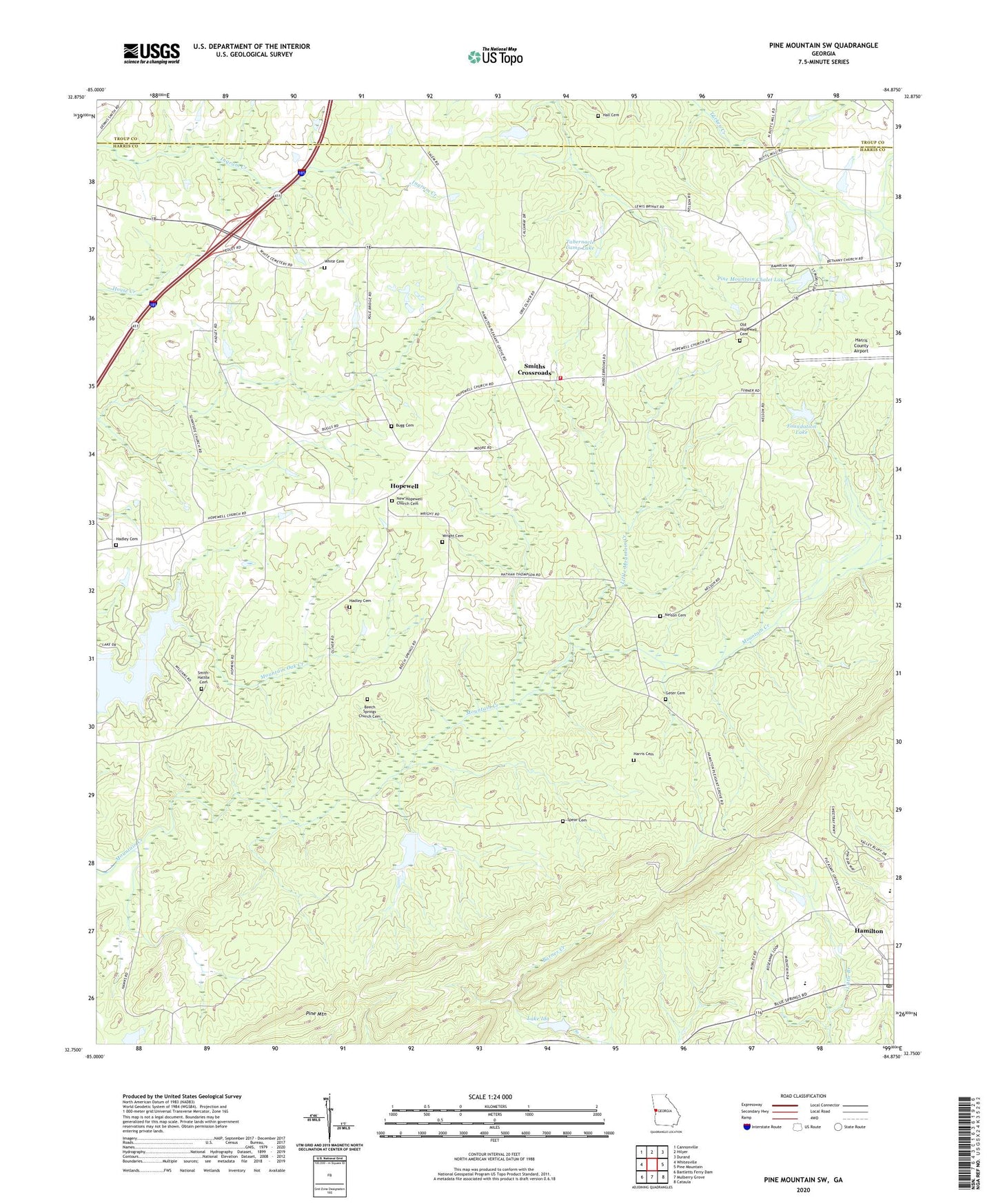
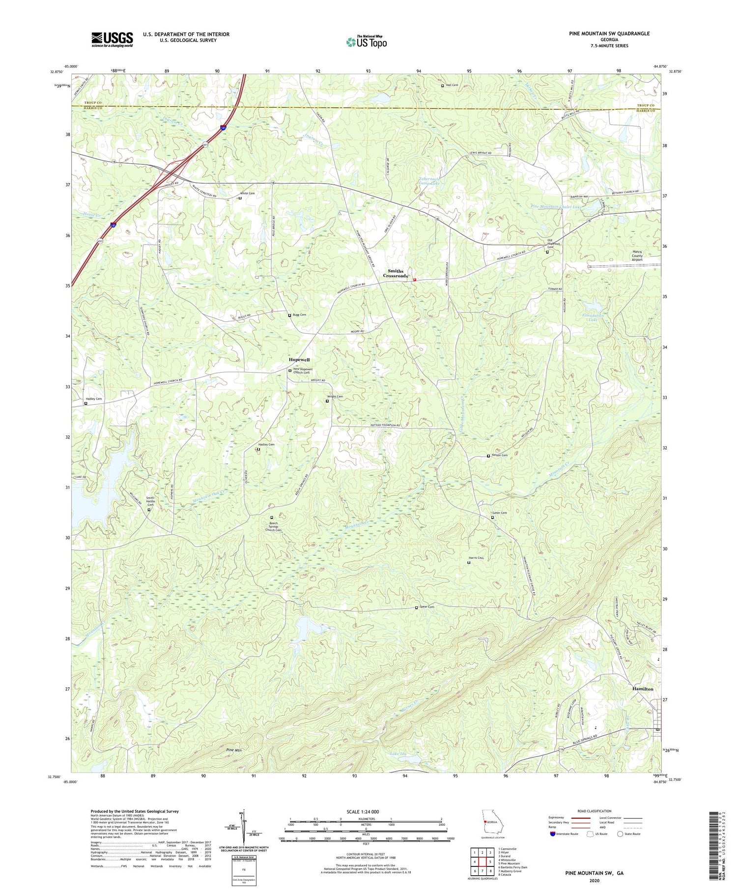
2024 topographic map quadrangle Pine Mountain SW in the state of Georgia. Scale: 1:24000. Based on the newly updated USGS 7.5' US Topo map series, this map is in the following counties: Harris, Troup. The map contains contour data, water features, and other items you are used to seeing on USGS maps, but also has updated roads and other features. This is the next generation of topographic maps. Printed on high-quality waterproof paper with UV fade-resistant inks.
Quads adjacent to this one:
West: Whitesville
Northwest: Cannonville
North: Hilyer
Northeast: Durand
East: Pine Mountain
Southeast: Cataula
South: Mulberry Grove
Southwest: Bartletts Ferry Dam
This map covers the same area as the classic USGS quad with code o32084g8.
Contains the following named places: Beech Springs, Beech Springs Church, Beech Springs Church Cemetery, Bugg Cemetery, City of Hamilton, Copeland, Foundation Lake, Foundation Lake Dam, Geter Cemetery, Hadley Cemetery, Hall Cemetery, Hamilton Post Office, Harris Cemetery, Harris County Airport, Harris County Lookout Tower, Harris County Middle School, Hopewell, Hopewell Church, Hopewell Volunteer Fire Department, Lake Florence, Lake Florence Dam, Lake Ida, Lake Ida Dam, Little Mountain Creek, Mack Miller Park, Midway Church, Nelson Cemetery, New Hopewell Church Cemetery, Old Hopewell Cemetery, Old Hopewell Methodist Church, Old Hopewell School, Pine Mountain Chalet Lake, Pine Mountain Chalet Lake Dam, Smith - Hattox Cemetery, Smith Chapel Cemetery, Smiths Chapel, Smiths Crossroads, Solomon Grove Church, Spear Cemetery, Sunnyside Community Club, Tabernacle Camp Lake, Tabernacle Camp Lake Dam, White Cemetery, Wisdoms Store, Wright Cemetery, ZIP Code: 31822