MyTopo
Orchard Hill Georgia US Topo Map
Couldn't load pickup availability
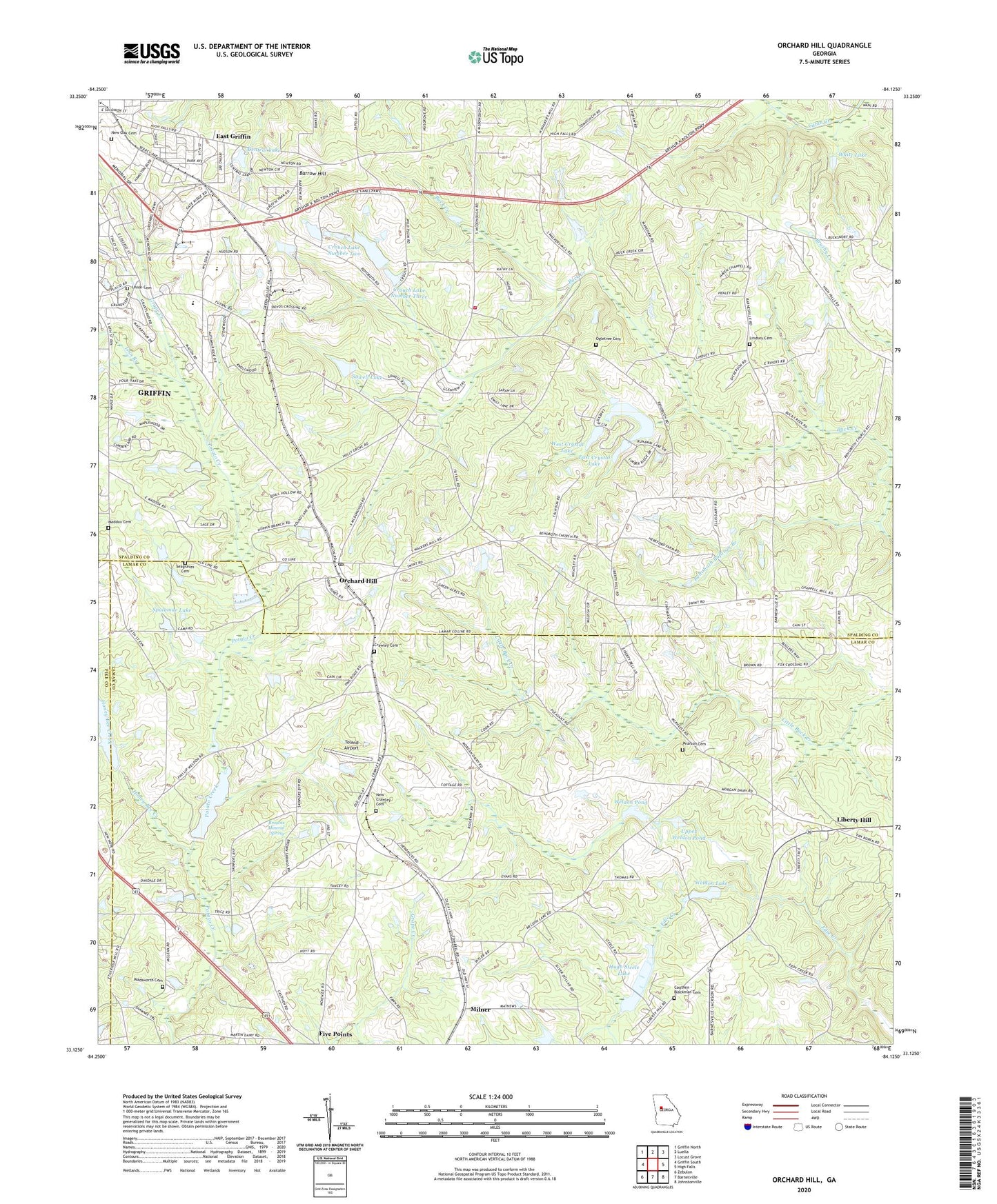
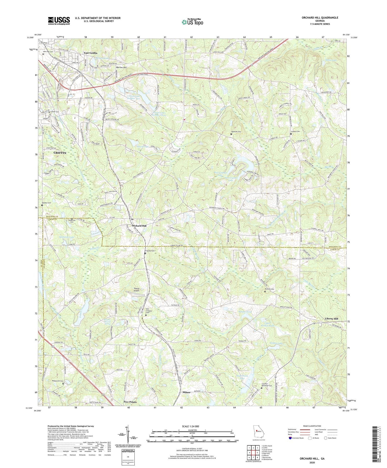
2024 topographic map quadrangle Orchard Hill in the state of Georgia. Scale: 1:24000. Based on the newly updated USGS 7.5' US Topo map series, this map is in the following counties: Spalding, Lamar, Pike. The map contains contour data, water features, and other items you are used to seeing on USGS maps, but also has updated roads and other features. This is the next generation of topographic maps. Printed on high-quality waterproof paper with UV fade-resistant inks.
Quads adjacent to this one:
West: Griffin South
Northwest: Griffin North
North: Luella
Northeast: Locust Grove
East: High Falls
Southeast: Johnstonville
South: Barnesville
Southwest: Zebulon
This map covers the same area as the classic USGS quad with code o33084b2.
Contains the following named places: Atkins School, Barrow Church, Barrow Hill, Browns Mineral Spring, Calvary Church, Cauthen - Blackman Cemetery, Central Church, Central Lake, Central Lake Church, Central Lake Dam, Central School, Crawley Cemetery, Crouch Dam Number One, Crouch Lake Dam Number Three, Crouch Lake Dam Number Two, Crouch Lake Number Three, Crouch Lake Number Two, East Crystal Lake, East Crystal Lake Dam, East Griffin, East Griffin Census Designated Place, East Griffin Elementary School, Edie Creek Church, Edie Creek School, Five Points, Futral Road Elementary Charter School, Georgia State Patrol Troop D Post 1 Griffin, Grace Fellowship Christian School, Grape Creek, Griffin Academy, Haven Chapel, Haven Chapel School, Holly Grove Church, Honey Bee Creek, Hugh Steele Lake, Ison Branch, Lamar County Fire Rescue - Station 7, Liberty Hill, Liberty Hill Airport, Liberty Primitive Baptist Church, Lindsey Cemetery, Maddox Cemetery, Midway Church, Milner Division, New Crawley Cemetery, New Oak Cemetery, North Crystal Lake, North Crystal Lake Dam, Oak Grove Church, Ogletree Cemetery, Orchard Hill, Orchard Hill Church, Orchard Hill Division, Orchard Hill Post Office, Oxford Village Shopping Center, Pearson Cemetery, Plainview Church, Pleasant Grove Church, Pleasant Grove School, Potato Creek Structure Number 115 Dam, Potato Creek Structure Number 115 Lak, Potato Creek Structure Number 78 Dam, Potato Creek Structure Number 78 Lake, Rehoboth Baptism Branch, Rehoboth Church, Sacred Heart School, Seagraves Cemetery, Shiloh Church, Sowell Lake, Sowell Lake Dam, Spalamar Lake, Spalamar Lake Dam, Spalding County Fire Department Station 2, Spalding High School, Toland Airport, Town of Orchard Hill, Union Cemetery, Upper Weldon Pond, Upper Weldon Pond Dam, Victory Tabernacle Church of God, Victory Temple Assembly of God Church, Wadsworth Cemetery, Weldon Lake, Weldon Lake Dam, Weldon Pond, Weldon Pond Dam, West Crystal Lake, West Crystal Lake Dam, White Lake, WKEU-AM (Griffin), WKEU-FM (Griffin), WMVV-FM (Mcdonough), ZIP Codes: 30224, 30257


