MyTopo
Rayle Georgia US Topo Map
Couldn't load pickup availability
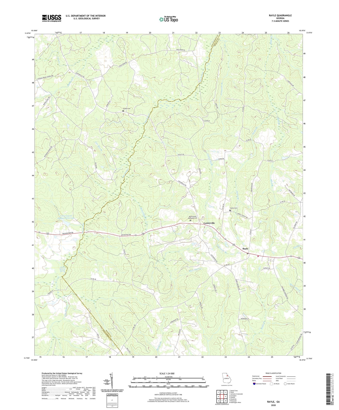
2024 topographic map quadrangle Rayle in the state of Georgia. Scale: 1:24000. Based on the newly updated USGS 7.5' US Topo map series, this map is in the following counties: Wilkes, Oglethorpe. The map contains contour data, water features, and other items you are used to seeing on USGS maps, but also has updated roads and other features. This is the next generation of topographic maps. Printed on high-quality waterproof paper with UV fade-resistant inks.
Quads adjacent to this one:
West: Lexington
Northwest: Sandy Cross
North: Vesta
Northeast: Jacksons Crossroads
East: Celeste
Southeast: Washington West
South: Philomath
Southwest: Woodville
This map covers the same area as the classic USGS quad with code o33082g8.
Contains the following named places: Anon, Beaverdam Creek, Bethesda Church, Buffalo Creek, Callaway, Centerville, Centerville Branch, Chafin Cemetery, Clarks Mineral Spring, Cow Mire Branch, Fairy Ridge Mine, Hood Branch, Morgan Mine, Pleasant Grove Church, Prospect School, Rayle, Rayle Division, Rayle Fire Department, Rayle Post Office, Rock Church, Rock United Methodist Cemetery, Sardis Branch, Sardis Cemetery, Sardis Church, Stevens Grove Church, Thaxton, Town of Rayle, University of Georgia Experimental Farm, University of Georgia Farm Lake, University of Georgia Farm Lake Dam, Wise, ZIP Code: 30660