MyTopo
Redbud Georgia US Topo Map
Couldn't load pickup availability
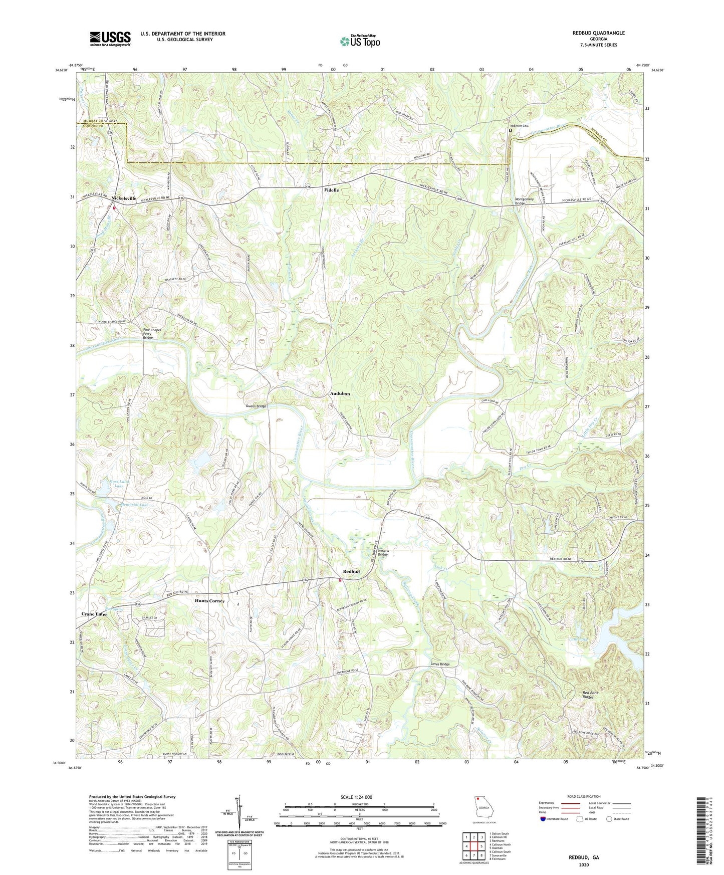
2024 topographic map quadrangle Redbud in the state of Georgia. Scale: 1:24000. Based on the newly updated USGS 7.5' US Topo map series, this map is in the following counties: Gordon, Murray. The map contains contour data, water features, and other items you are used to seeing on USGS maps, but also has updated roads and other features. This is the next generation of topographic maps. Printed on high-quality waterproof paper with UV fade-resistant inks.
Quads adjacent to this one:
West: Calhoun North
Northwest: Dalton South
North: Calhoun NE
Northeast: Ramhurst
East: Oakman
Southeast: Fairmount
South: Sonoraville
Southwest: Calhoun South
This map covers the same area as the classic USGS quad with code o34084e7.
Contains the following named places: Audubon, Bethesda Church, Buff, Canaanland Church, Coosawattee, Crane Eater, Crane Eater Church, Decora, Defoor Walters Lake, Dry Creek, East Point School, Evergreen Church, Fidelle, Fields Ferry, Gordon County Fire and Rescue Department Station 11, Gordon County Fire and Rescue Department Station 6, Holiness Church, Hunts Corner, Jackson Branch, Lane Lake, Lane Lake Dam, Lewis Corner, Lick Creek, Little Dry Creek, Loves Bridge, Maple Grove Church, McEntire Cemetery, Memorial Lake, Memorial Lake Dam, Midway, Montgomery Bridge, Moss Land Lake, Moss Land Lake Dam, Moss Memorial Church, Mount Carmel Church, Mount Pleasant Church, Nesbit Ferry, Nesbits Bridge, Nickelsville, Noblet Creek, Owens Bridge, Pine Chapel, Pine Chapel Ferry Bridge, Pine Chapel School, Pine Grove Church, Pine Grove School, Pine Log Creek, Pleasant Hill Church, Pleasant Valley Church, Pulliams Ferry, Red Bone Ridges, Red Bud Elementary School, Redbud, Redbud Creek, Redbud Division, Roes Spring, Salacoa Creek, Sallacoa Creek Watershed Dam Number 98, Shackleford Ferry, Star Institute, Thompson Ferry, Vanns Creek


