MyTopo
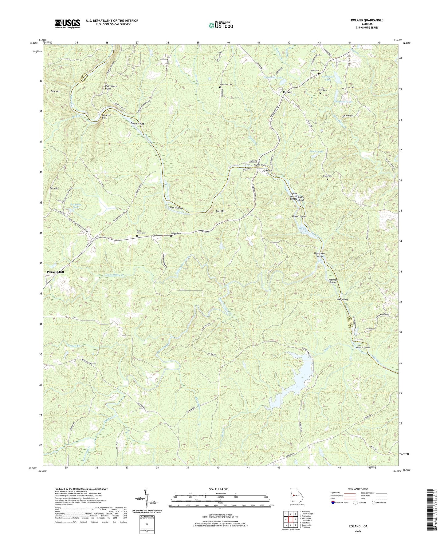
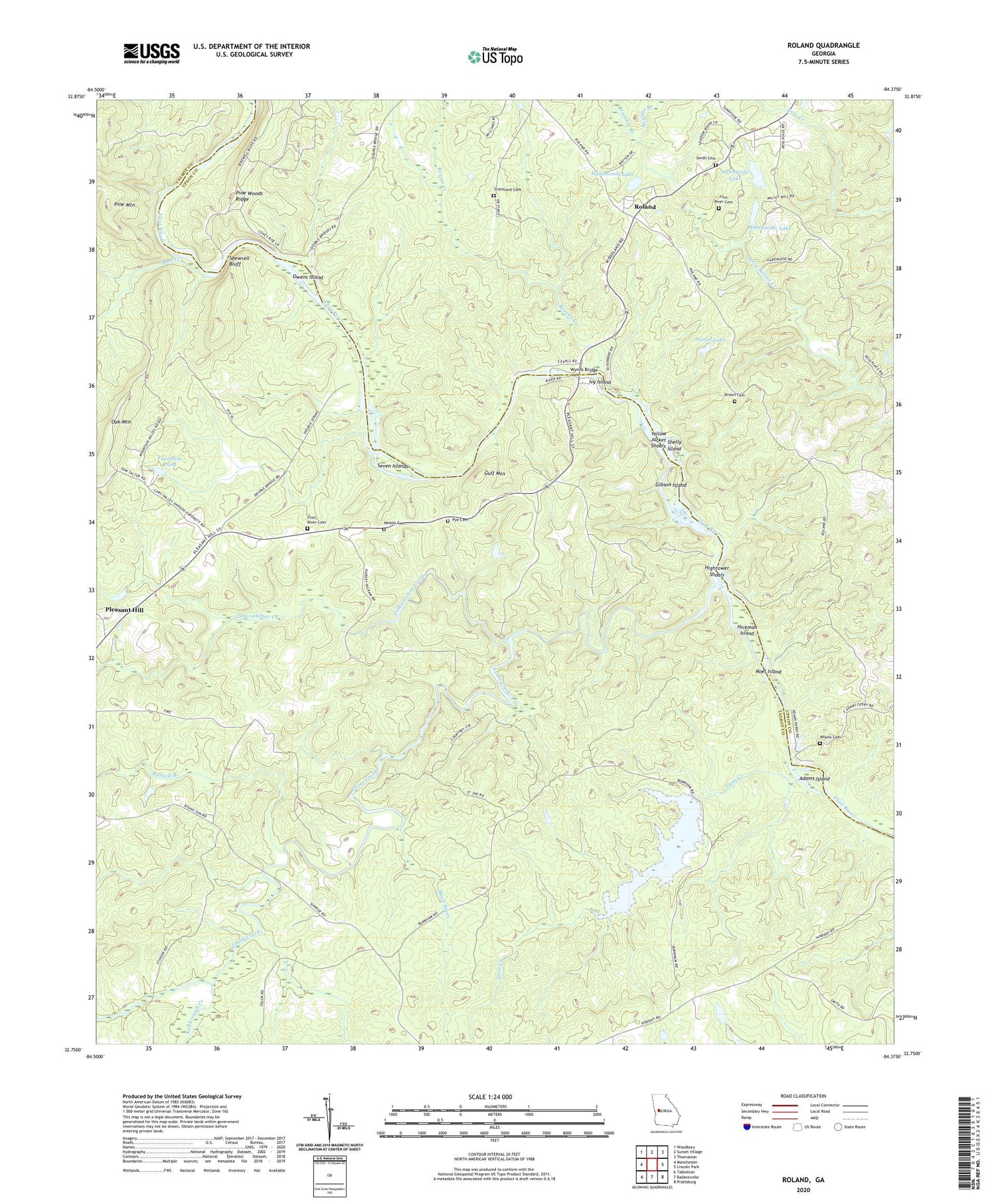
Roland Georgia US Topo Map
Couldn't load pickup availability
2024 topographic map quadrangle Roland in the state of Georgia. Scale: 1:24000. Based on the newly updated USGS 7.5' US Topo map series, this map is in the following counties: Talbot, Upson. The map contains contour data, water features, and other items you are used to seeing on USGS maps, but also has updated roads and other features. This is the next generation of topographic maps. Printed on high-quality waterproof paper with UV fade-resistant inks.
Quads adjacent to this one:
West: Manchester
Northwest: Woodbury
North: Sunset Village
Northeast: Thomaston
East: Lincoln Park
Southeast: Prattsburg
South: Baldwinville
Southwest: Talbotton
This map covers the same area as the classic USGS quad with code o32084g4.
Contains the following named places: Adams Cemetery, Adams Island, Black River, Brown Cemetery, China Grove Church, Coleoatchee Creek, Collingsworth Church, Collingsworth Institute, Daniel Lake, Daniel Lake Dam, Flint Hill School, Flint River Cemetery, Flint River Church, Flint River School, Franklins Pond, Franklins Pond Dam, Gibson Island, Grantland Cemetery, Gulf Mountain, Gum Creek, Hammonds Dam, Hammonds Lake, Hammonds Lake Dam, Hickman Island, Hightower Shoals, Ivy Island, Kimbrough Creek, Lazer Creek, McCoys Branch, Mount Airy School, Mud Creek, Nelson Cemetery, Noel Island, Owens Island, Pleasant Hill, Pye Cemetery, Reeves Creek, Roland, Russell Branch, Seven Islands, Shelly Island, Smith Cemetery, Spewrell Bluff, Sprewell Bluff Park, Sunnyside Lake, Sunnyside Lake Dam, Sunnyside School, Womble Creek, WTGA-FM (Thomaston), Wynns Bridge, Yellow Jacket Shoals


