MyTopo
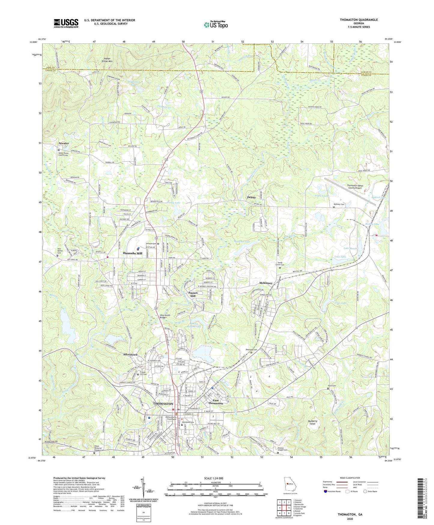
Thomaston Georgia US Topo Map
Couldn't load pickup availability
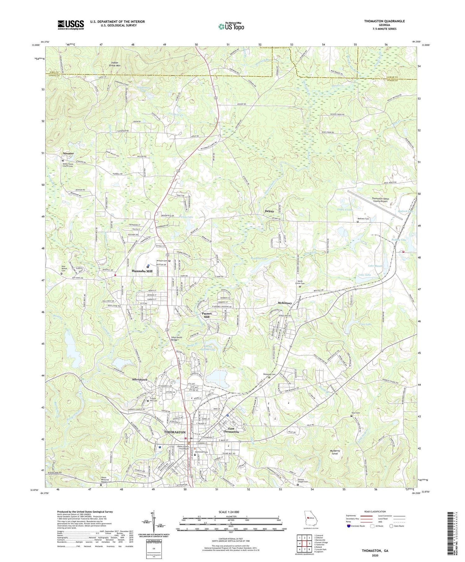
2024 topographic map quadrangle Thomaston in the state of Georgia. Scale: 1:24000. Based on the newly updated USGS 7.5' US Topo map series, this map is in the following counties: Upson, Pike, Lamar. The map contains contour data, water features, and other items you are used to seeing on USGS maps, but also has updated roads and other features. This is the next generation of topographic maps. Printed on high-quality waterproof paper with UV fade-resistant inks.
Quads adjacent to this one:
West: Sunset Village
Northwest: Concord
North: Zebulon
Northeast: Barnesville
East: Yatesville
Southeast: Logtown
South: Lincoln Park
Southwest: Roland
This map covers the same area as the classic USGS quad with code o32084h3.
Contains the following named places: Antioch Baptist Church, Antioch Cemetery, Atwater, Atwater School, Baptist Tabernacle, Baroucho Creek, Basin Creek, Ben Hill School, Bethany Cemetery, Bethany Church, Bethesda Cemetery, Bickley Dam, Bickley Lake, Binford Dam, Binford Lake, Blacksboro, Bunkley Woods Branch, Calvary Church, Cedar Grove Church, Cedar Grove School, Church of Christ, Church of God, City of Thomaston, Congregational Church, Crystal Hill Cemetery, Delray, Dog Crossing, Drake Branch, Dye Branch, East Thomaston, East Thomaston School, Effasy Primitive Baptist Church, Emaus Church, Emorys Chapel, Emorys Chapel Cemetery, Fairview School, Faith Church, First Baptist Church, First Free Will Church, First Presbyterian Church, First United Methodist Church, Fivemile Creek, Georgia Greenhouses, Georgia State Patrol Troop D Post 26 Thomaston, Glenwood Cemetery, Gordon School, Grace Primitive Baptist Church, Hannahs Mill, Hannahs Mill Census Designated Place, Hannas Mill, Hightower Dam, Hightower Lake, Hightower Lake Dam, Hightower Memorial Library, Indian Grave Mountain, Jeff Davis Church, Jeff Davis School, Joan Branch, Kingdom Hall, Lake Julia, Lake Julia Dam, Lake Maude, Lake Maude Dam, Leon Smith Bridge, Liberty School, Mathews Lake, Matthews Lake Dam, McKinney, Mount Zion Baptist Church, Mount Zion Church, Mulberry Level, New Bethel Cemetery, New Bethel Church, New Hope Church, New School, Norris Creek, Northcreek Shopping Center, Northside Volunteer Fire Department and Rescue, Pasley Dam, Pasley Lake, Paynes Mill, Pettigrew-White-Stamps Historical House, Pine Chapel, Pleasant Hill Church, Pritchett Memorial Church, Red River, Reginald Grant Memorial Airport, Robert E Lee Grade School, Robert E Lee Institute, Rock Hill School, Rock Hill Volunteer Fire Department Station 1, Rocky Mount Church, Rocky Mount School, Rose Creek, Saint Mary African Methodist Episcopal Church, Sandy Grove Cemetery, Sandy Grove Church, Searcy School, Shady Grove Church, Shattuck Branch, Shiloh Church, Silvertown, Silvia Hill Church, Smokey Hollow Lake Dam, Smoky Hollow Lake, Tenmile Creek, Thomaston, Thomaston Division, Thomaston Fire Department, Thomaston Police Department, Thomaston Post Office, Thomaston-Upson County Airport, Thomaston-Upson Industrial Park, Threemile Creek, Trice Cemetery, Trice Dam, Trice Lake, Trinity Baptist Church, Triple S Lake, Upson County, Upson County Courthouse, Upson County Jail, Upson County Sheriff's Office, Upson High School, Upson Memorial Garden Cemetery, Upson Regional Medical Center, Valley Grove Church, Valley Grove Church Cemetery, Weaver Park, Westside Park, Willingham Spring Creek, Wilson Chapel, Worthy Middle School, WTGA-AM (Thomaston), ZIP Codes: 30285, 30286


