MyTopo
Sardis Georgia US Topo Map
Couldn't load pickup availability
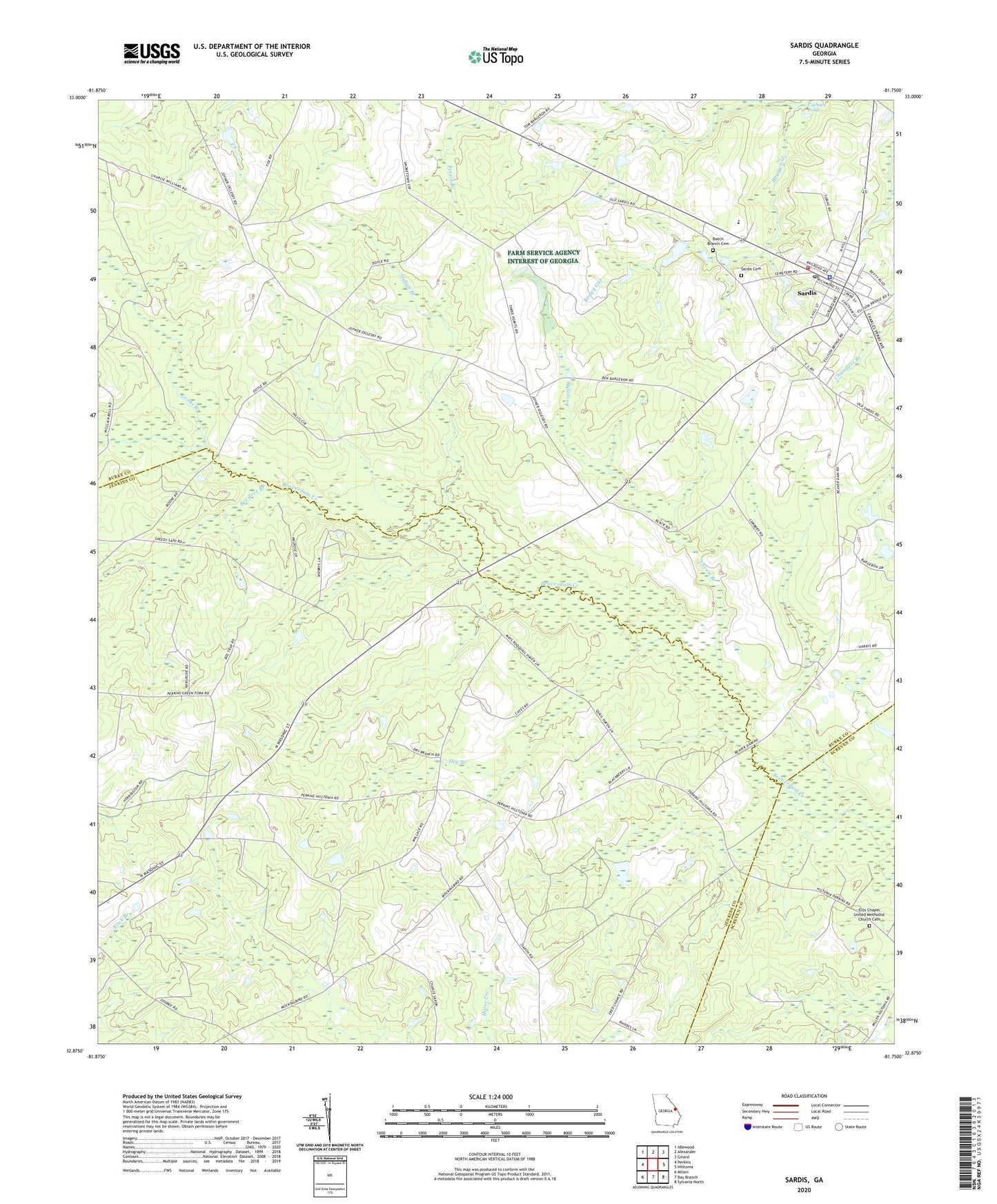
2024 topographic map quadrangle Sardis in the state of Georgia. Scale: 1:24000. Based on the newly updated USGS 7.5' US Topo map series, this map is in the following counties: Burke, Jenkins, Screven. The map contains contour data, water features, and other items you are used to seeing on USGS maps, but also has updated roads and other features. This is the next generation of topographic maps. Printed on high-quality waterproof paper with UV fade-resistant inks.
Quads adjacent to this one:
West: Perkins
Northwest: Idlewood
North: Alexander
Northeast: Girard
East: Hilltonia
Southeast: Sylvania North
South: Bay Branch
Southwest: Millen
This map covers the same area as the classic USGS quad with code o32081h7.
Contains the following named places: Bee Tree Branch, Beech Branch Baptist Church, Beech Branch Cemetery, Beech Branch School, Bill Davis, Burke County Emergency Management Agency Engine Company 12, City of Sardis, Cousins Elementary School, Dry Branch, Dry Branch Church, Dry Branch School, East Burke Church, Ellis Chapel United Methodist Church Cemetery, Looks Branch, Lovett Branch, New McCoy Church, Old McCoy Church, Old Sardis, Pleasant Grove School, Sardis, Sardis Branch Library, Sardis Cemetery, Sardis Division, Sardis Police Department, Sardis Post Office, Sardis Town Hall, Slough Branch, ZIP Codes: 30456, 30822