MyTopo
Vienna Georgia US Topo Map
Couldn't load pickup availability
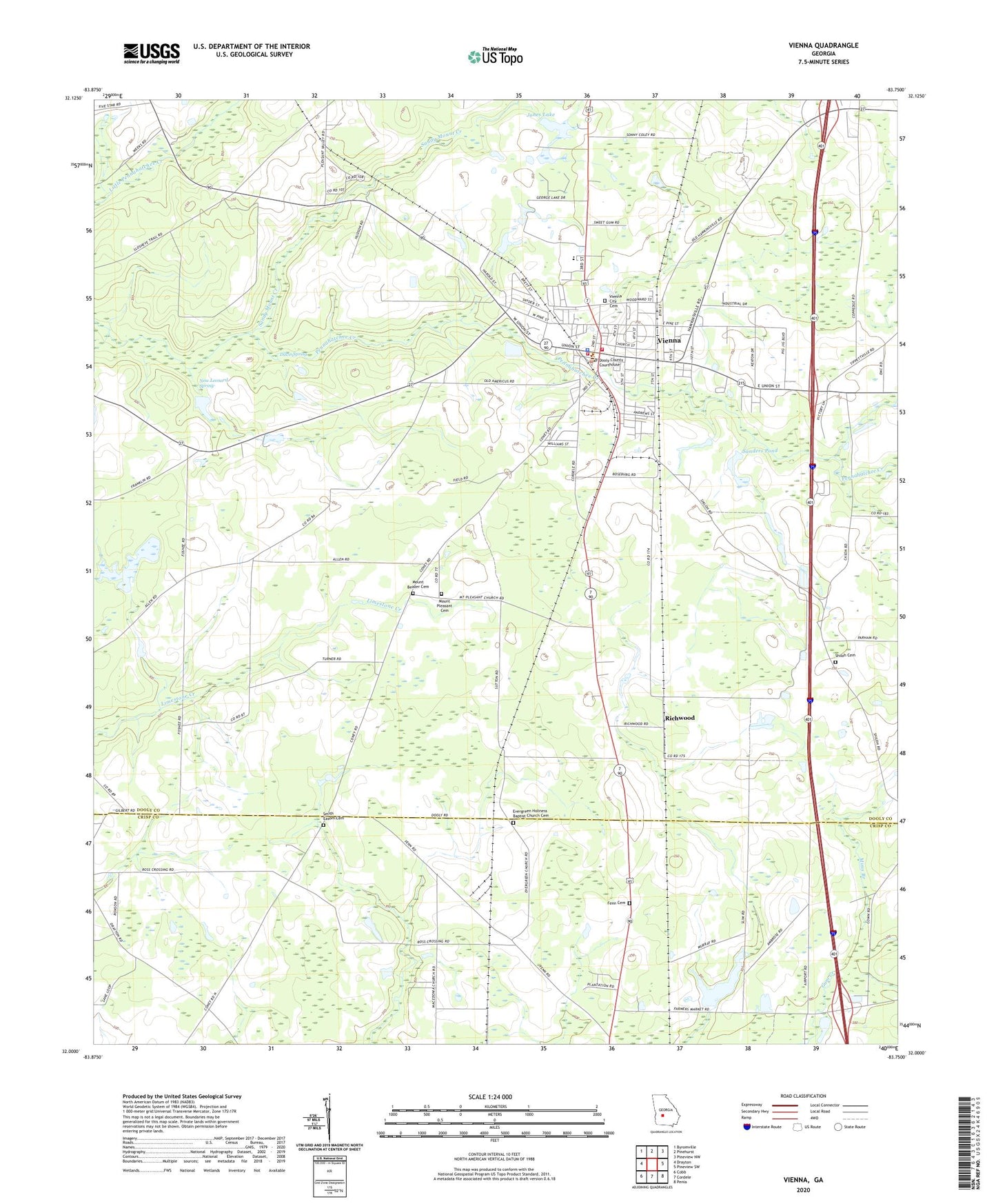
2024 topographic map quadrangle Vienna in the state of Georgia. Scale: 1:24000. Based on the newly updated USGS 7.5' US Topo map series, this map is in the following counties: Dooly, Crisp. The map contains contour data, water features, and other items you are used to seeing on USGS maps, but also has updated roads and other features. This is the next generation of topographic maps. Printed on high-quality waterproof paper with UV fade-resistant inks.
Quads adjacent to this one:
West: Drayton
Northwest: Byromville
North: Pinehurst
Northeast: Pineview NW
East: Pineview SW
Southeast: Penia
South: Cordele
Southwest: Cobb
This map covers the same area as the classic USGS quad with code o32083a7.
Contains the following named places: Adkins School, Anthony Bowens Park, Bartenfield Dam, Bartenfield Lake, Bethel Baptist Church, Bethel Church, City of Vienna, Davis Spring, Dooly Campground, Dooly County Courthouse, Dooly County Emergency Management Agency / Fire Services, Dooly County Farm, Dooly COunty High School, Dooly Medical Center, Ebenezer Baptist Church, Evergreen Church, Evergreen Holiness Baptist Church Cemetery, Faith Baptist Church, Faith Christian School, Fenn Cemetery, First Baptist Church, Ford Dam, Ford Lake, George Busbee Park, Holiness Church, J B Riner Dam, Jones Dam, Jones Lake, Marvin Church, Mims Branch, Mount Beazer Cemetery, Mount Olivia Church, Mount Pleasant Baptist Church, Mount Pleasant Cemetery, Mount Zion Methodist Church, New Leonard Spring, Richwood, Richwood Church, Saint Marks Baptist Church, Saint Pauls Chapel, Saint Pauls Church, Sanctified Holiness Church, Sanders Pond, Sanders Pond Dam, Sandy Mount Creek, Shiloh Cemetery, Shiloh Church, Smith Easom Cemetery, Vienna, Vienna City Cemetery, Vienna City Hall, Vienna Division, Vienna Elementary School, Vienna Methodist Church, Vienna Police Department, Vienna Post Office, Vienna Volunteer Fire Department, Walter F George Park, ZIP Code: 31092


