MyTopo
Warwick Georgia US Topo Map
Couldn't load pickup availability
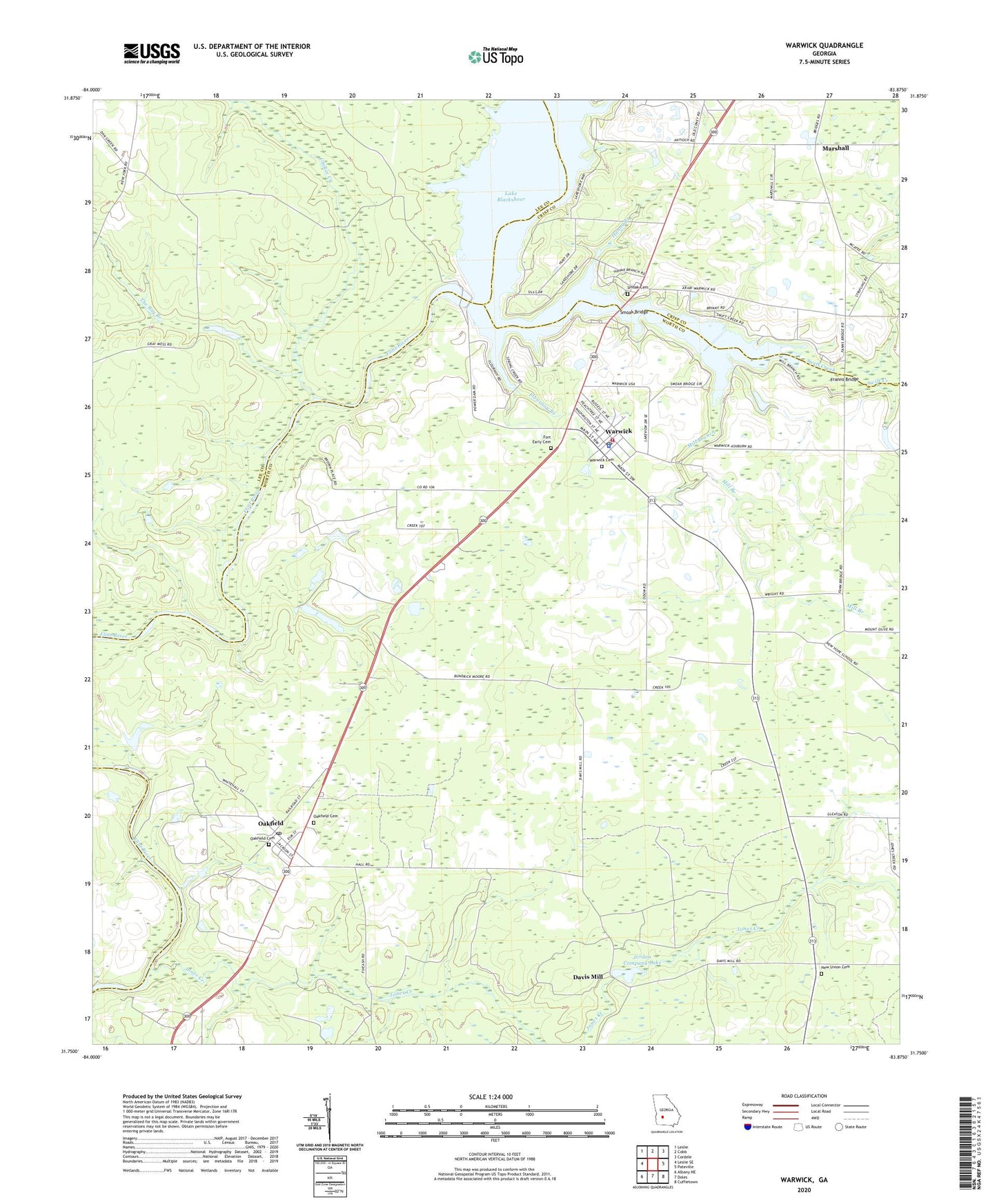
2024 topographic map quadrangle Warwick in the state of Georgia. Scale: 1:24000. Based on the newly updated USGS 7.5' US Topo map series, this map is in the following counties: Worth, Lee, Crisp. The map contains contour data, water features, and other items you are used to seeing on USGS maps, but also has updated roads and other features. This is the next generation of topographic maps. Printed on high-quality waterproof paper with UV fade-resistant inks.
Quads adjacent to this one:
West: Leslie SE
Northwest: Leslie
North: Cobb
Northeast: Cordele
East: Pateville
Southeast: Cuffietown
South: Doles
Southwest: Albany NE
This map covers the same area as the classic USGS quad with code o31083g8.
Contains the following named places: Asbury Church, Aultman Still, Bethlehem Church, Blue Springs Church, Bridges Community Center, Burke Ferry, Cedar Creek Primitive Baptist Church, Cedar Creek School, Chokee Creek, City of Warwick, Crisp County Dam, Crisp County Hydro-Electric Plant, Davis Mill, Flournoy Branch, Fords Still, Fort Early, Fort Early Cemetery, Fort Early Church, Fort Early Monument, Franns Bridge, Hanna Branch, Jones Creek, Jordan Company Lake, Jordan Company Lake Dam, Loron William Park, Marshall, Mill Branch, Mount Asia Church, New Hope Church, New Union Cemetery, New Union Church, New York, Oakfield, Oakfield Cemetery, Oakfield Post Office, Pindertown, Saint Regis Landing Strip, Smoak Bridge, Smoak Cemetery, Starr Farm, Storey Still, Swift Creek, The Bay Branch, Warwick, Warwick Cemetery, Warwick High School, Warwick Police Department, Warwick Post Office, Warwick United Methodist Church, Warwick Volunteer Fire Department Station 14, Worth County Emergency Medical Services