MyTopo
Big Creek Idaho US Topo Map
Couldn't load pickup availability
Also explore the Big Creek Forest Service Topo of this same quad for updated USFS data
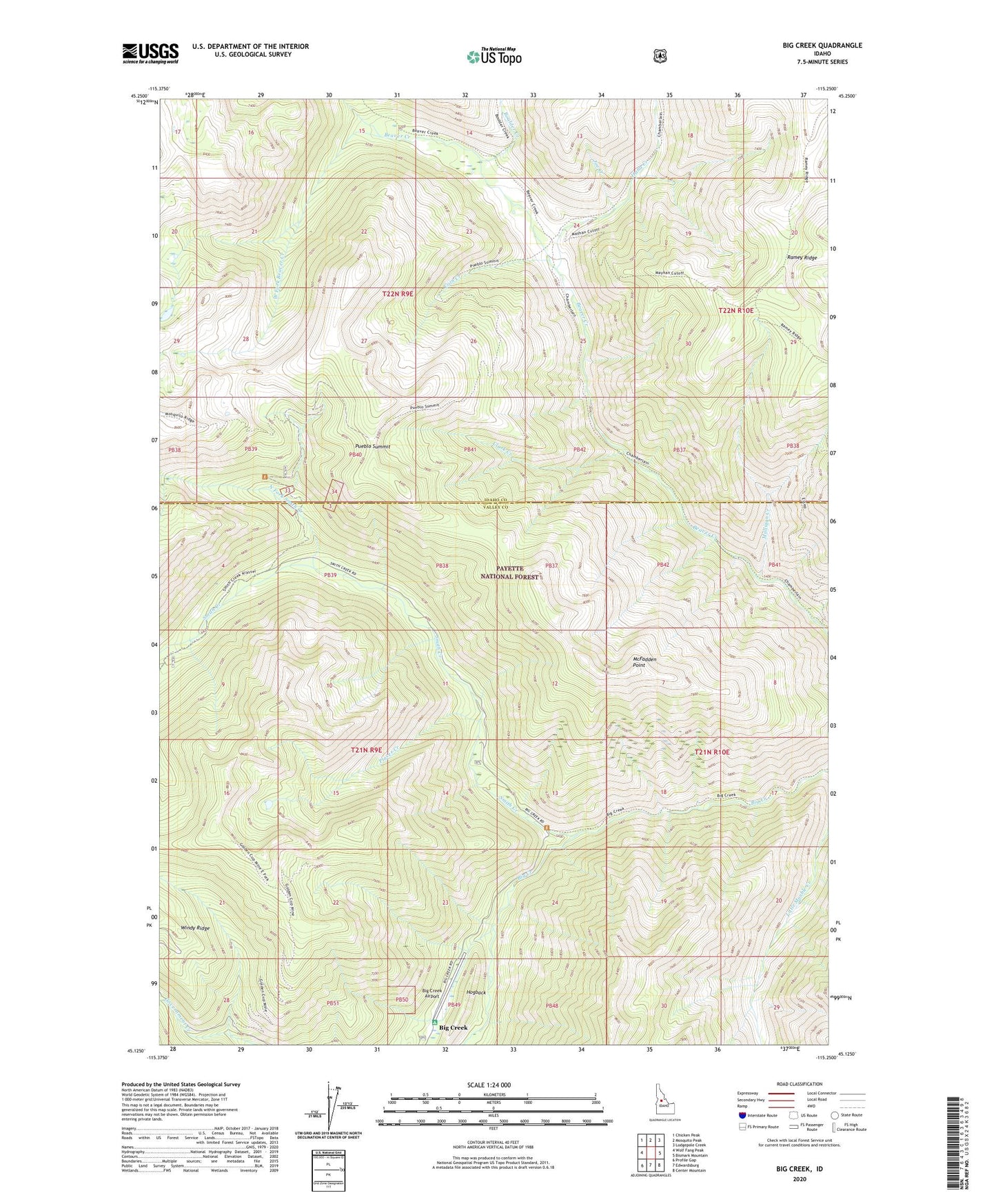
2024 topographic map quadrangle Big Creek in the state of Idaho. Scale: 1:24000. Based on the newly updated USGS 7.5' US Topo map series, this map is in the following counties: Idaho, Valley. The map contains contour data, water features, and other items you are used to seeing on USGS maps, but also has updated roads and other features. This is the next generation of topographic maps. Printed on high-quality waterproof paper with UV fade-resistant inks.
Quads adjacent to this one:
West: Wolf Fang Peak
Northwest: Chicken Peak
North: Mosquito Peak
Northeast: Lodgepole Creek
East: Bismark Mountain
Southeast: Center Mountain
South: Edwardsburg
Southwest: Profile Gap
This map covers the same area as the classic USGS quad with code o45115b3.
Contains the following named places: Big Creek, Big Creek Airport, Big Creek Heliport, Big Creek Work Center, Boulder Creek, Clark Creek, Coin Creek, Estep Cabin, Golden Cup Mine, Golden Hand Mine, Hand Camp, Hand Creek, Hogback, Joe Creek, McFadden Point, Mosquito Ridge Trailhead, Mulligan Creek, North Fork Smith Creek, Placer Creek, Pueblo Summit, Pueblo Summit Trailhead, Smith Creek, Smith Creek-Big Creek Trailhead, Werdenhoff Mine, West Fork Beaver Creek