MyTopo
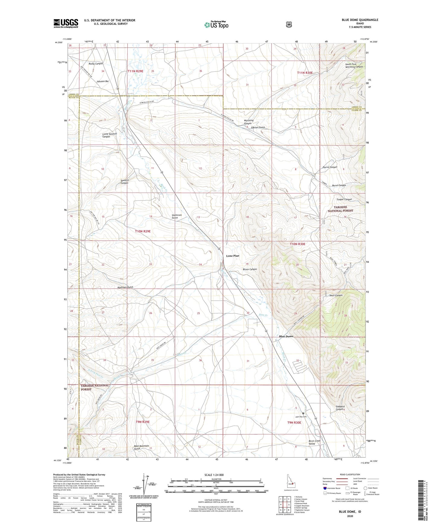
Blue Dome Idaho US Topo Map
Couldn't load pickup availability
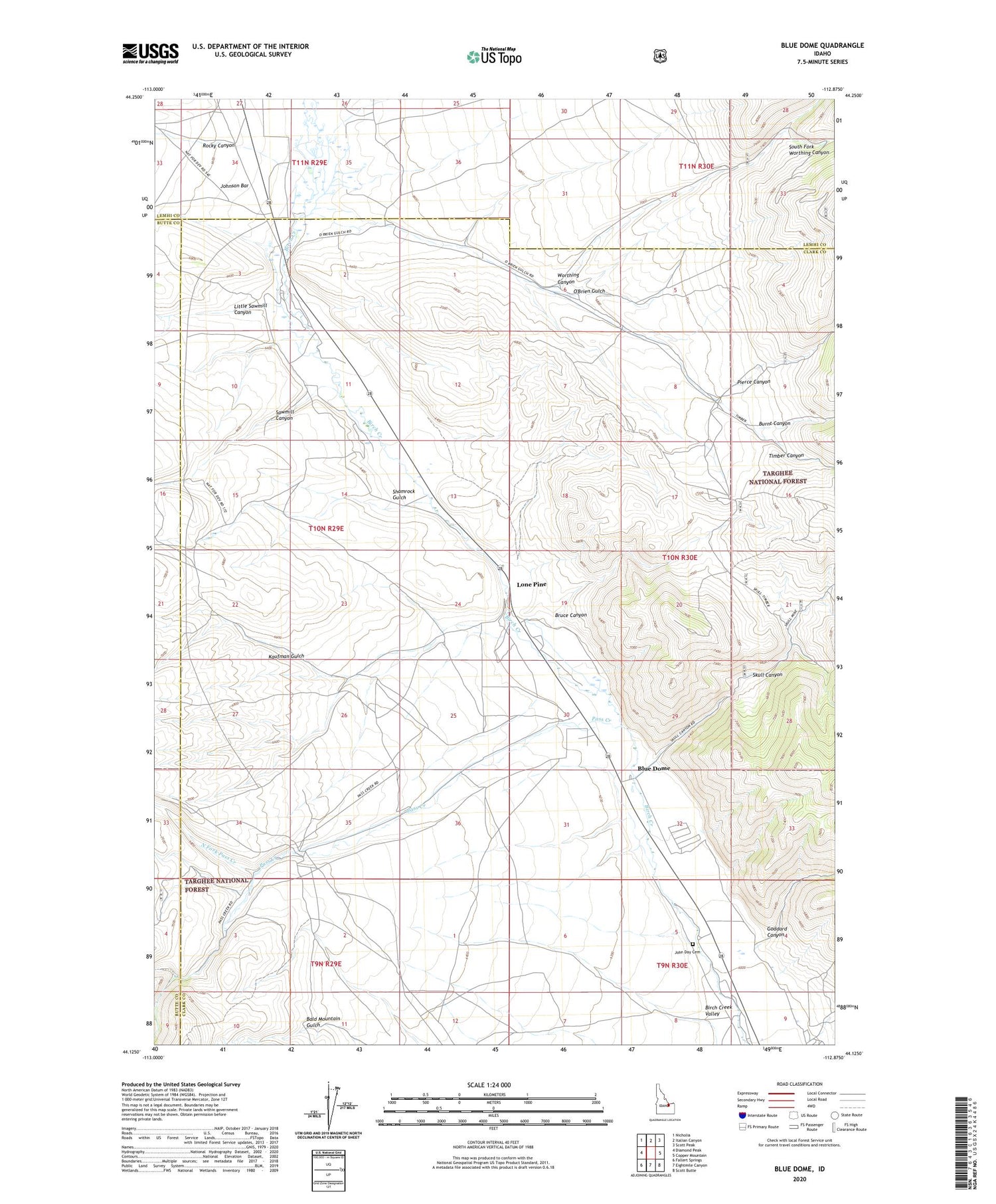
Also explore the Blue Dome Forest Service Topo of this same quad for updated USFS data
2024 topographic map quadrangle Blue Dome in the state of Idaho. Scale: 1:24000. Based on the newly updated USGS 7.5' US Topo map series, this map is in the following counties: Clark, Lemhi, Butte. The map contains contour data, water features, and other items you are used to seeing on USGS maps, but also has updated roads and other features. This is the next generation of topographic maps. Printed on high-quality waterproof paper with UV fade-resistant inks.
Quads adjacent to this one:
West: Diamond Peak
Northwest: Nicholia
North: Italian Canyon
Northeast: Scott Peak
East: Copper Mountain
Southeast: Scott Butte
South: Eightmile Canyon
Southwest: Fallert Springs
This map covers the same area as the classic USGS quad with code o44112b8.
Contains the following named places: Birch Creek Hatchery, Blue Dome, Bruce Canyon, Burnt Canyon, Goddard Canyon, John Day Cemetery, Johnson Bar, Kaufman, Kaufman Guard Station, Kaufman Gulch, Little Sawmill Canyon, Lone Pine, Middle Fork Pass Creek, North Fork Pass Creek, O'Brien Gulch, Pass Creek, Pierce Canyon, Rocky Canyon, Sawmill Canyon, Shamrock Gulch, Skull Canyon, South Fork Pass Creek, South Fork Worthing Canyon, Timber Canyon, Worthing Canyon