MyTopo
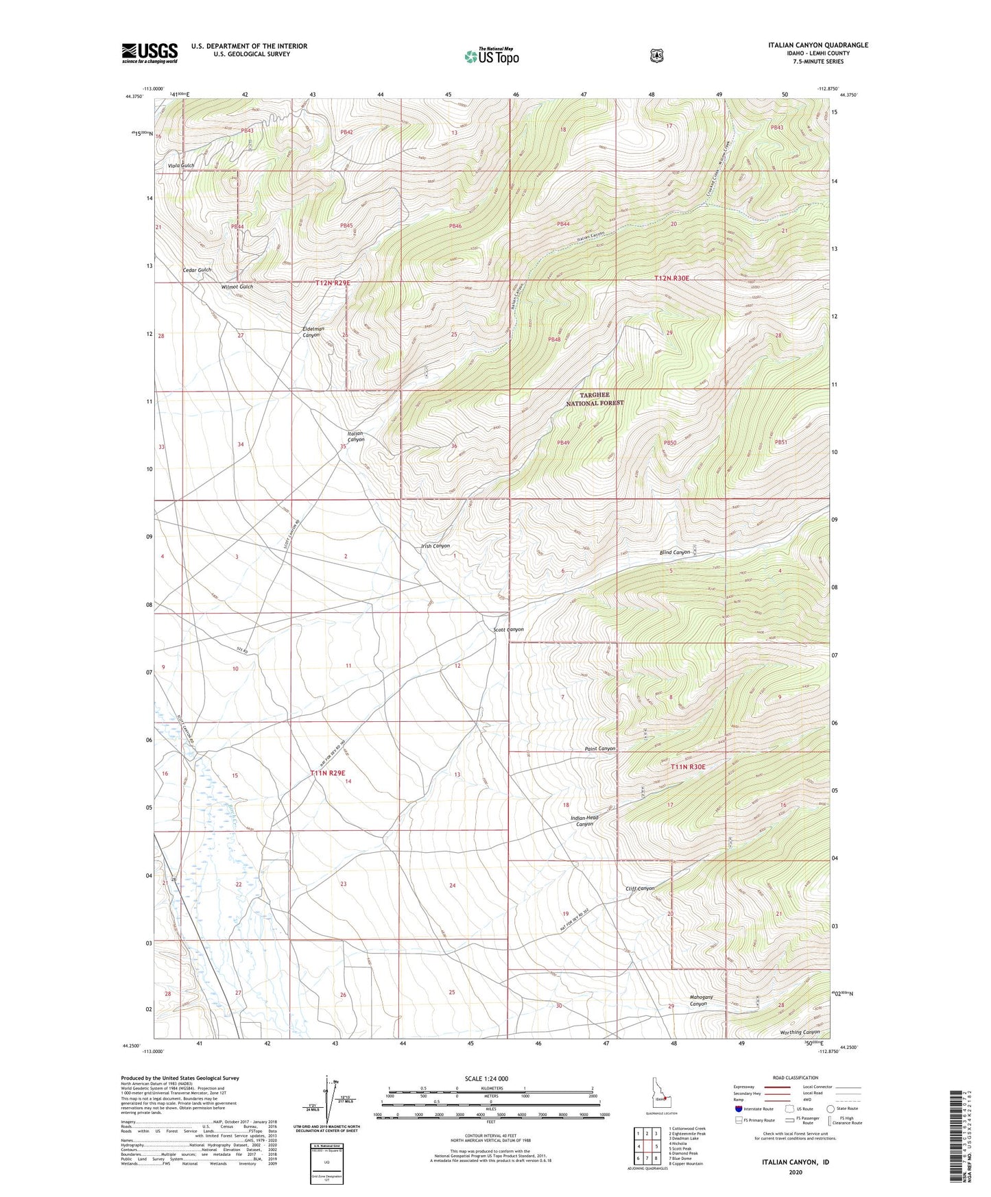
Italian Canyon Idaho US Topo Map
Couldn't load pickup availability
Also explore the Italian Canyon Forest Service Topo of this same quad for updated USFS data
2023 topographic map quadrangle Italian Canyon in the state of Idaho. Scale: 1:24000. Based on the newly updated USGS 7.5' US Topo map series, this map is in the following counties: Lemhi. The map contains contour data, water features, and other items you are used to seeing on USGS maps, but also has updated roads and other features. This is the next generation of topographic maps. Printed on high-quality waterproof paper with UV fade-resistant inks.
Quads adjacent to this one:
West: Nicholia
Northwest: Cottonwood Creek
North: Eighteenmile Peak
Northeast: Deadman Lake
East: Scott Peak
Southeast: Copper Mountain
South: Blue Dome
Southwest: Diamond Peak
This map covers the same area as the classic USGS quad with code o44112c8.
Contains the following named places: Barzee Cemetery, Blind Canyon, Cedar Gulch, Cliff Canyon, Eidelman Canyon, Indian Head Canyon, Irish Canyon, Italian Canyon, Mahogany Canyon, Mud Creek, Paint Canyon, Reno, Scott Canyon, Wilmot Gulch