MyTopo
Ibex Peak Idaho US Topo Map
Couldn't load pickup availability
Also explore the Ibex Peak Forest Service Topo of this same quad for updated USFS data
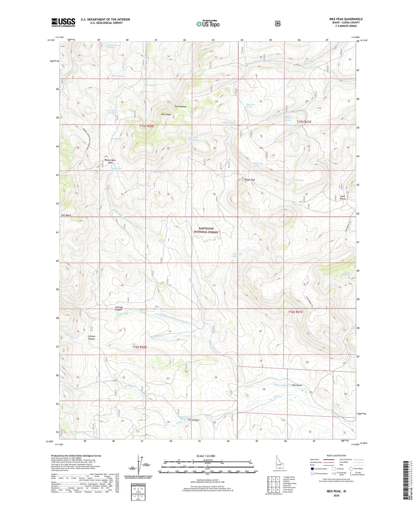
2023 topographic map quadrangle Ibex Peak in the state of Idaho. Scale: 1:24000. Based on the newly updated USGS 7.5' US Topo map series, this map is in the following counties: Cassia. The map contains contour data, water features, and other items you are used to seeing on USGS maps, but also has updated roads and other features. This is the next generation of topographic maps. Printed on high-quality waterproof paper with UV fade-resistant inks.
Quads adjacent to this one:
West: Mahogany Butte
Northwest: Trapper Peak
North: Severe Spring
Northeast: Oakley
East: Blue Hill
Southeast: Pole Creek
South: Nile Spring
Southwest: Fivemile Gulch
This map covers the same area as the classic USGS quad with code o42114a1.
Contains the following named places: Beaverdam Creek, Beaverdam Pass, Beaverdam Pass Spring, Carlson Canyon, Carlson Creek, Chalk Spring, Daves Pass, Daves Pass Spring, Dry Gulch, Dry Gulch Spring, Emery Ranch, Frish Ranch, Hole in the Wall Spring, Ibex Peak, Johnnys Canyon, Left Hand Fork Beaverdam Creek, Lone Cedar Spring, Lone Pine Spring, Mabey Spring, Mabey Spring Number 2, Magpie Spring, N E Canyon, N E Creek, N W Spring, Orangeburg Spring, Owens Corral Spring, Point Spring, Right Hand Fork Beaverdam Creek, Rock Spring, Rodeo Spring, Sage Hen Spring, Section 9 Spring, Sheep Spring, Swede Spring, Tent Spring, Triple Spring, Twin Springs, Wards Corral, Worthington Mine