MyTopo
Severe Spring Idaho US Topo Map
Couldn't load pickup availability
Also explore the Severe Spring Forest Service Topo of this same quad for updated USFS data
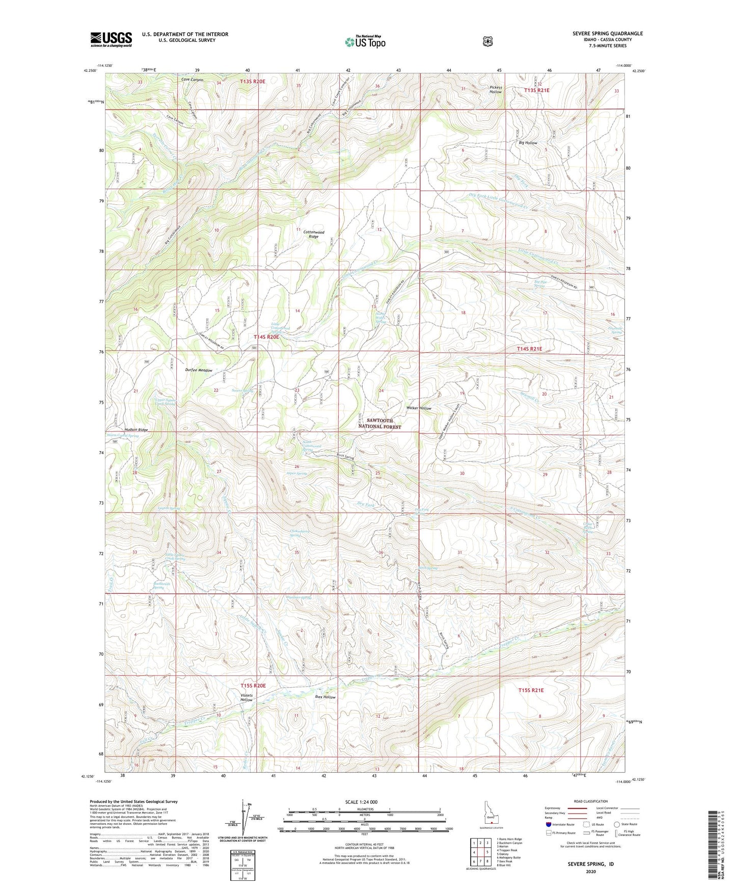
2024 topographic map quadrangle Severe Spring in the state of Idaho. Scale: 1:24000. Based on the newly updated USGS 7.5' US Topo map series, this map is in the following counties: Cassia. The map contains contour data, water features, and other items you are used to seeing on USGS maps, but also has updated roads and other features. This is the next generation of topographic maps. Printed on high-quality waterproof paper with UV fade-resistant inks.
Quads adjacent to this one:
West: Trapper Peak
Northwest: Rams Horn Ridge
North: Buckhorn Canyon
Northeast: Marion
East: Oakley
Southeast: Blue Hill
South: Ibex Peak
Southwest: Mahogany Butte
This map covers the same area as the classic USGS quad with code o42114b1.
Contains the following named places: Aspen Spring, Big Pipe Spring, Billys Hole Creek, Birch Spring, Buck Corral Creek, Buckbrush Spring, Cedar Birch Spring, Chokecherry Spring, Cottonwood Ridge, Dry Fork, Dry Fork Little Cottonwood Creek, Dry Fork Spring, Dummer Spring, Durfee Meadow, Fall Creek, Ibex Hollow, Layton Spring, Little Cottonwood Spring, Little Squaw Creek, Little Squaw Creek Spring, North Water Spring, Oakley Division, Rodeo Creek, Severe Spring, South Cottonwood Spring, Squaw Creek, Terrells Corral Creek, Upper Squaw Creek Spring, Violets Hollow