MyTopo
Bovill Idaho US Topo Map
Couldn't load pickup availability
Also explore the Bovill Forest Service Topo of this same quad for updated USFS data
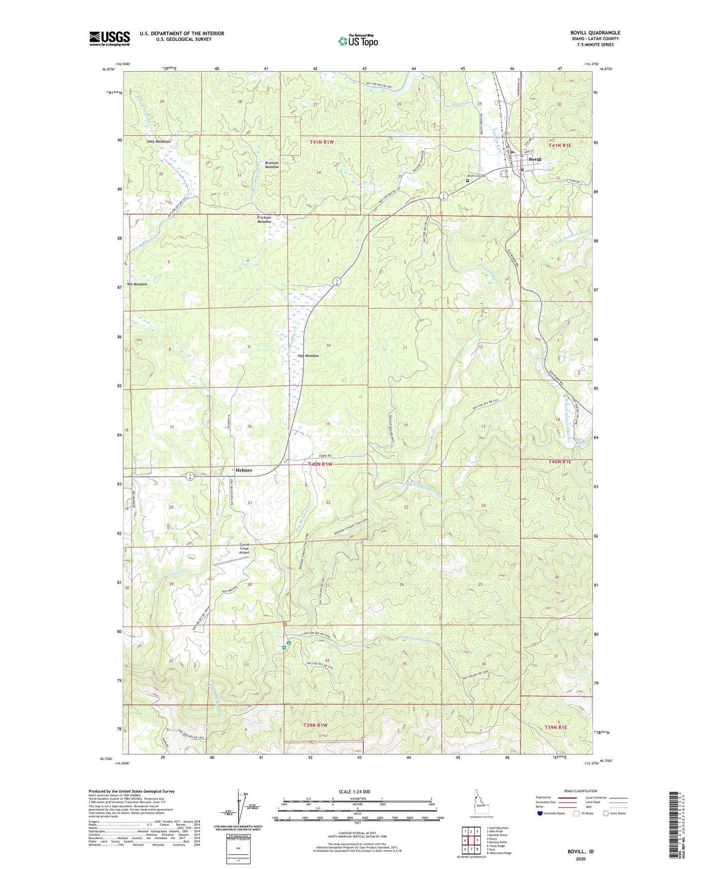
2024 topographic map quadrangle Bovill in the state of Idaho. Scale: 1:24000. Based on the newly updated USGS 7.5' US Topo map series, this map is in the following counties: Latah. The map contains contour data, water features, and other items you are used to seeing on USGS maps, but also has updated roads and other features. This is the next generation of topographic maps. Printed on high-quality waterproof paper with UV fade-resistant inks.
Quads adjacent to this one:
West: Deary
Northwest: Sand Mountain
North: Abes Knob
Northeast: Bechtel Butte
East: McGary Butte
Southeast: Aldermand Ridge
South: Park
Southwest: Texas Ridge
This map covers the same area as the classic USGS quad with code o46116g4.
Contains the following named places: Bovill, Bovill Cemetery, Bovill Elementary School, Bovill Fire Department, Bovill Post Office, Bronson Meadow, City of Bovill, Cornell Station, Corral Creek, Corral Creek Airport, Deary-Bovill Division, East Fork Corral Creek, East Fork Potlatch River, Erickson Meadow, Halls Hilltop Landing Strip, Helmer, Hog Meadow, Hog Meadow Creek, Little Boulder Campground, Little Boulder Creek, Moose Creek, Moose Creek Dam, Moose Creek Reservoir, Ruby Creek, Shea Meadows, Slabtown, Tee Meadow, Wagon Town Hill