MyTopo
Cambridge Idaho US Topo Map
Couldn't load pickup availability
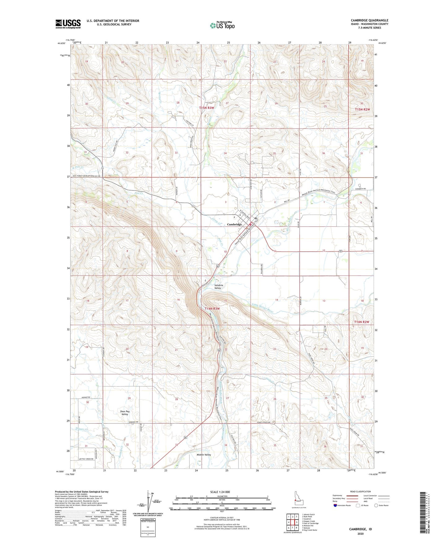
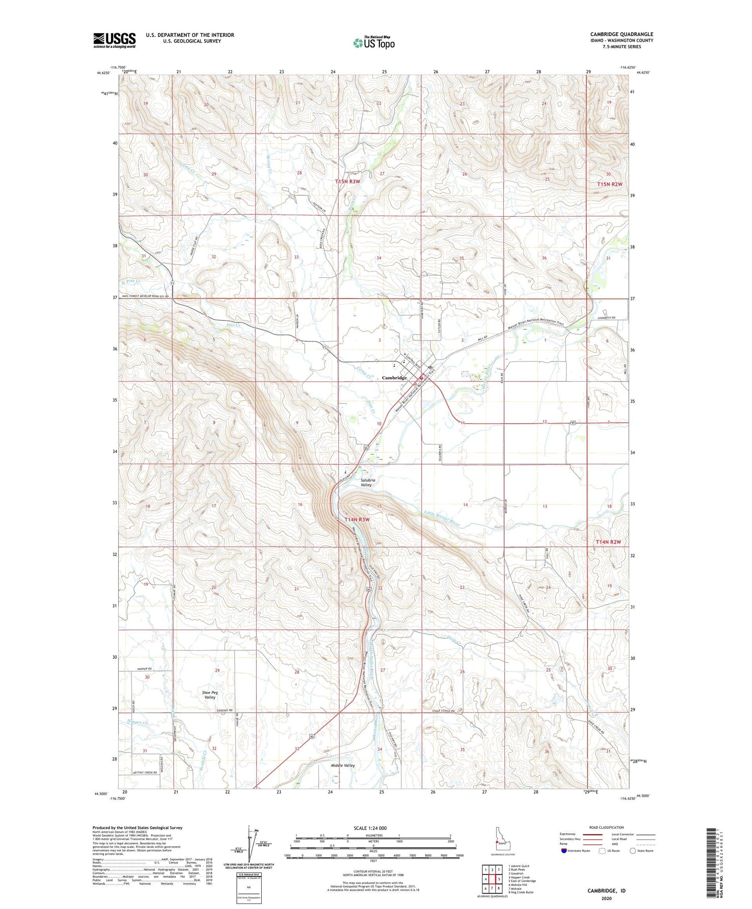
2024 topographic map quadrangle Cambridge in the state of Idaho. Scale: 1:24000. Based on the newly updated USGS 7.5' US Topo map series, this map is in the following counties: Washington. The map contains contour data, water features, and other items you are used to seeing on USGS maps, but also has updated roads and other features. This is the next generation of topographic maps. Printed on high-quality waterproof paper with UV fade-resistant inks.
Quads adjacent to this one:
West: Hopper Creek
Northwest: Advent Gulch
North: Rush Peak
Northeast: Goodrich
East: East of Cambridge
Southeast: Hog Creek Butte
South: Midvale
Southwest: Midvale Hill
This map covers the same area as the classic USGS quad with code o44116e6.
Contains the following named places: Cambridge, Cambridge Elementary School, Cambridge Fire Protection District, Cambridge Junior and Senior High School, Cambridge Post Office, Camp Creek, City of Cambridge, Deer Creek, Dixie Creek, Fairchild Gulch, Hopper Creek, Little Weiser River, Middle Valley Ditch, Pine Creek, Rush Creek, Salubria, Salubria Valley, Spring Creek, Two Tree Gulch, West Pine Creek