MyTopo
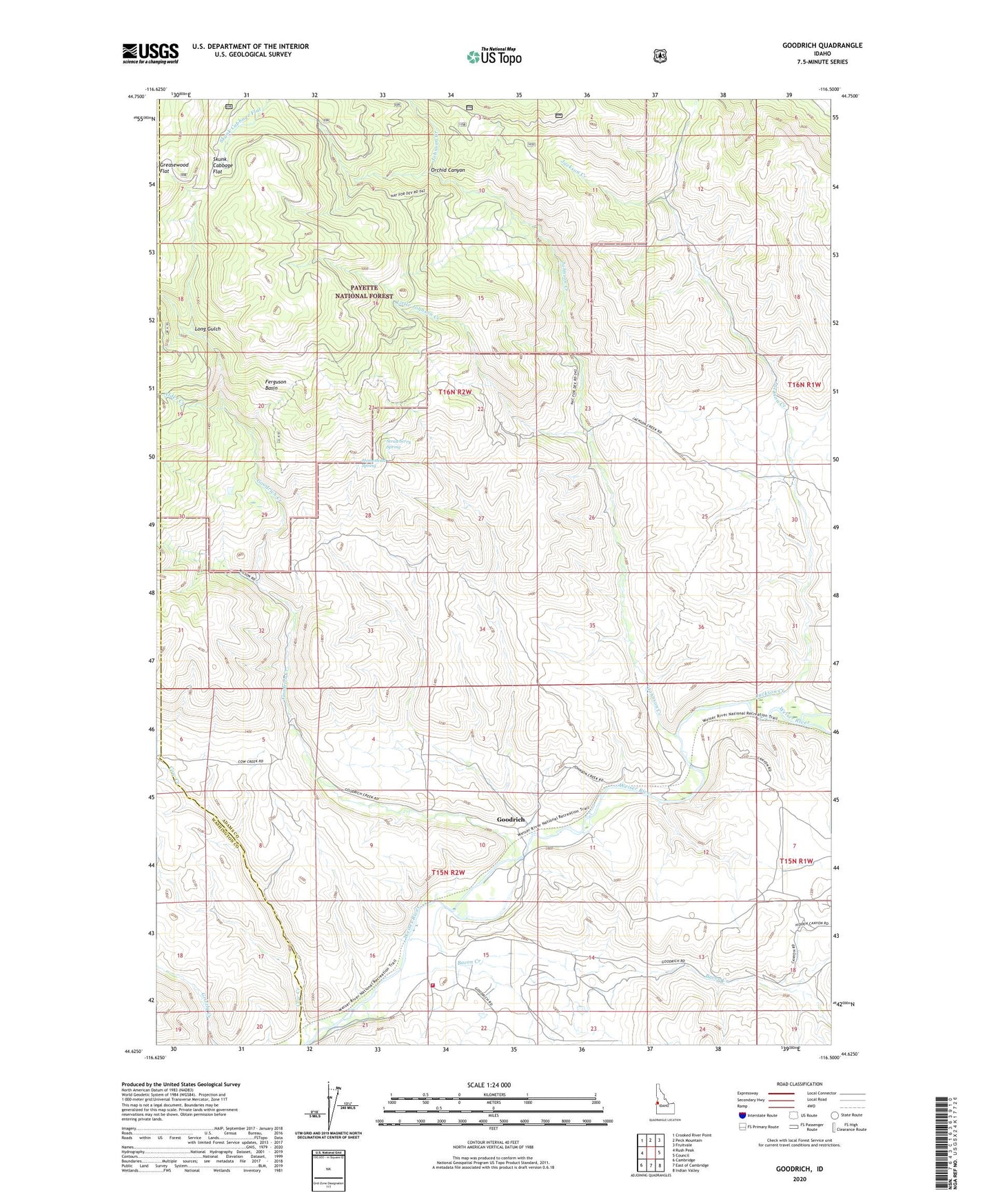
Goodrich Idaho US Topo Map
Couldn't load pickup availability
Also explore the Goodrich Forest Service Topo of this same quad for updated USFS data
2024 topographic map quadrangle Goodrich in the state of Idaho. Scale: 1:24000. Based on the newly updated USGS 7.5' US Topo map series, this map is in the following counties: Adams, Washington. The map contains contour data, water features, and other items you are used to seeing on USGS maps, but also has updated roads and other features. This is the next generation of topographic maps. Printed on high-quality waterproof paper with UV fade-resistant inks.
Quads adjacent to this one:
West: Rush Peak
Northwest: Crooked River Point
North: Peck Mountain
Northeast: Fruitvale
East: Council
Southeast: Indian Valley
South: East of Cambridge
Southwest: Cambridge
This map covers the same area as the classic USGS quad with code o44116f5.
Contains the following named places: Alder Creek, Bacon, Bacon Creek, Ferguson Basin, Glenn Gallant Dam, Goodrich, Goodrich Creek, Greasewood Flat, Homestead Spring, Indian Valley Rural Fire Department Station 3, Jackson Creek, Johnson Creek, Little Johnson Creek, Long Gulch, Orchid Canyon, Strawberry Spring