MyTopo
Coonrod Gulch Idaho US Topo Map
Couldn't load pickup availability
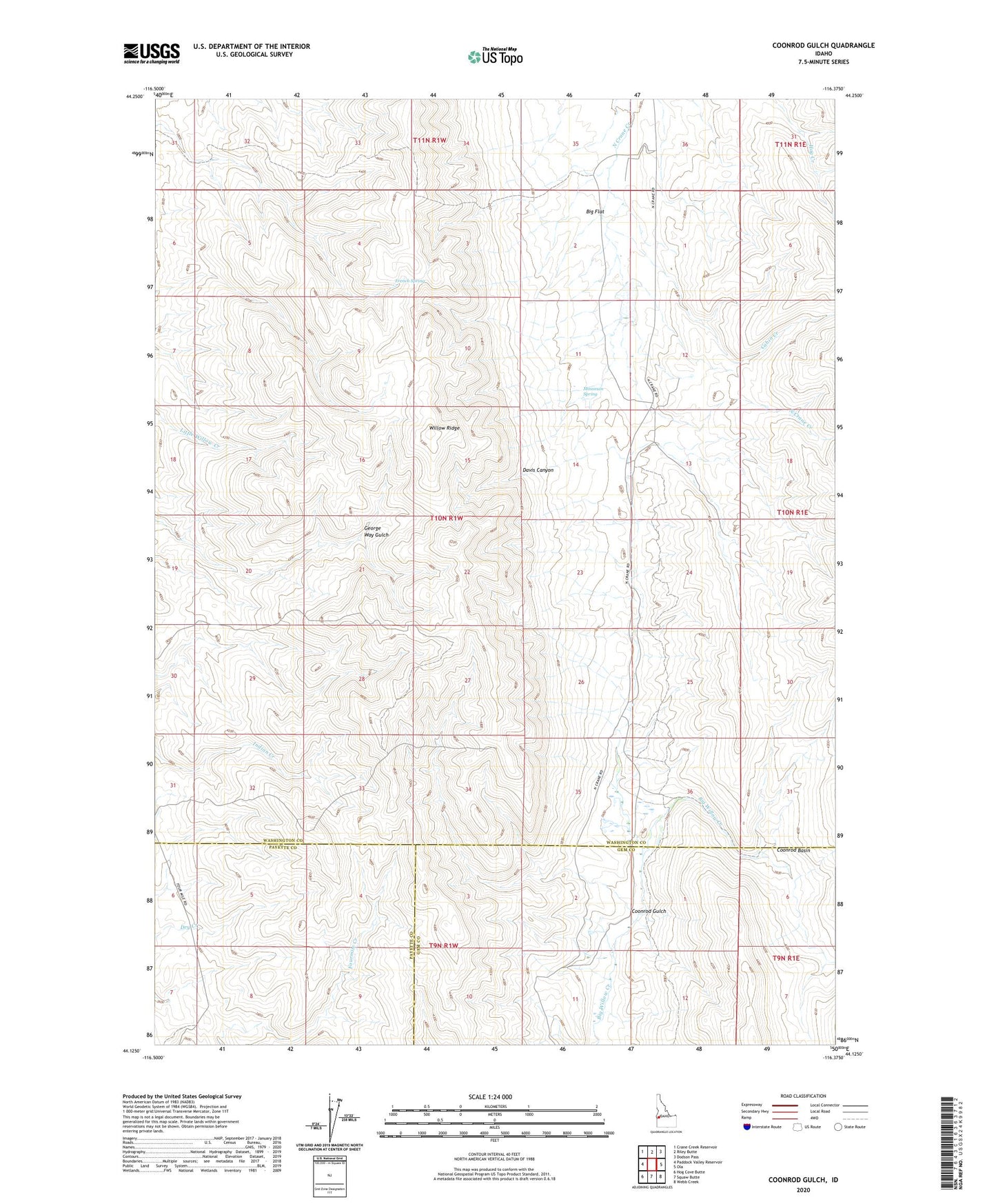
2024 topographic map quadrangle Coonrod Gulch in the state of Idaho. Scale: 1:24000. Based on the newly updated USGS 7.5' US Topo map series, this map is in the following counties: Washington, Gem, Payette. The map contains contour data, water features, and other items you are used to seeing on USGS maps, but also has updated roads and other features. This is the next generation of topographic maps. Printed on high-quality waterproof paper with UV fade-resistant inks.
Quads adjacent to this one:
West: Paddock Valley Reservoir
Northwest: Crane Creek Reservoir
North: Riley Butte
Northeast: Dodson Pass
East: Ola
Southeast: Webb Creek
South: Squaw Butte
Southwest: Hog Cove Butte
This map covers the same area as the classic USGS quad with code o44116b4.
Contains the following named places: Butte Ranch, Cabin Creek, Coonrod Basin, Coonrod Gulch, Davis Canyon, French Spring, Little Dam, Mossman Spring, Willow Ridge