MyTopo
Culdesac North Idaho US Topo Map
Couldn't load pickup availability
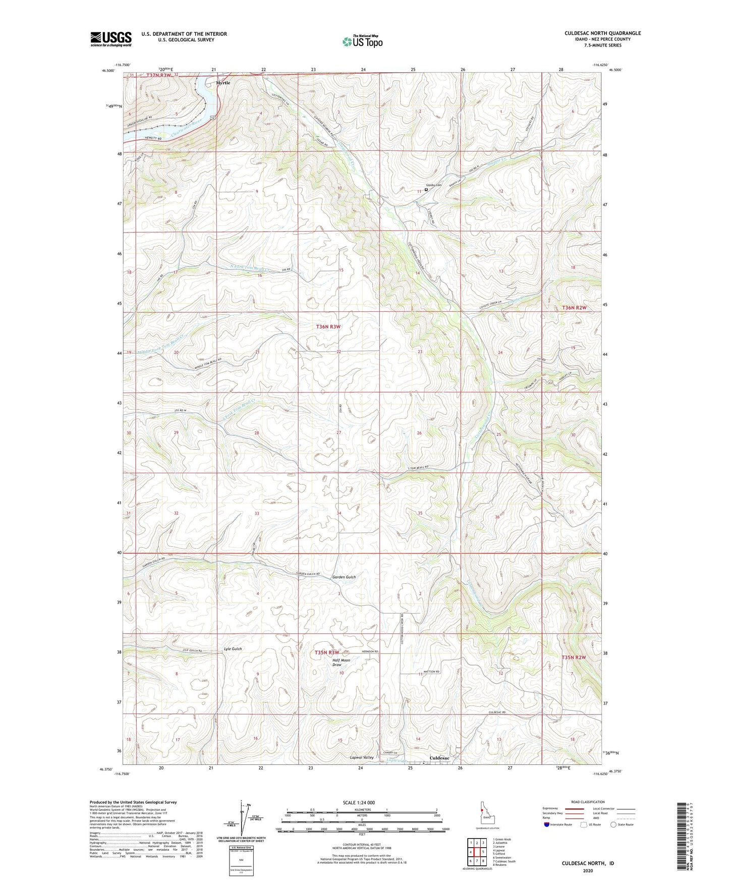
2024 topographic map quadrangle Culdesac North in the state of Idaho. Scale: 1:24000. Based on the newly updated USGS 7.5' US Topo map series, this map is in the following counties: Nez Perce. The map contains contour data, water features, and other items you are used to seeing on USGS maps, but also has updated roads and other features. This is the next generation of topographic maps. Printed on high-quality waterproof paper with UV fade-resistant inks.
Quads adjacent to this one:
West: Lapwai
Northwest: Green Knob
North: Juliaetta
Northeast: Lenore
East: Gifford
Southeast: Reubens
South: Culdesac South
Southwest: Sweetwater
This map covers the same area as the classic USGS quad with code o46116d6.
Contains the following named places: Cottonwood Creek, Coyote Creek, Culdesac Cemetery, Culdesac School, Glasby Cemetery, Half Moon Draw, Indian Cemetery, Magpie Creek, Myrtle, Myrtle Access, Nez Perce Division