MyTopo
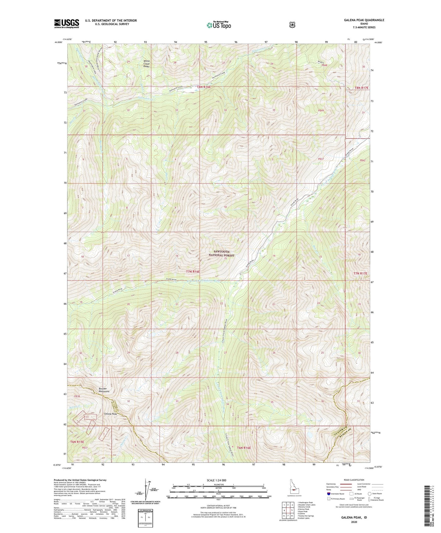
Galena Peak Idaho US Topo Map
Couldn't load pickup availability
Also explore the Galena Peak Forest Service Topo of this same quad for updated USFS data
2023 topographic map quadrangle Galena Peak in the state of Idaho. Scale: 1:24000. Based on the newly updated USGS 7.5' US Topo map series, this map is in the following counties: Custer, Blaine. The map contains contour data, water features, and other items you are used to seeing on USGS maps, but also has updated roads and other features. This is the next generation of topographic maps. Printed on high-quality waterproof paper with UV fade-resistant inks.
Quads adjacent to this one:
West: Horton Peak
Northwest: Washington Peak
North: Boulder Chain Lakes
Northeast: Bowery Creek
East: Ryan Peak
Southeast: Amber Lakes
South: Easley Hot Springs
Southwest: Galena
This map covers the same area as the classic USGS quad with code o43114h5.
Contains the following named places: Alta Creek, Deer Creek, Galena Peak, Ibex Creek, Jack Creek, MacRae Creek, South Fork East Fork Salmon River, Washington Creek, Washington Lake Creek, West Fork East Fork Salmon River