MyTopo
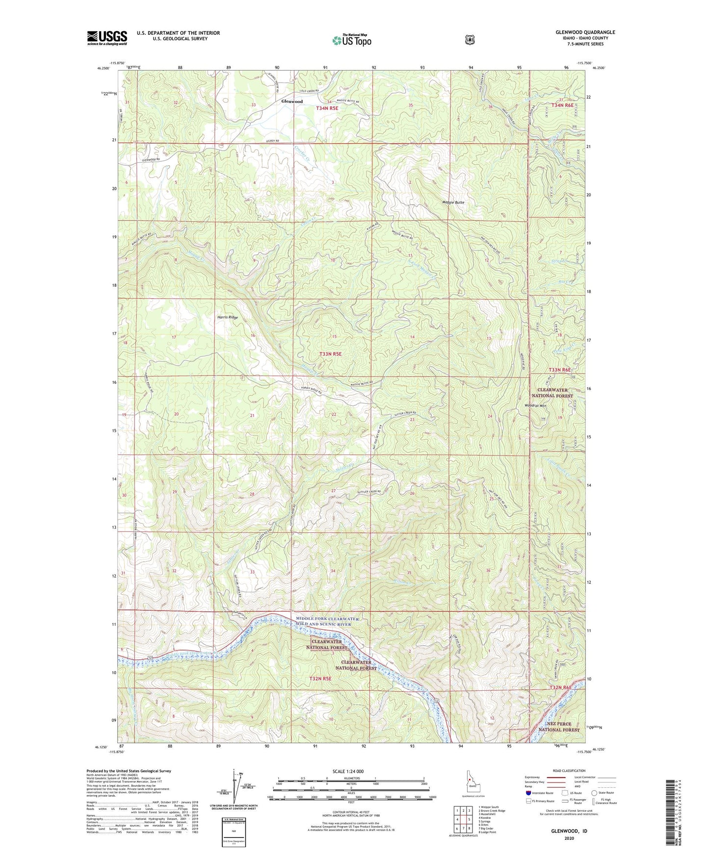
Glenwood Idaho US Topo Map
Couldn't load pickup availability
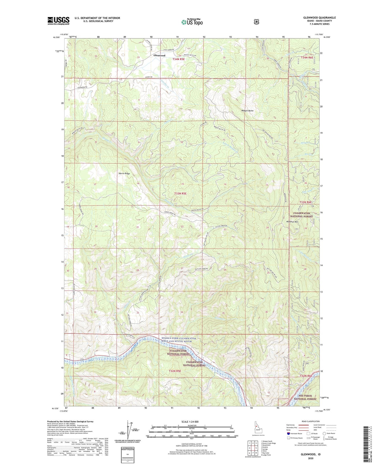
Also explore the Glenwood Forest Service Topo of this same quad for updated USFS data
2024 topographic map quadrangle Glenwood in the state of Idaho. Scale: 1:24000. Based on the newly updated USGS 7.5' US Topo map series, this map is in the following counties: Idaho. The map contains contour data, water features, and other items you are used to seeing on USGS maps, but also has updated roads and other features. This is the next generation of topographic maps. Printed on high-quality waterproof paper with UV fade-resistant inks.
Quads adjacent to this one:
West: Kooskia
Northwest: Weippe South
North: Brown Creek Ridge
Northeast: Musselshell
East: Syringa
Southeast: Lodge Point
South: Big Cedar
Southwest: Stites
This map covers the same area as the classic USGS quad with code o46115b7.
Contains the following named places: Big Horse Canyon Creek, Cabin Creek, Glenwood, Harris Ridge, Lynx Creek, Maggie Butte, Molly Creek, North Fork Maggie Creek, Snyder Creek, Suttler Creek, Wilson Creek, Woodrat Mountain