MyTopo
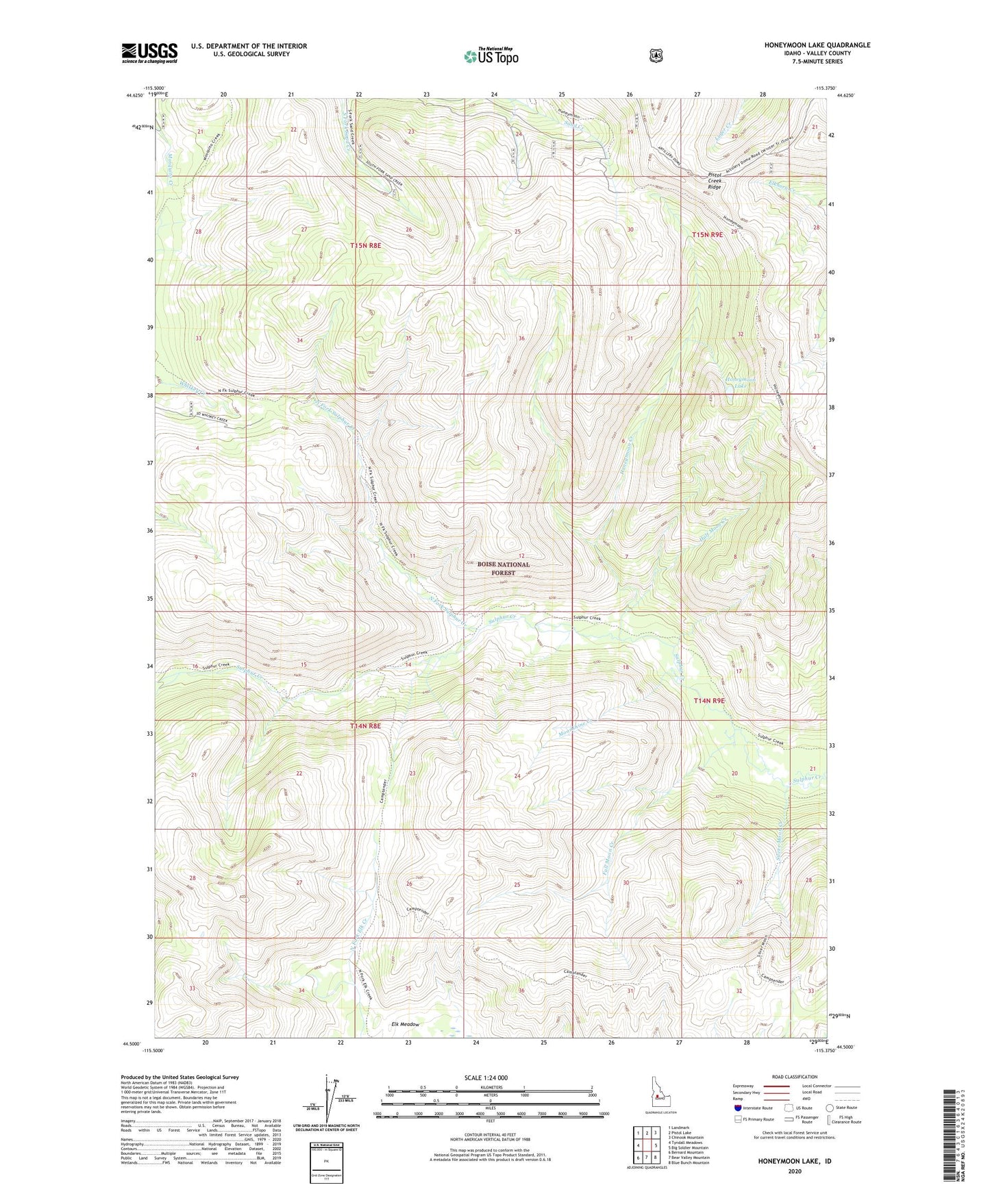
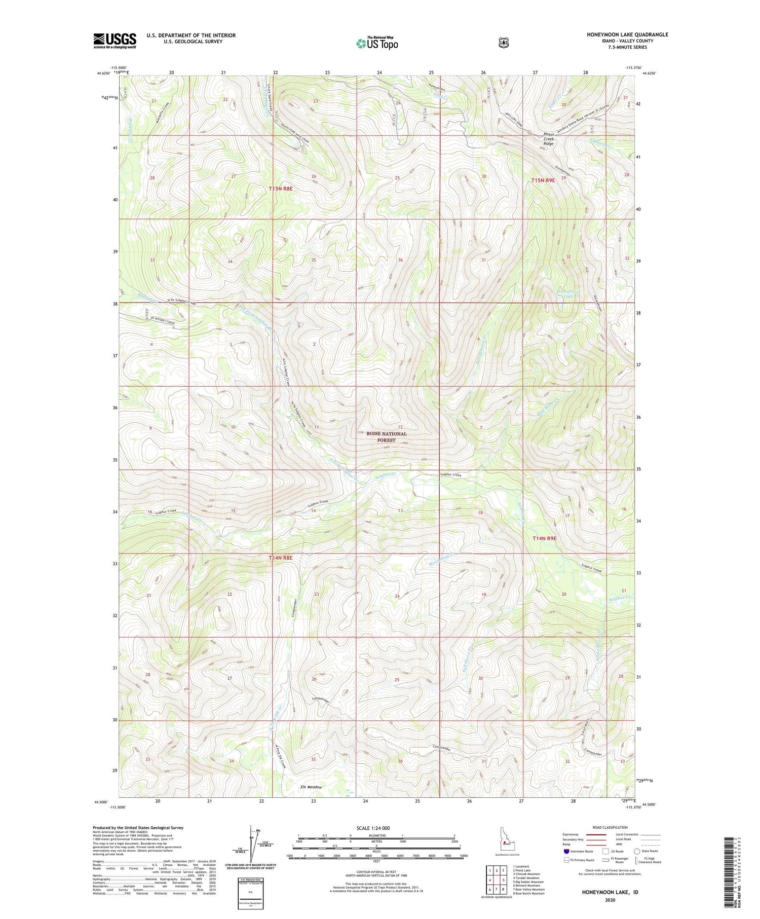
Honeymoon Lake Idaho US Topo Map
Couldn't load pickup availability
Also explore the Honeymoon Lake Forest Service Topo of this same quad for updated USFS data
2024 topographic map quadrangle Honeymoon Lake in the state of Idaho. Scale: 1:24000. Based on the newly updated USGS 7.5' US Topo map series, this map is in the following counties: Valley. The map contains contour data, water features, and other items you are used to seeing on USGS maps, but also has updated roads and other features. This is the next generation of topographic maps. Printed on high-quality waterproof paper with UV fade-resistant inks.
Quads adjacent to this one:
West: Tyndall Meadows
Northwest: Landmark
North: Pistol Lake
Northeast: Chinook Mountain
East: Big Soldier Mountain
Southeast: Blue Bunch Mountain
South: Bear Valley Mountain
Southwest: Bernard Mountain
This map covers the same area as the classic USGS quad with code o44115e4.
Contains the following named places: Full Moon Creek, Half Moon Creek, Honeymoon Creek, Honeymoon Lake, Moonshine Creek, North Fork Sulphur Creek, Portland Mine, Silver Moon Creek, Sulphur Creek Trail