MyTopo
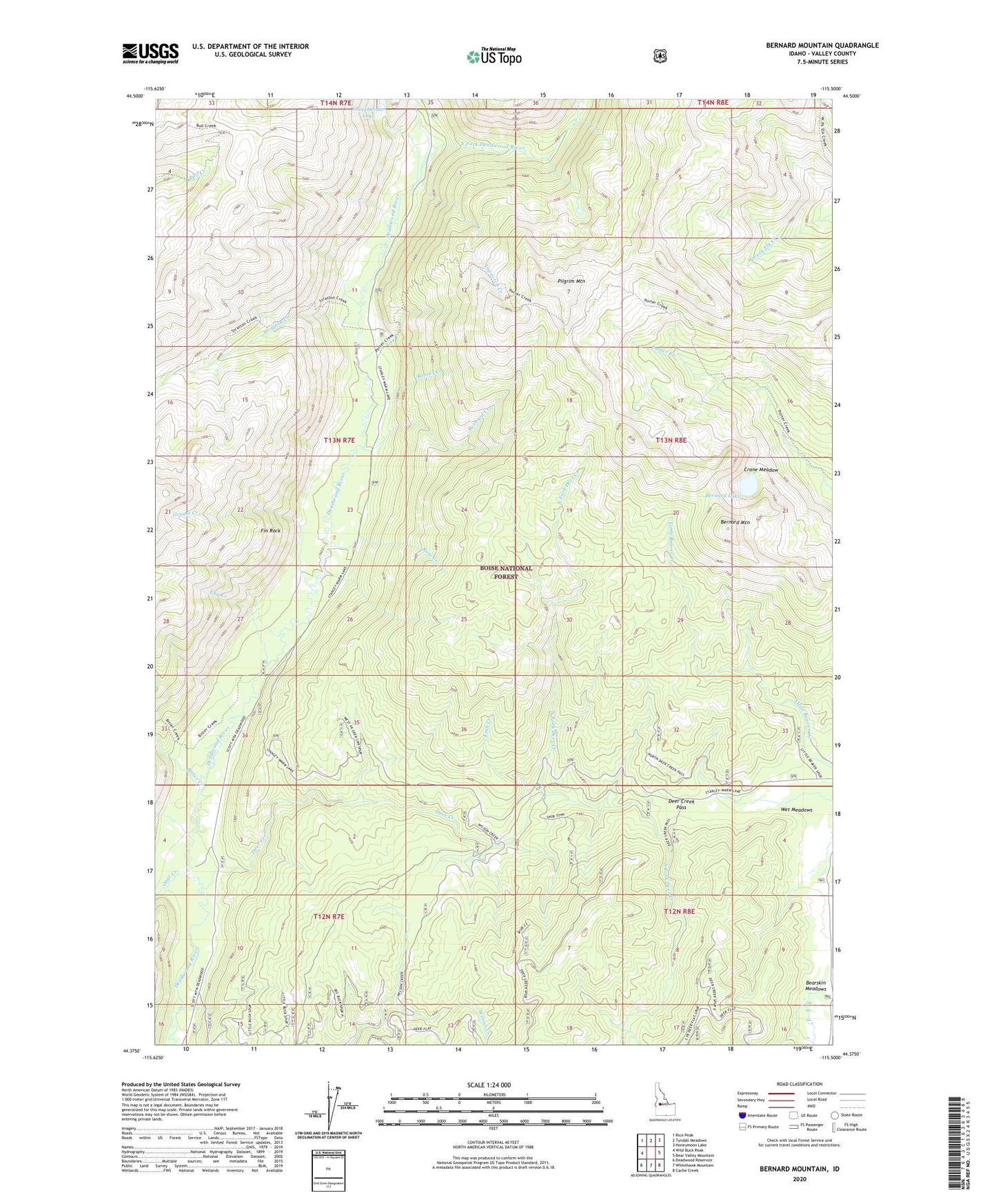
Bernard Mountain Idaho US Topo Map
Couldn't load pickup availability
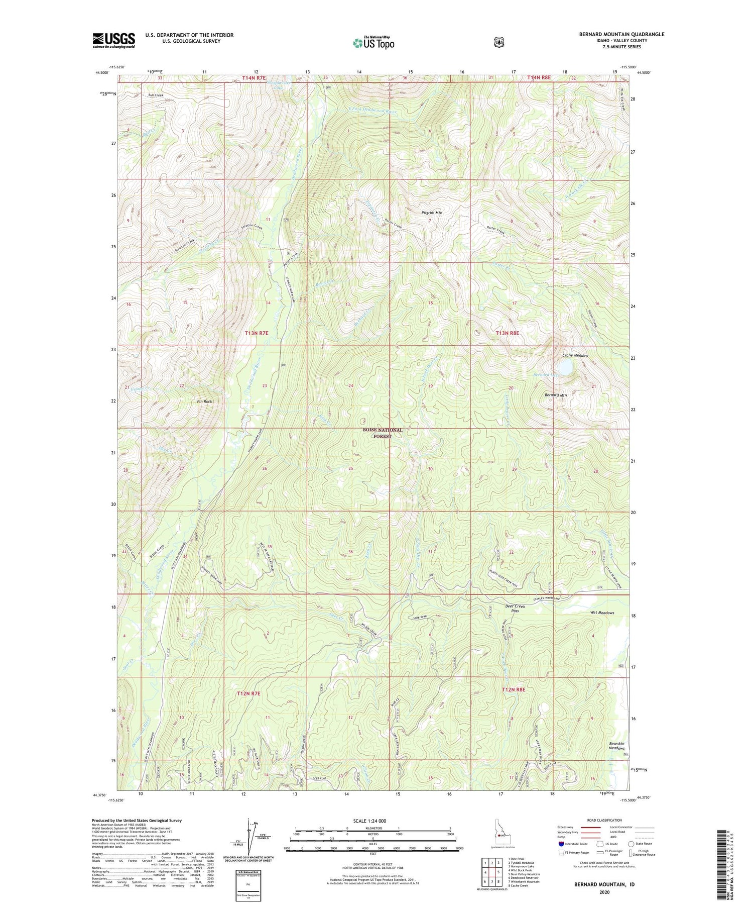
Also explore the Bernard Mountain Forest Service Topo of this same quad for updated USFS data
2024 topographic map quadrangle Bernard Mountain in the state of Idaho. Scale: 1:24000. Based on the newly updated USGS 7.5' US Topo map series, this map is in the following counties: Valley. The map contains contour data, water features, and other items you are used to seeing on USGS maps, but also has updated roads and other features. This is the next generation of topographic maps. Printed on high-quality waterproof paper with UV fade-resistant inks.
Quads adjacent to this one:
West: Wild Buck Peak
Northwest: Rice Peak
North: Tyndall Meadows
Northeast: Honeymoon Lake
East: Bear Valley Mountain
Southeast: Cache Creek
South: Whitehawk Mountain
Southwest: Deadwood Reservoir
This map covers the same area as the classic USGS quad with code o44115d5.
Contains the following named places: Bernard Creek, Bernard Lake, Bernard Mountain, Bitter Creek, Crane Meadow, Deadwood, Deadwood Lodge, Deadwood Mine, Deer Creek, Deer Creek Pass, Deer Flat Campground, East Fork Deadwood River, Eby Creek, Fin Rock, Goat Creek, Grouse Creek, Kesh Creek, Little Beaver Creek Trail, Mary Jane Mine, North Fork Deer Creek, Pilgrim Mountain, Porter Creek Trail, Reeves Creek, Rice Peak Trail, Ross Creek, South Fork Deer Creek, Stratton Creek, Topnotch Creek, Upper Deadwood Guard Station, Wet Meadows, Wild Buck Trail