MyTopo
Hunt Idaho US Topo Map
Couldn't load pickup availability
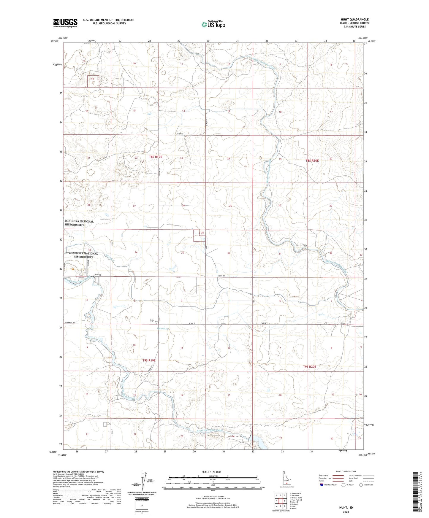
2023 topographic map quadrangle Hunt in the state of Idaho. Scale: 1:24000. Based on the newly updated USGS 7.5' US Topo map series, this map is in the following counties: Jerome. The map contains contour data, water features, and other items you are used to seeing on USGS maps, but also has updated roads and other features. This is the next generation of topographic maps. Printed on high-quality waterproof paper with UV fade-resistant inks.
Quads adjacent to this one:
West: Twin Falls NE
Northwest: Shoshone SE
North: Star Lake
Northeast: Owinza Butte
East: Eden NE
Southeast: Milner
South: Eden
Southwest: Kimberly
This map covers the same area as the classic USGS quad with code o42114f2.
Contains the following named places: Big Wood Drain Ditch, Hunt Division, Lateral 21, Lateral 21A, Lateral 21C, Lateral 27, Minidoka National Historic Site, North Side Main Canal, Wilson Lake Dam