MyTopo
Twin Falls NE Idaho US Topo Map
Couldn't load pickup availability
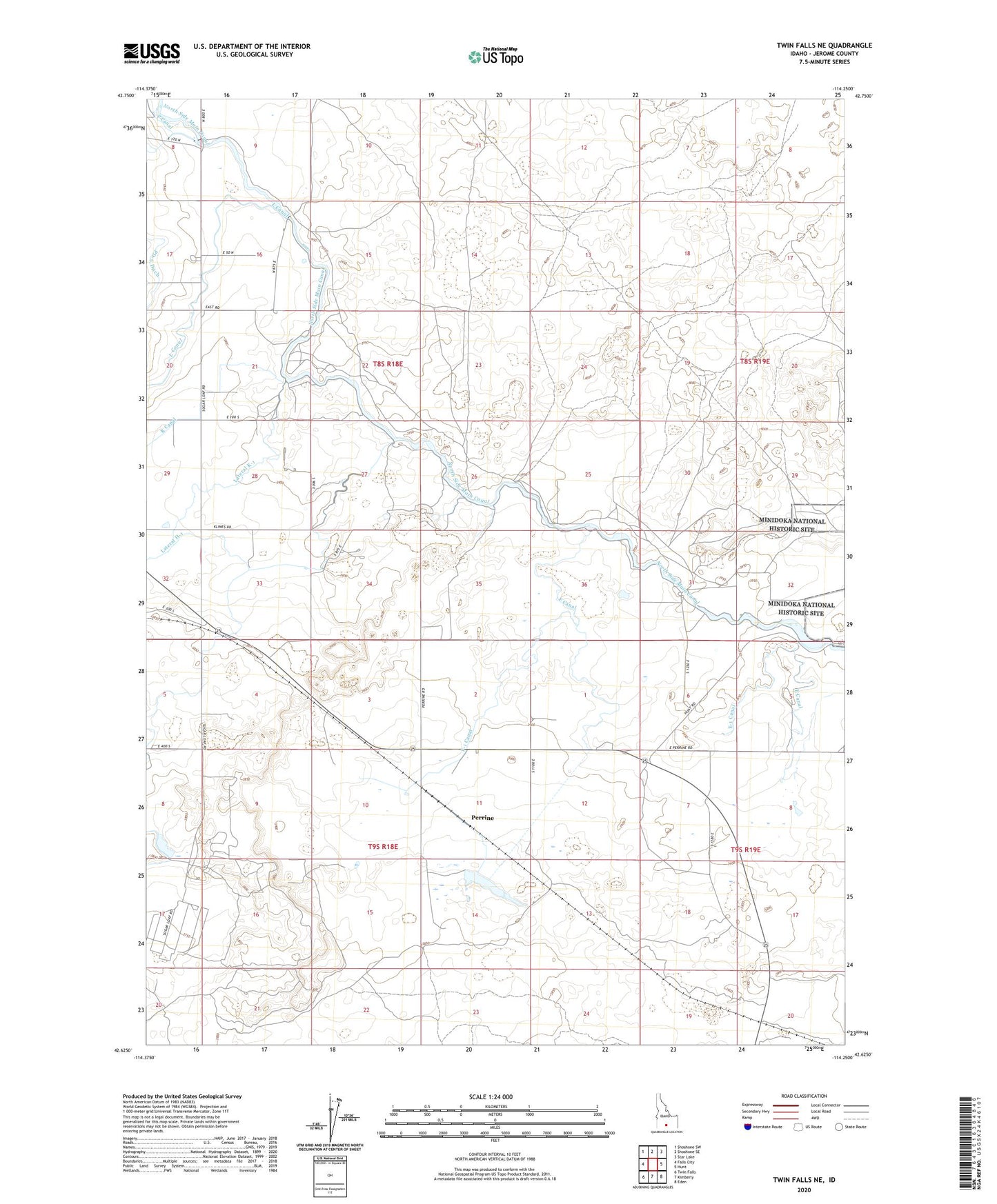
2024 topographic map quadrangle Twin Falls NE in the state of Idaho. Scale: 1:24000. Based on the newly updated USGS 7.5' US Topo map series, this map is in the following counties: Jerome. The map contains contour data, water features, and other items you are used to seeing on USGS maps, but also has updated roads and other features. This is the next generation of topographic maps. Printed on high-quality waterproof paper with UV fade-resistant inks.
Quads adjacent to this one:
West: Falls City
Northwest: Shoshone SW
North: Shoshone SE
Northeast: Star Lake
East: Hunt
Southeast: Eden
South: Kimberly
Southwest: Twin Falls
This map covers the same area as the classic USGS quad with code o42114f3.
Contains the following named places: E Canal, E-1 Canal, F Canal, F Pipeline, F-1 Canal, G Canal, H Canal, Hunt, Jerome County, Lateral K-1, Minidoka Internment National Monument, Minidoka Relocation Center, Mountain Home Care Center, Number Four Pumping Station, Perrine