MyTopo
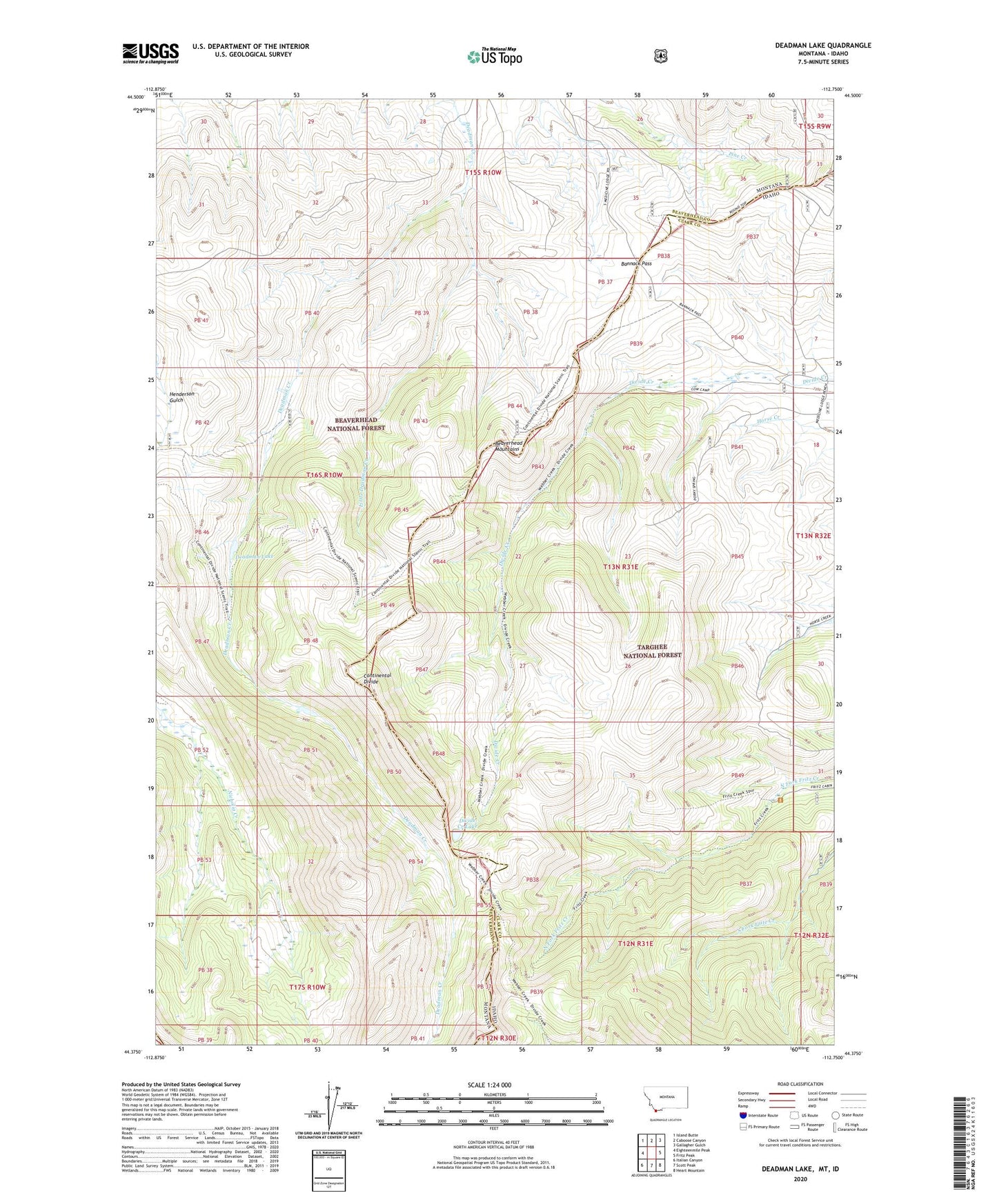
Deadman Lake Montana US Topo Map
Couldn't load pickup availability
Also explore the Deadman Lake Forest Service Topo of this same quad for updated USFS data
2024 topographic map quadrangle Deadman Lake in the states of Idaho, Montana. Scale: 1:24000. Based on the newly updated USGS 7.5' US Topo map series, this map is in the following counties: Beaverhead, Clark, Lemhi. The map contains contour data, water features, and other items you are used to seeing on USGS maps, but also has updated roads and other features. This is the next generation of topographic maps. Printed on high-quality waterproof paper with UV fade-resistant inks.
Quads adjacent to this one:
West: Eighteenmile Peak
Northwest: Island Butte
North: Caboose Canyon
Northeast: Gallagher Gulch
East: Fritz Peak
Southeast: Heart Mountain
South: Scott Peak
Southwest: Italian Canyon
This map covers the same area as the classic USGS quad with code o44112d7.
Contains the following named places: Bannack Pass, Cow Camp, Deadman Lake, Divide Creek Lake, Little Deadman Creek, Pioneer Pass