MyTopo
Jumpoff Hill Idaho US Topo Map
Couldn't load pickup availability
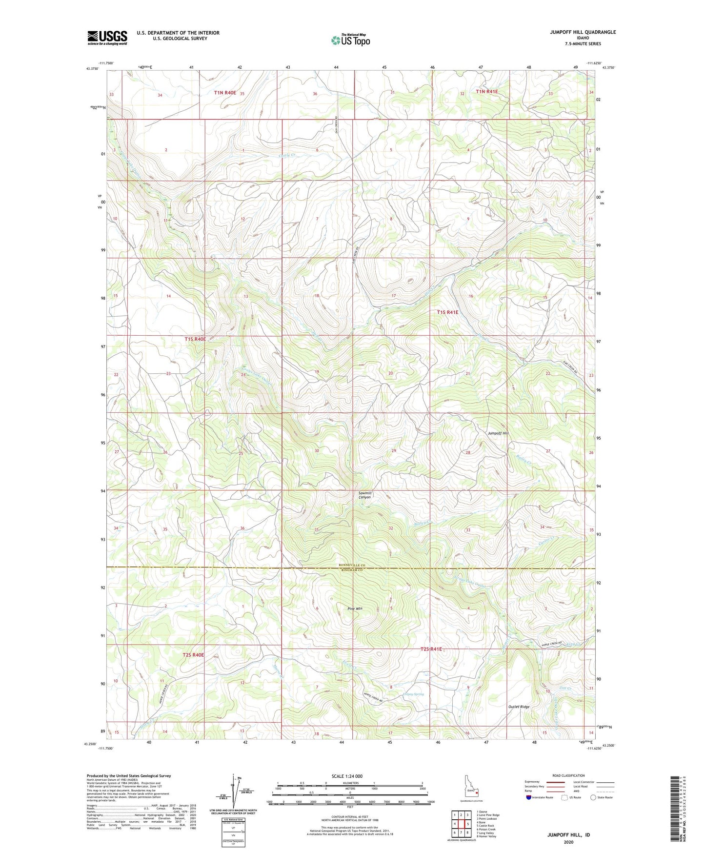
2024 topographic map quadrangle Jumpoff Hill in the state of Idaho. Scale: 1:24000. Based on the newly updated USGS 7.5' US Topo map series, this map is in the following counties: Bonneville, Bingham. The map contains contour data, water features, and other items you are used to seeing on USGS maps, but also has updated roads and other features. This is the next generation of topographic maps. Printed on high-quality waterproof paper with UV fade-resistant inks.
Quads adjacent to this one:
West: Bone
Northwest: Ozone
North: Lone Pine Ridge
Northeast: Point Lookout
East: Castle Rock
Southeast: Homer Valley
South: Long Valley
Southwest: Poison Creek
This map covers the same area as the classic USGS quad with code o43111c6.
Contains the following named places: Bailey Creek, Carter Creek, Cattle Creek, Dan Creek, Empey Spring, Evert Creek, Hell Creek, Homer Creek, Jim Creek, Jumpoff Hill, King Creek, Pine Mountain, Sawmill Canyon