MyTopo
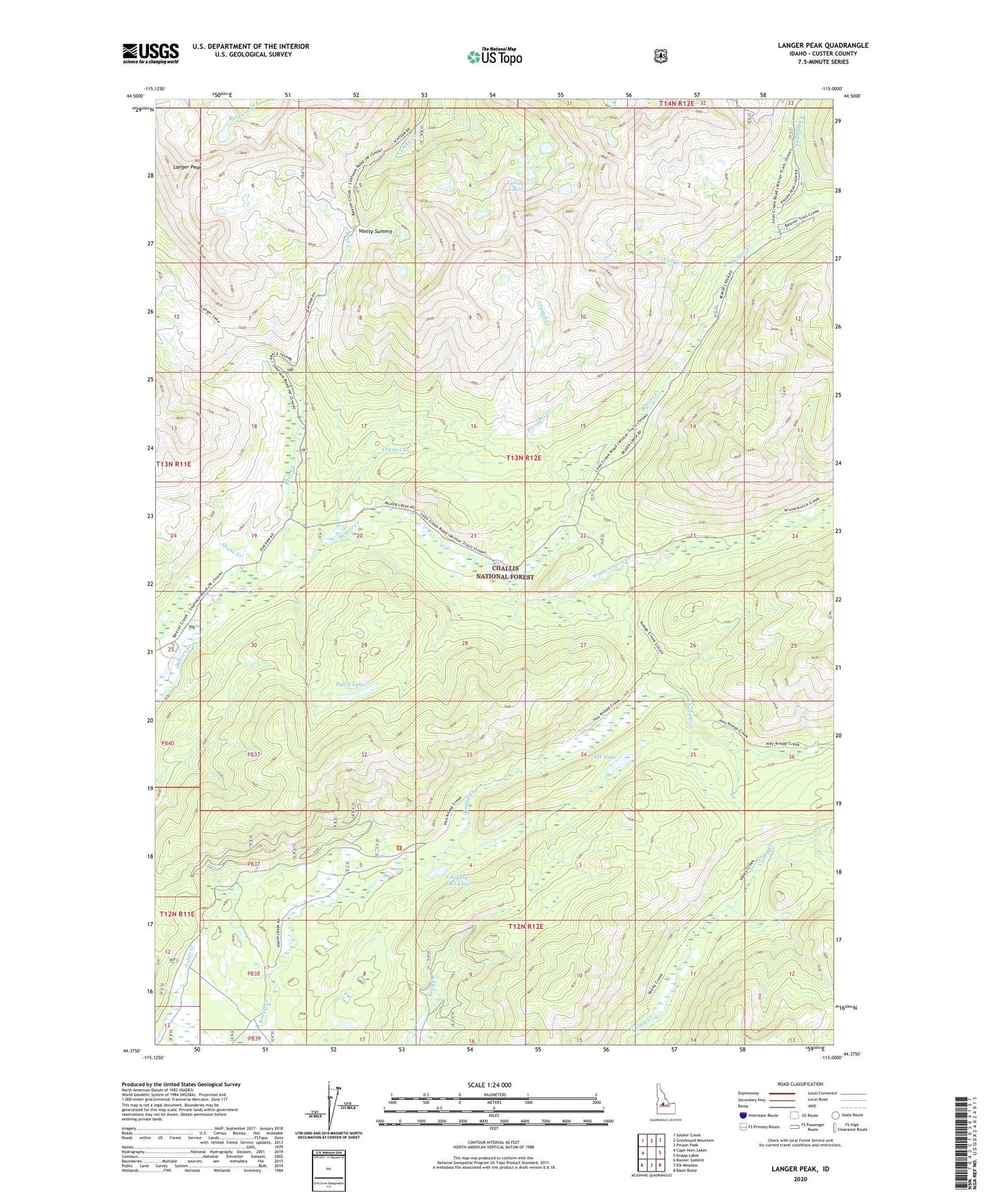
Langer Peak Idaho US Topo Map
Couldn't load pickup availability
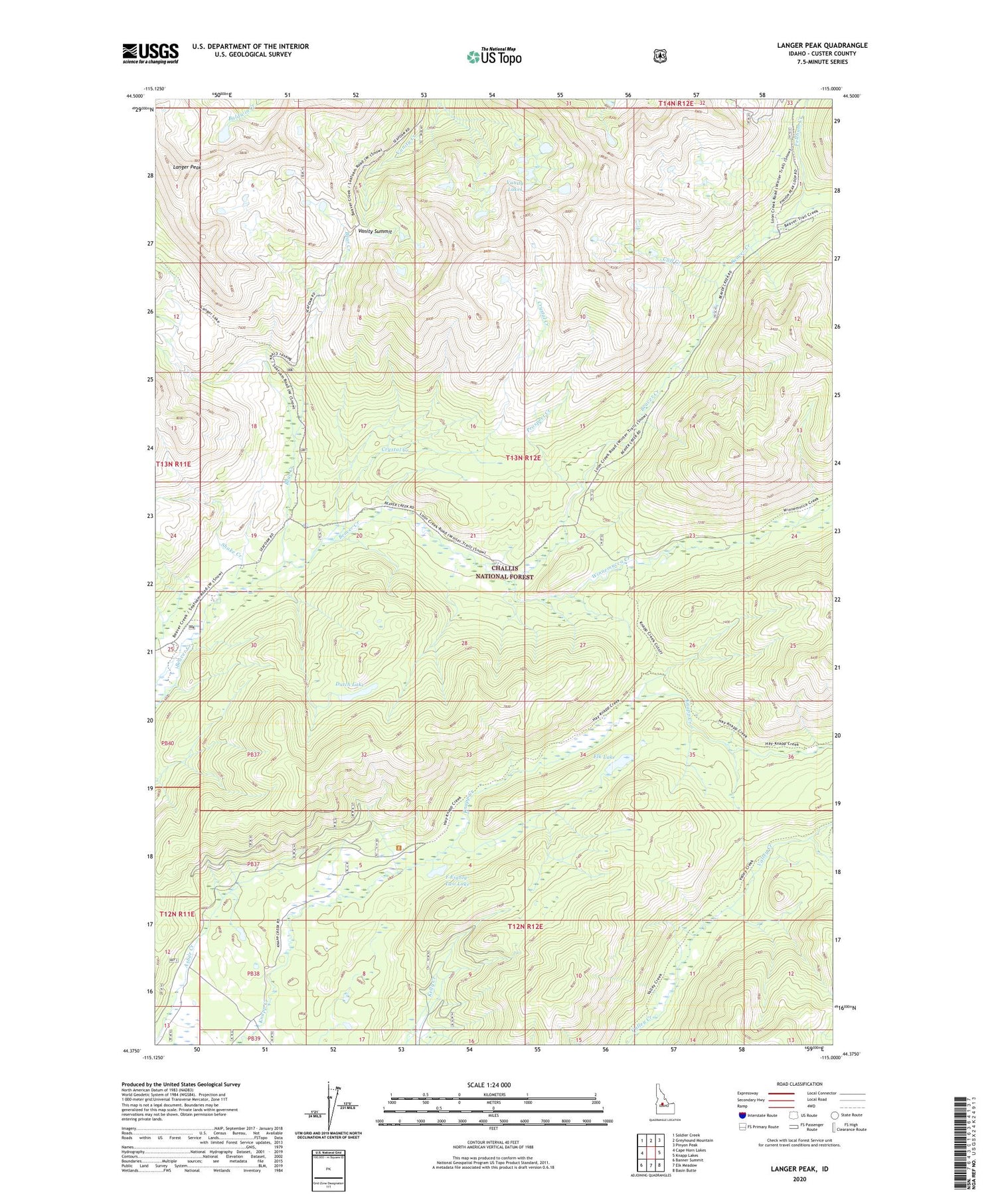
Also explore the Langer Peak Forest Service Topo of this same quad for updated USFS data
2024 topographic map quadrangle Langer Peak in the state of Idaho. Scale: 1:24000. Based on the newly updated USGS 7.5' US Topo map series, this map is in the following counties: Custer. The map contains contour data, water features, and other items you are used to seeing on USGS maps, but also has updated roads and other features. This is the next generation of topographic maps. Printed on high-quality waterproof paper with UV fade-resistant inks.
Quads adjacent to this one:
West: Cape Horn Lakes
Northwest: Soldier Creek
North: Greyhound Mountain
Northeast: Pinyon Peak
East: Knapp Lakes
Southeast: Basin Butte
South: Elk Meadow
Southwest: Banner Summit
This map covers the same area as the classic USGS quad with code o44115d1.
Contains the following named places: Bear Creek, Cliff Creek, Crystal Creek, Dutch Lake, Elk Lake, F Eighty-Two Lake, Feltham Creek, Langer Monument, Langer Peak, Prospect Creek, Shake Creek, Vanity Lakes, Vanity Summit, Winnemucca Creek