MyTopo
Mann Creek SE Idaho US Topo Map
Couldn't load pickup availability
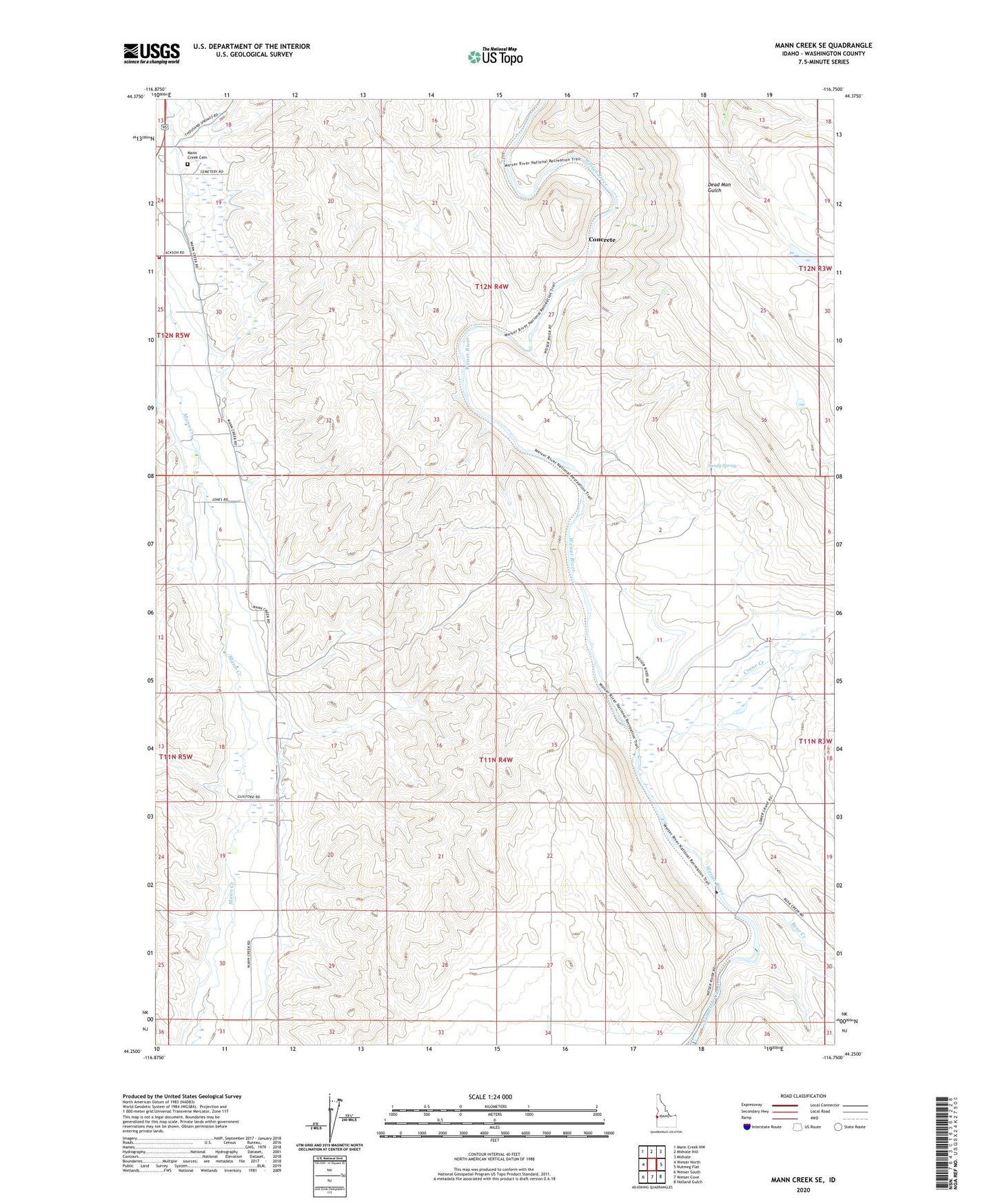
2024 topographic map quadrangle Mann Creek SE in the state of Idaho. Scale: 1:24000. Based on the newly updated USGS 7.5' US Topo map series, this map is in the following counties: Washington. The map contains contour data, water features, and other items you are used to seeing on USGS maps, but also has updated roads and other features. This is the next generation of topographic maps. Printed on high-quality waterproof paper with UV fade-resistant inks.
Quads adjacent to this one:
West: Weiser North
Northwest: Mann Creek NW
North: Midvale Hill
Northeast: Midvale
East: Nutmeg Flat
Southeast: Holland Gulch
South: Weiser Cove
Southwest: Weiser South
This map covers the same area as the classic USGS quad with code o44116c7.
Contains the following named places: Bear Creek, Catrock School, Concrete, Crane Creek, Echo Dell School, Enterprise School, Galloway Dam, Mann Creek Cemetery, Presley, Sailing School, Saling School, Sandy Spring, Thousand Springs Creek, Weiser Area Rural Fire Department Station 2 Mann Creek