MyTopo
Montour Idaho US Topo Map
Couldn't load pickup availability
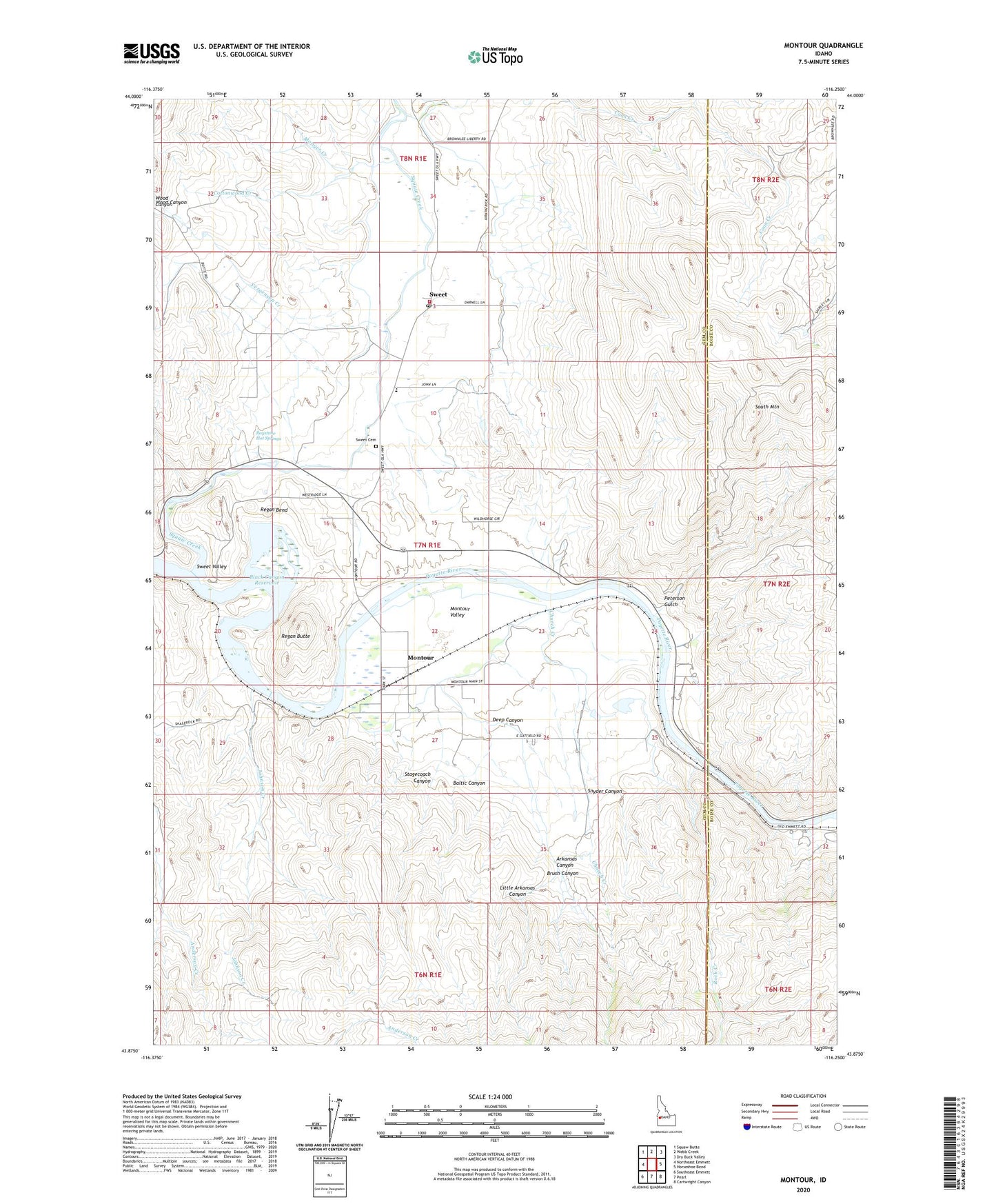
2024 topographic map quadrangle Montour in the state of Idaho. Scale: 1:24000. Based on the newly updated USGS 7.5' US Topo map series, this map is in the following counties: Gem, Boise. The map contains contour data, water features, and other items you are used to seeing on USGS maps, but also has updated roads and other features. This is the next generation of topographic maps. Printed on high-quality waterproof paper with UV fade-resistant inks.
Quads adjacent to this one:
West: Northeast Emmett
Northwest: Squaw Butte
North: Webb Creek
Northeast: Dry Buck Valley
East: Horseshoe Bend
Southeast: Cartwright Canyon
South: Pearl
Southwest: Southeast Emmett
This map covers the same area as the classic USGS quad with code o43116h3.
Contains the following named places: Arkansas Canyon, Baltic Canyon, Brush Canyon, Church Creek, Coon Creek, Cottonwood Creek, Deep Canyon, Gatfield Number Two Dam, Gem County Fire District 2 Sweet Station, Johnson Creek, Little Arkansas Canyon, Marsh, Monger Creek, Montour, Montour Valley, Peterson Gulch, Regan Bend, Regan Butte, Rock Creek, Roystone Hot Springs, Snyder Canyon, South Mountain, Squaw Creek, Stagecoach Canyon, Sweet, Sweet - Montour Elementary - Junior High School, Sweet Cemetery, Sweet Post Office, Sweet Valley, Yergenson Creek


