MyTopo
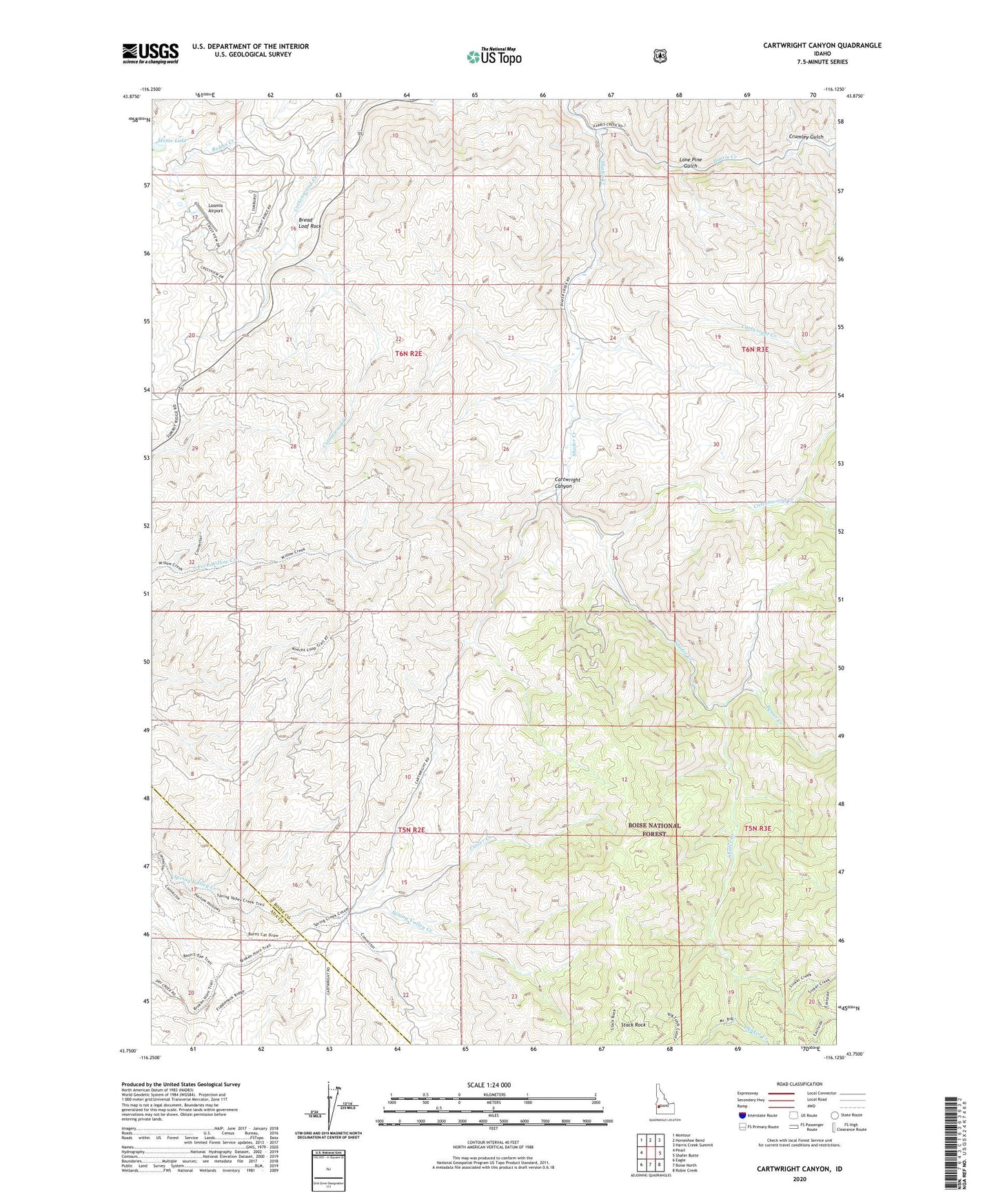
Cartwright Canyon Idaho US Topo Map
Couldn't load pickup availability
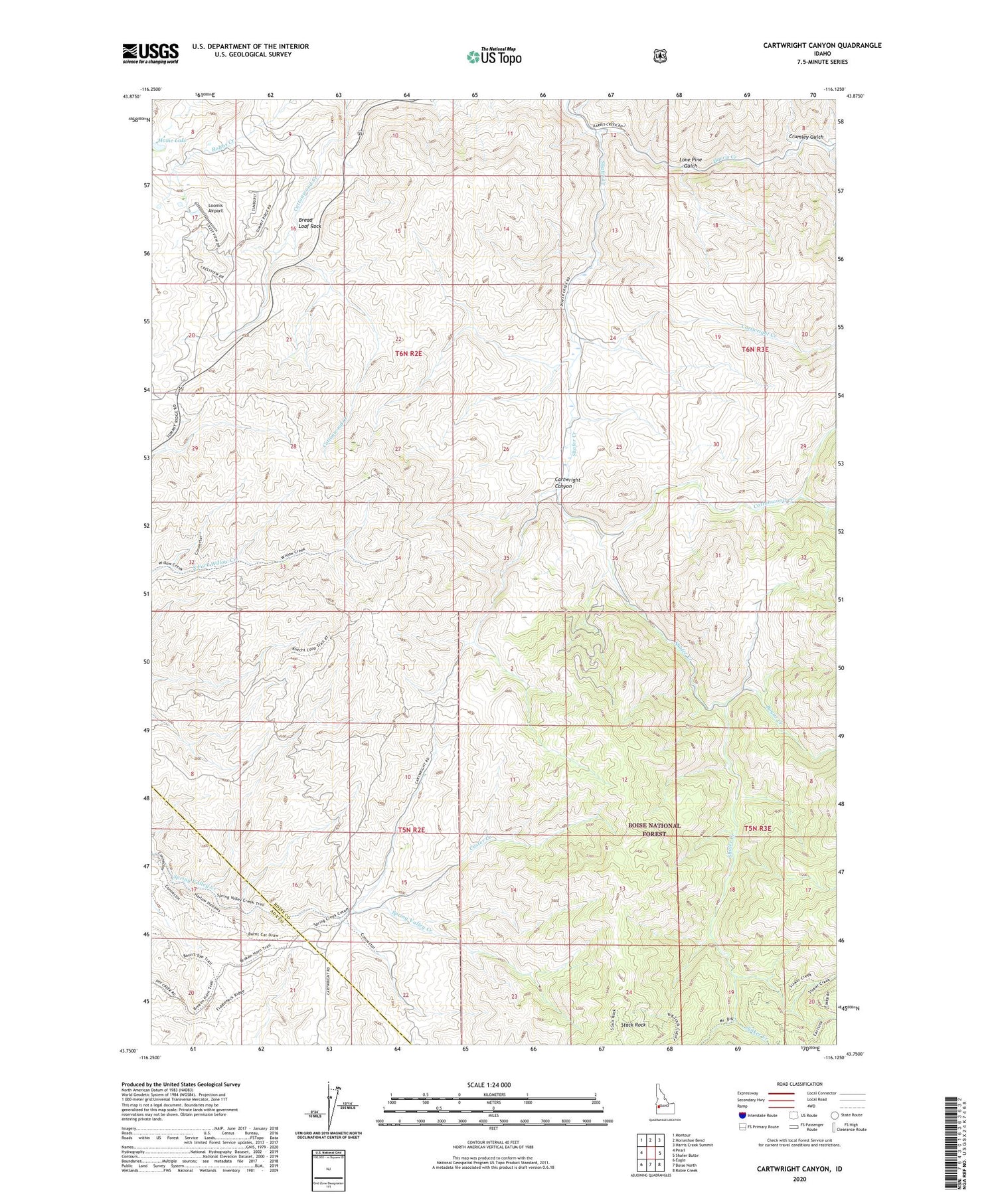
Also explore the Cartwright Canyon Forest Service Topo of this same quad for updated USFS data
2023 topographic map quadrangle Cartwright Canyon in the state of Idaho. Scale: 1:24000. Based on the newly updated USGS 7.5' US Topo map series, this map is in the following counties: Boise, Ada. The map contains contour data, water features, and other items you are used to seeing on USGS maps, but also has updated roads and other features. This is the next generation of topographic maps. Printed on high-quality waterproof paper with UV fade-resistant inks.
Quads adjacent to this one:
West: Pearl
Northwest: Montour
North: Horseshoe Bend
Northeast: Harris Creek Summit
East: Shafer Butte
Southeast: Robie Creek
South: Boise North
Southwest: Eagle
This map covers the same area as the classic USGS quad with code o43116g2.
Contains the following named places: Bogus Creek, Bread Loaf Rock, Cartwright Canyon, Cartwright Creek, Cottonwood Creek, Crumley Gulch, Custer Creek, Dobson Ranch, Harris Creek, Home Lake, Lone Pine Gulch, Loomis Airport, Sinker Creek, Stack Rock