MyTopo
Pearl Idaho US Topo Map
Couldn't load pickup availability
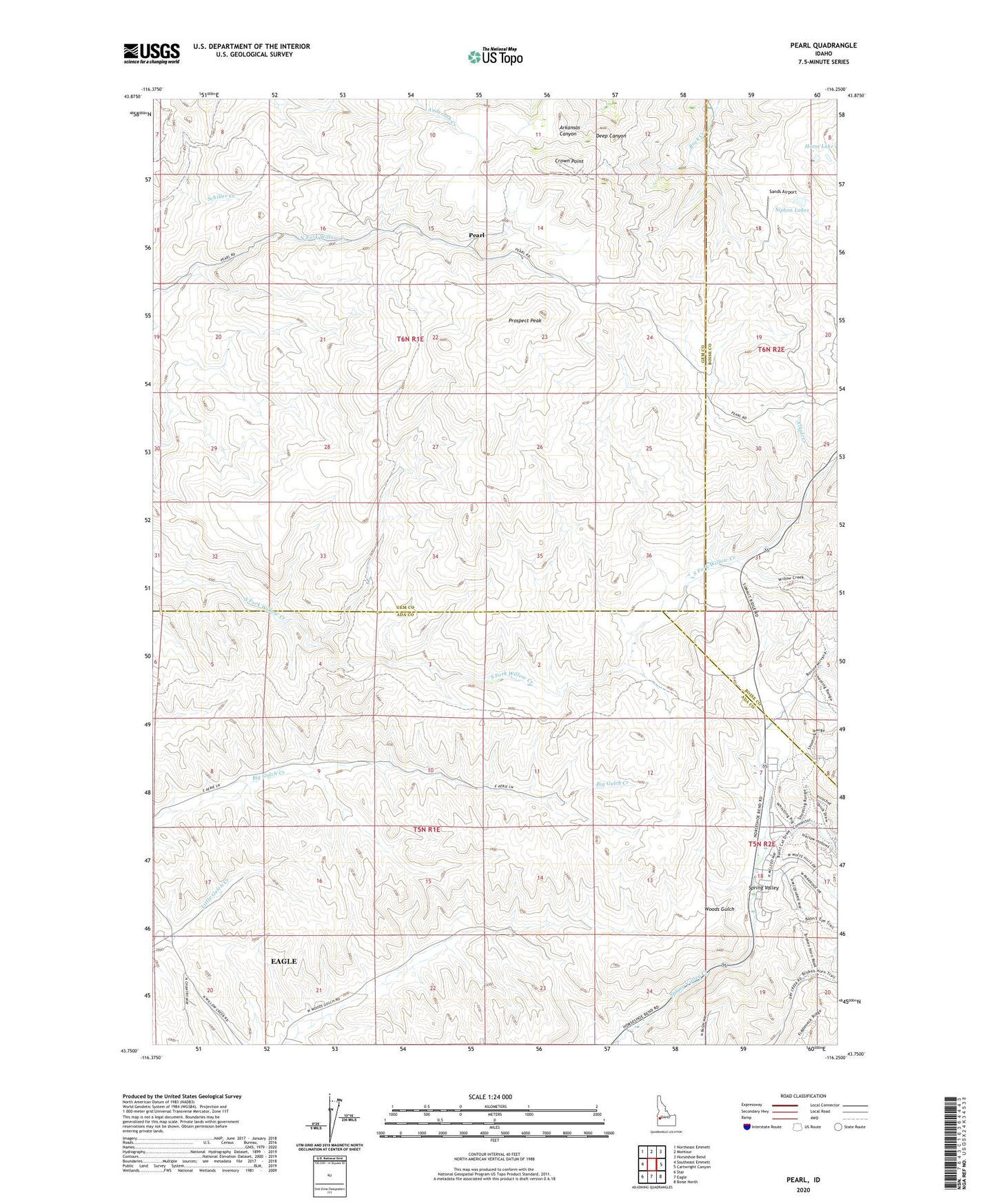
2024 topographic map quadrangle Pearl in the state of Idaho. Scale: 1:24000. Based on the newly updated USGS 7.5' US Topo map series, this map is in the following counties: Gem, Ada, Boise. The map contains contour data, water features, and other items you are used to seeing on USGS maps, but also has updated roads and other features. This is the next generation of topographic maps. Printed on high-quality waterproof paper with UV fade-resistant inks.
Quads adjacent to this one:
West: Southeast Emmett
Northwest: Northeast Emmett
North: Montour
Northeast: Horseshoe Bend
East: Cartwright Canyon
Southeast: Boise North
South: Eagle
Southwest: Star
This map covers the same area as the classic USGS quad with code o43116g3.
Contains the following named places: Alkali Creek, Aspen Mine, Avimor, Avimor Census Designated Place, Crown Point, Gem State Mine, Howell, Lincoln Mine, Middleman Mine, Monroe Mine, Pearl, Prospect Peak, Sands Airport, Siphon Lakes, Spring Valley, X L Mine