MyTopo
Nahneke Mountain Idaho US Topo Map
Couldn't load pickup availability
Also explore the Nahneke Mountain Forest Service Topo of this same quad for updated USFS data
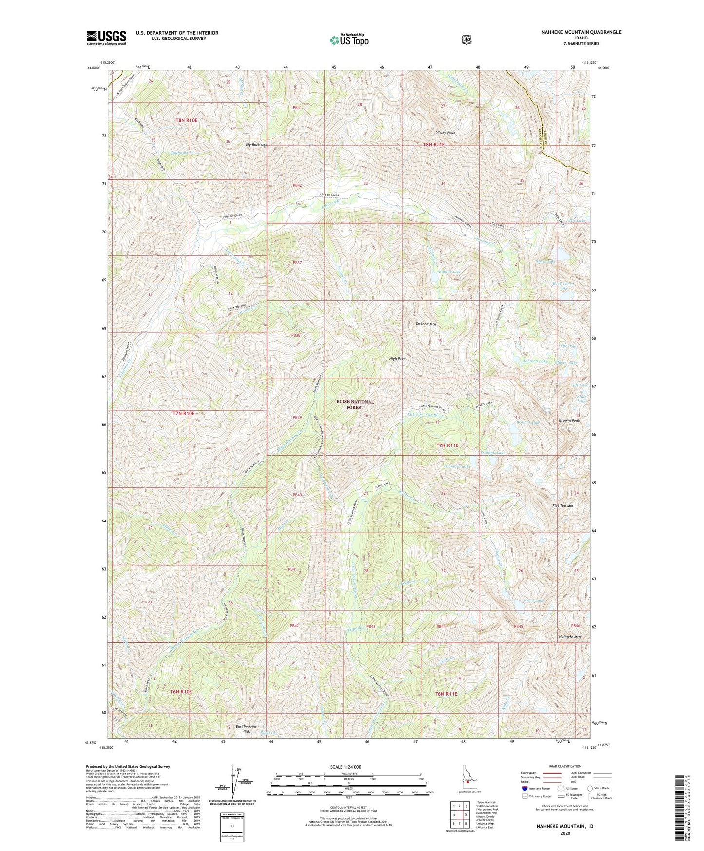
2023 topographic map quadrangle Nahneke Mountain in the state of Idaho. Scale: 1:24000. Based on the newly updated USGS 7.5' US Topo map series, this map is in the following counties: Elmore, Boise. The map contains contour data, water features, and other items you are used to seeing on USGS maps, but also has updated roads and other features. This is the next generation of topographic maps. Printed on high-quality waterproof paper with UV fade-resistant inks.
Quads adjacent to this one:
West: Swanholm Peak
Northwest: Tyee Mountain
North: Edaho Mountain
Northeast: Warbonnet Peak
East: Mount Everly
Southeast: Atlanta East
South: Atlanta West
Southwest: Phifer Creek
This map covers the same area as the classic USGS quad with code o43115h2.
Contains the following named places: Alidade Creek, Alidade Lake, Arrastra Creek, Azure Lake, Big Buck Mountain, Browns Lake, Browns Peak, Cahhah Creek, Diamond Lake, East Warrior Peak, Fezip Creek, Flat Top Mountain, Glacier Lake, Grouse Creek, High Pass, Johnson Lake, Mule Creek, Nahneke Mountain, Neinmeyer Creek, Overlook Creek, Overlook Mill, Rock Island Lake, Scenic Creek, Scenic Lake, Scott Creek, Slide Lake, Smoky Peak, Tackobe Mountain, The Hole, Townsend Creek, Triangle Lake, Tripod Creek, Wilson Creek