MyTopo
Parma SE Idaho US Topo Map
Couldn't load pickup availability
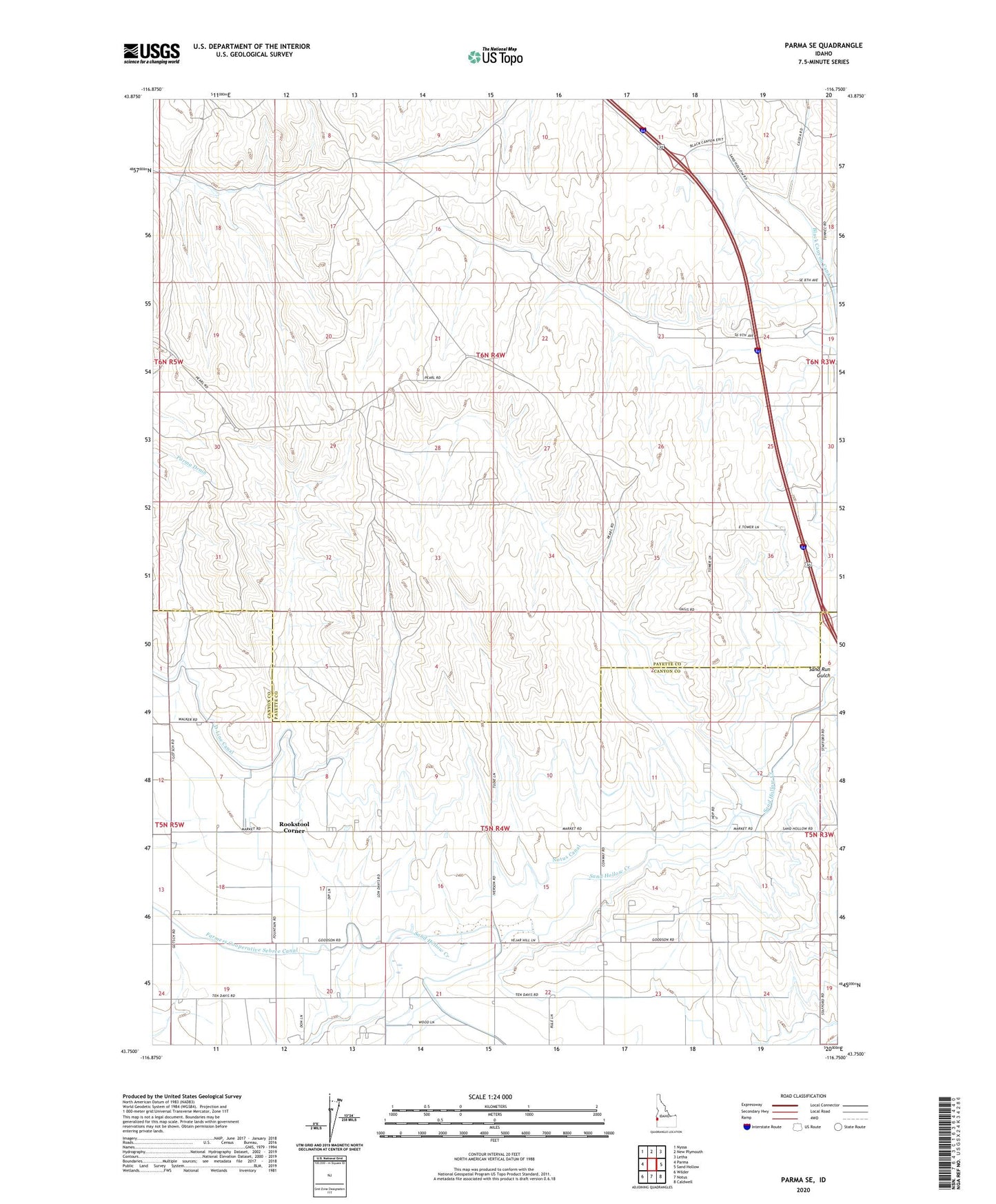
2023 topographic map quadrangle Parma SE in the state of Idaho. Scale: 1:24000. Based on the newly updated USGS 7.5' US Topo map series, this map is in the following counties: Payette, Canyon. The map contains contour data, water features, and other items you are used to seeing on USGS maps, but also has updated roads and other features. This is the next generation of topographic maps. Printed on high-quality waterproof paper with UV fade-resistant inks.
Quads adjacent to this one:
West: Parma
Northwest: Nyssa
North: New Plymouth
Northeast: Letha
East: Sand Hollow
Southeast: Caldwell
South: Notus
Southwest: Wilder
This map covers the same area as the classic USGS quad with code o43116g7.
Contains the following named places: Farmers Cooperative Sebree Canal, Notus Canal, Notus Division, Rookstool Corner, Sand Hollow