MyTopo
Rochat Peak Idaho US Topo Map
Couldn't load pickup availability
Also explore the Rochat Peak Forest Service Topo of this same quad for updated USFS data
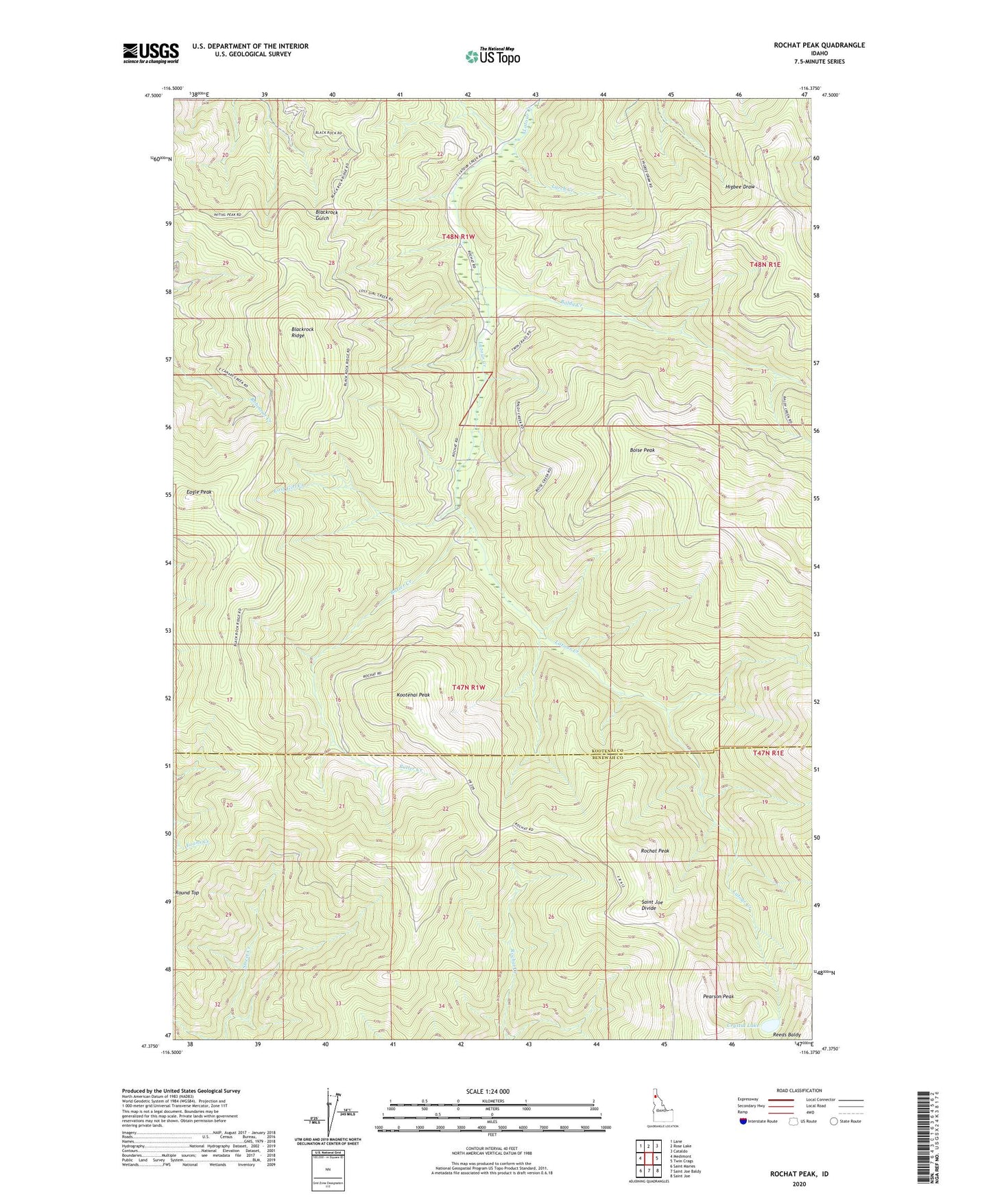
2024 topographic map quadrangle Rochat Peak in the state of Idaho. Scale: 1:24000. Based on the newly updated USGS 7.5' US Topo map series, this map is in the following counties: Kootenai, Benewah. The map contains contour data, water features, and other items you are used to seeing on USGS maps, but also has updated roads and other features. This is the next generation of topographic maps. Printed on high-quality waterproof paper with UV fade-resistant inks.
Quads adjacent to this one:
West: Medimont
Northwest: Lane
North: Rose Lake
Northeast: Cataldo
East: Twin Crags
Southeast: Saint Joe
South: Saint Joe Baldy
Southwest: Saint Maries
This map covers the same area as the classic USGS quad with code o47116d4.
Contains the following named places: Baldy Creek, Blackrock Ridge, Boise Peak, Butler Creek, Crystal Lake, Eagle Lookout, Eagle Peak, Kootenai Peak, Larch Creek, Lost Girl Creek, Pearson Peak, Reeds Baldy, Rochat Peak