MyTopo
Shattuck Butte Idaho US Topo Map
Couldn't load pickup availability
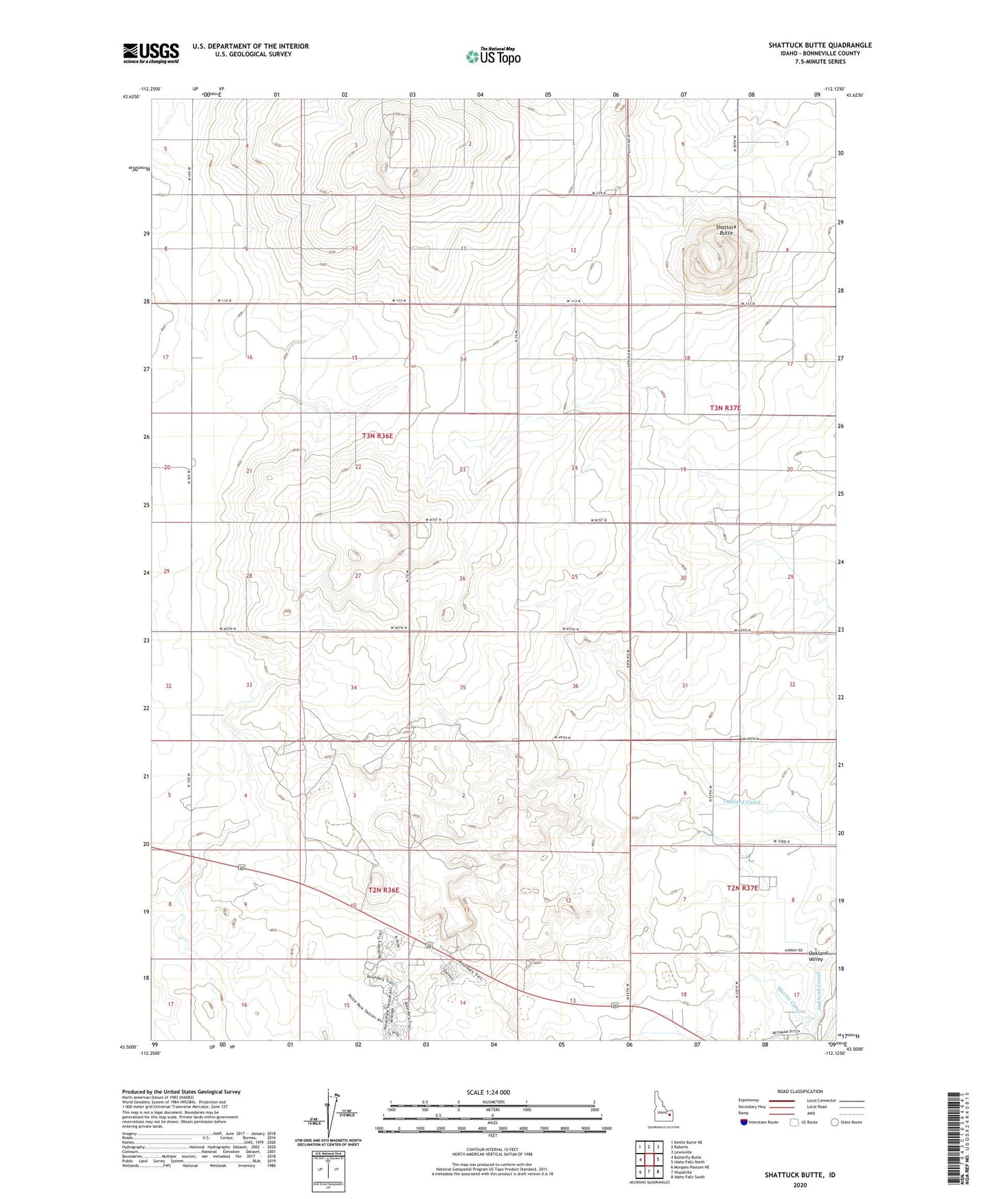
2023 topographic map quadrangle Shattuck Butte in the state of Idaho. Scale: 1:24000. Based on the newly updated USGS 7.5' US Topo map series, this map is in the following counties: Bonneville. The map contains contour data, water features, and other items you are used to seeing on USGS maps, but also has updated roads and other features. This is the next generation of topographic maps. Printed on high-quality waterproof paper with UV fade-resistant inks.
Quads adjacent to this one:
West: Butterfly Butte
Northwest: Kettle Butte NE
North: Roberts
Northeast: Lewisville
East: Idaho Falls North
Southeast: Idaho Falls South
South: Woodville
Southwest: Morgans Pasture NE
This map covers the same area as the classic USGS quad with code o43112e2.
Contains the following named places: Beckman Ditch, Hayes Lateral, Martin Canal, Oakland Valley, Q B One Airport, Regulation Spillway, Shattuck Butte, ZIP Code: 83402