MyTopo
Smith Creek Idaho US Topo Map
Couldn't load pickup availability
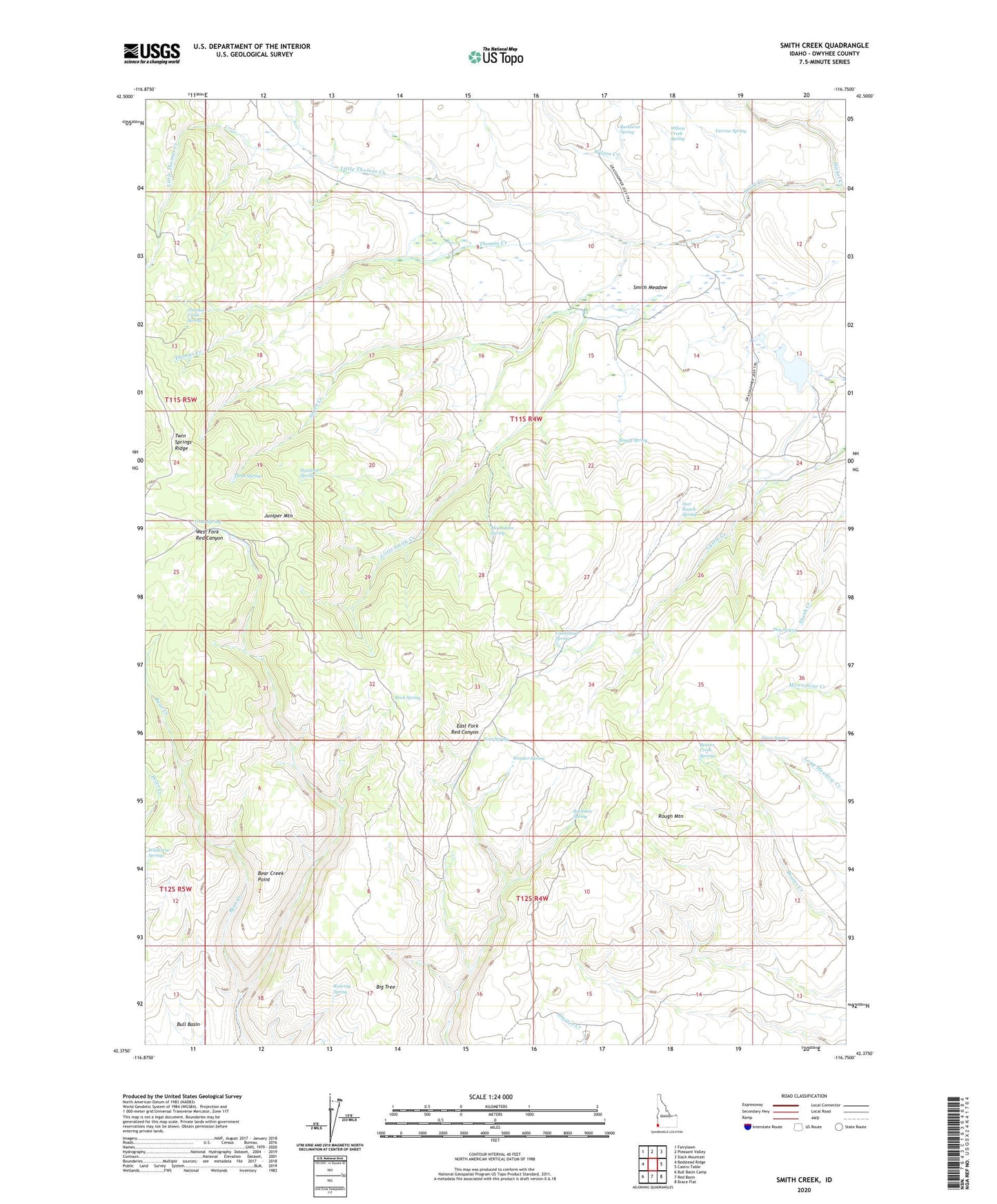
2024 topographic map quadrangle Smith Creek in the state of Idaho. Scale: 1:24000. Based on the newly updated USGS 7.5' US Topo map series, this map is in the following counties: Owyhee. The map contains contour data, water features, and other items you are used to seeing on USGS maps, but also has updated roads and other features. This is the next generation of topographic maps. Printed on high-quality waterproof paper with UV fade-resistant inks.
Quads adjacent to this one:
West: Bedstead Ridge
Northwest: Fairylawn
North: Pleasant Valley
Northeast: Slack Mountain
East: Castro Table
Southeast: Brace Flat
South: Red Basin
Southwest: Bull Basin Camp
This map covers the same area as the classic USGS quad with code o42116d7.
Contains the following named places: Bear Creek, Bear Creek Point, Beaver Creek Springs, Boggy Spring, Buckaroo Spring, Buckskin Spring, Castlehead Spring, Craig Camp, Davis Spring, Dug Spring, East Spring, Grasshopper Trail, Juniper Mountain, Little Smith Creek, Little Thomas Creek, Moonshine Spring, Roaring Spring, Rock Spring, Rough Mountain, Smith Creek, Smith Meadow, Sommerville Dam, Stanford Spring, Star Ranch, Star Ranch Spring, Star Reservoir, The Monuments, The Pete, Thomas Creek, Thomas Creek Spring, Three Springs, Trout Spring, Twin Springs Ridge, Wildhorse Springs, Wilson Creek, Wilson Creek Spring, Wonder Spring, Yarrow Spring