MyTopo
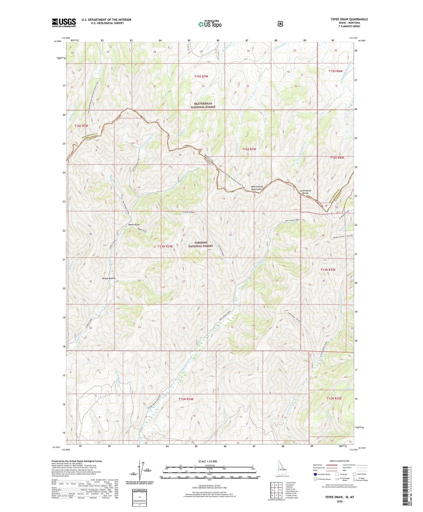
Tepee Draw Idaho US Topo Map
Couldn't load pickup availability
Also explore the Tepee Draw Forest Service Topo of this same quad for updated USFS data
2023 topographic map quadrangle Tepee Draw in the states of Idaho, Montana. Scale: 1:24000. Based on the newly updated USGS 7.5' US Topo map series, this map is in the following counties: Clark, Beaverhead. The map contains contour data, water features, and other items you are used to seeing on USGS maps, but also has updated roads and other features. This is the next generation of topographic maps. Printed on high-quality waterproof paper with UV fade-resistant inks.
Quads adjacent to this one:
West: Edie Creek
Northwest: Lima Peaks
North: Snowline
Northeast: Monida
East: Paul Reservoir
Southeast: Thunder Gulch
South: Indian Creek
Southwest: Rocky Creek
Contains the following named places: Big Spring Creek, Broad Hollow, Lake Creek, Left Fork Middle Creek, Middle Creek Cow Camp, Mill Fork, Poison Creek, Tepee Draw