MyTopo
Wendell Idaho US Topo Map
Couldn't load pickup availability
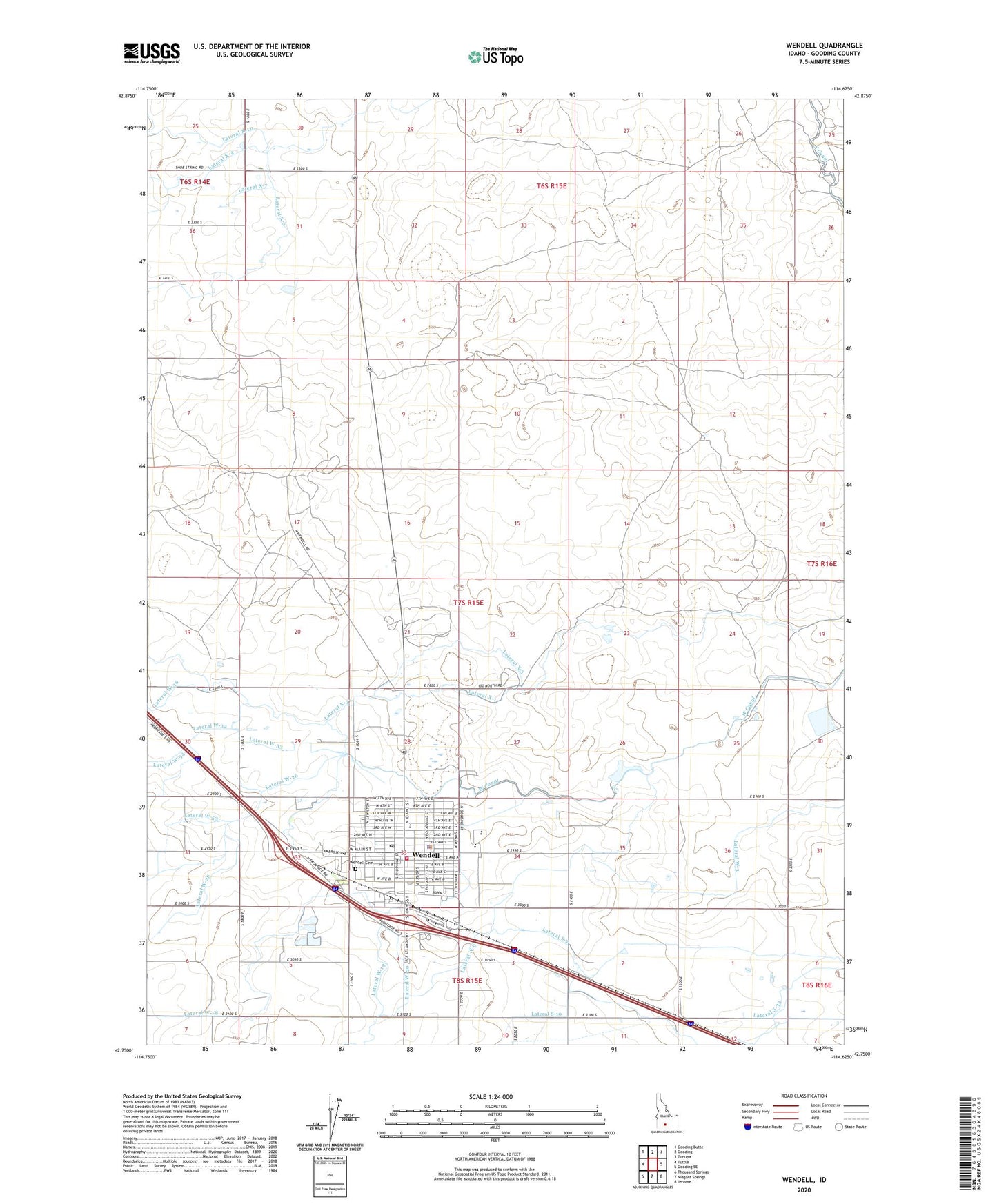
2024 topographic map quadrangle Wendell in the state of Idaho. Scale: 1:24000. Based on the newly updated USGS 7.5' US Topo map series, this map is in the following counties: Gooding. The map contains contour data, water features, and other items you are used to seeing on USGS maps, but also has updated roads and other features. This is the next generation of topographic maps. Printed on high-quality waterproof paper with UV fade-resistant inks.
Quads adjacent to this one:
West: Tuttle
Northwest: Gooding Butte
North: Gooding
Northeast: Tunupa
East: Gooding SE
Southeast: Jerome
South: Niagara Springs
Southwest: Thousand Springs
This map covers the same area as the classic USGS quad with code o42114g6.
Contains the following named places: City of Wendell, Lateral S-12, Lateral S-2, Lateral S-33, Lateral W-19, Lateral W-20, Lateral W-3, Lateral W-33, Lateral W-53, Lateral W-7, Lateral W-9, Lateral X-1, Lateral X-3, Lateral X-31, Lateral X-7, McGinnis Park, W Canal, Wendell, Wendell Cemetery, Wendell Division, Wendell Elementary School, Wendell High School, Wendell Middle School, Wendell Physical Education Building, Wendell Police Department, Wendell Post Office, Wendell Rural Fire District / Wendell City Fire Department, Wendell Well, ZIP Code: 83355