MyTopo
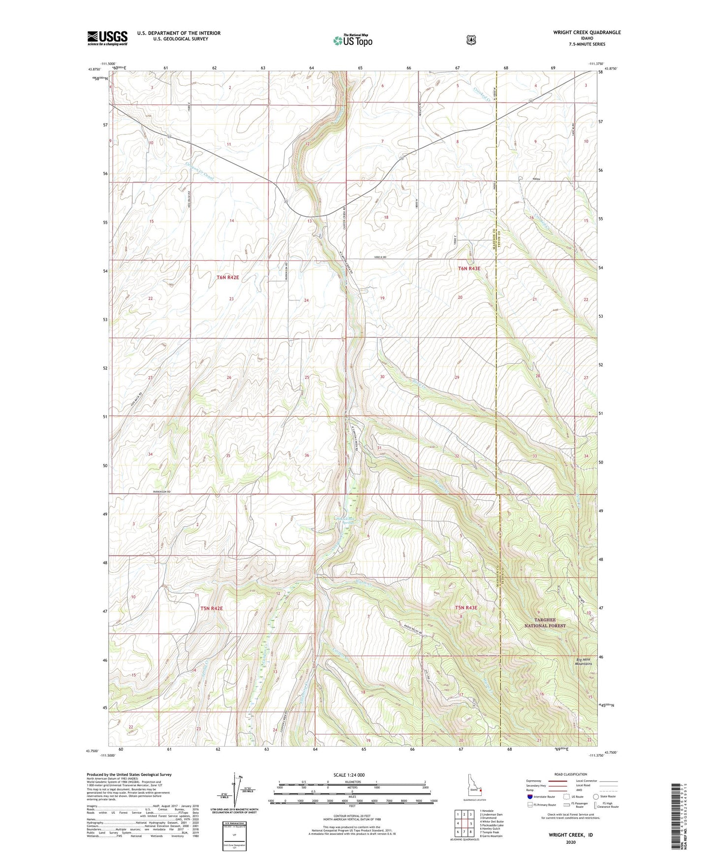
Wright Creek Idaho US Topo Map
Couldn't load pickup availability
Also explore the Wright Creek Forest Service Topo of this same quad for updated USFS data
2024 topographic map quadrangle Wright Creek in the state of Idaho. Scale: 1:24000. Based on the newly updated USGS 7.5' US Topo map series, this map is in the following counties: Madison, Teton. The map contains contour data, water features, and other items you are used to seeing on USGS maps, but also has updated roads and other features. This is the next generation of topographic maps. Printed on high-quality waterproof paper with UV fade-resistant inks.
Quads adjacent to this one:
West: White Owl Butte
Northwest: Newdale
North: Linderman Dam
Northeast: Drummond
East: Packsaddle Lake
Southeast: Garns Mountain
South: Temple Peak
Southwest: Hawley Gulch
This map covers the same area as the classic USGS quad with code o43111g4.
Contains the following named places: Calamity Creek, Carlton Creek, Pincock Hot Springs, Pony Creek, Spring Creek, Warm Creek, Wright Creek, ZIP Code: 83436