MyTopo
White Owl Butte Idaho US Topo Map
Couldn't load pickup availability
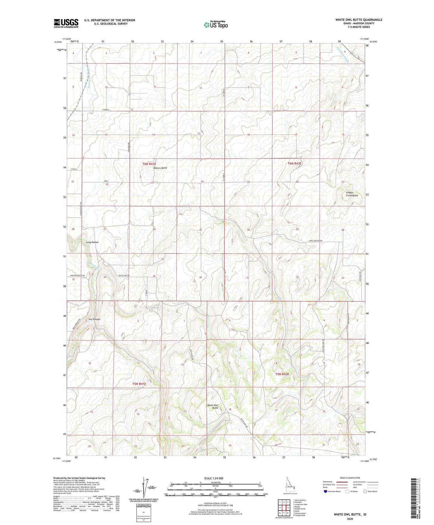
2023 topographic map quadrangle White Owl Butte in the state of Idaho. Scale: 1:24000. Based on the newly updated USGS 7.5' US Topo map series, this map is in the following counties: Madison. The map contains contour data, water features, and other items you are used to seeing on USGS maps, but also has updated roads and other features. This is the next generation of topographic maps. Printed on high-quality waterproof paper with UV fade-resistant inks.
Quads adjacent to this one:
West: Moody
Northwest: Saint Anthony
North: Newdale
Northeast: Linderman Dam
East: Wright Creek
Southeast: Temple Peak
South: Hawley Gulch
Southwest: Heise
This map covers the same area as the classic USGS quad with code o43111g5.
Contains the following named places: Bitters Butte, Canyon Creek Butte, Canyon Creek Canal, Dry Canyon, East Madison Division, Elbow of Moody Creek, Long Hollow, White Owl Butte