MyTopo
Addieville Illinois US Topo Map
Couldn't load pickup availability
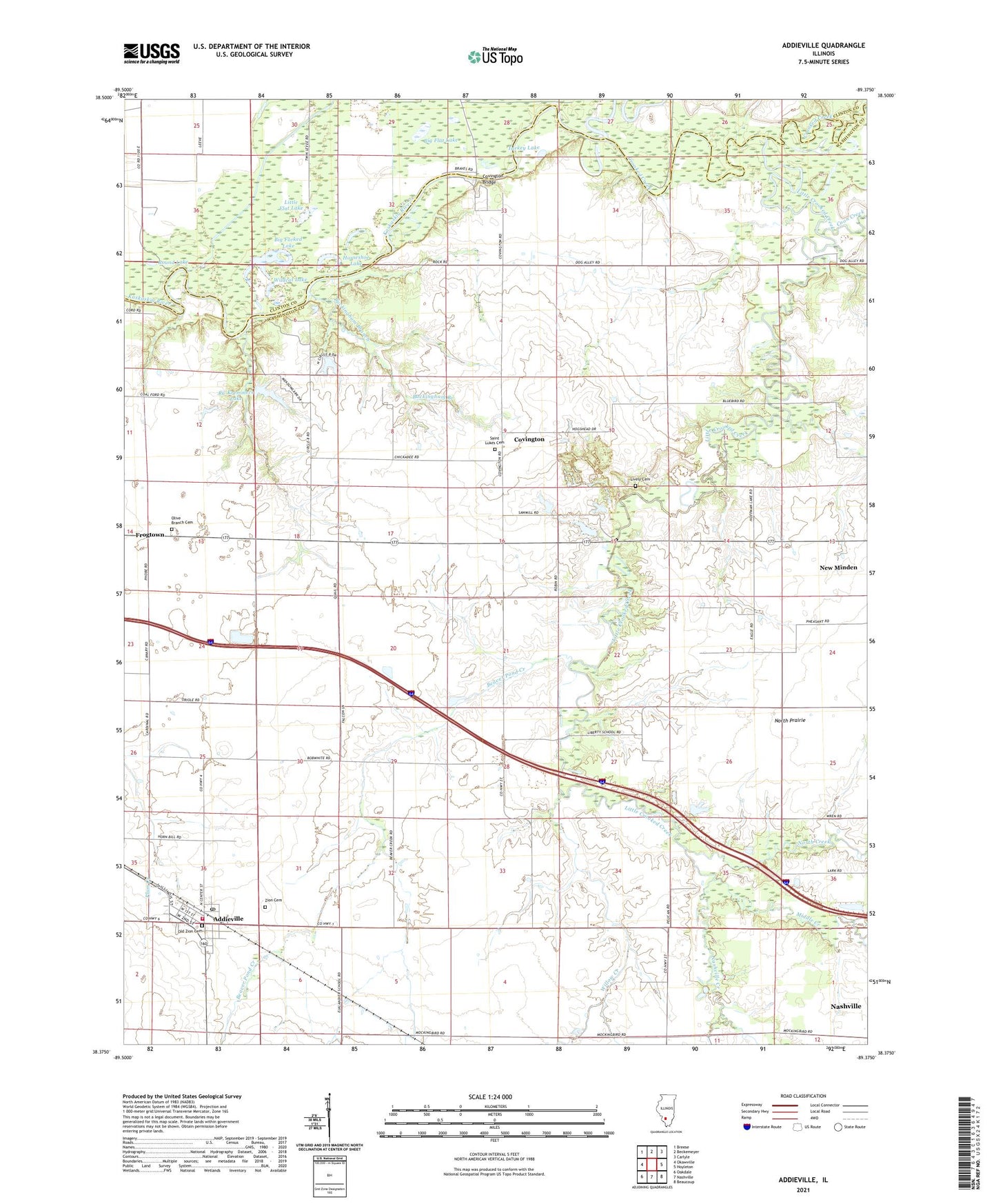
2024 topographic map quadrangle Addieville in the state of Illinois. Scale: 1:24000. Based on the newly updated USGS 7.5' US Topo map series, this map is in the following counties: Washington, Clinton. The map contains contour data, water features, and other items you are used to seeing on USGS maps, but also has updated roads and other features. This is the next generation of topographic maps. Printed on high-quality waterproof paper with UV fade-resistant inks.
Quads adjacent to this one:
West: Okawville
Northwest: Breese
North: Beckemeyer
Northeast: Carlyle
East: Hoyleton
Southeast: Beaucoup
South: Nashville
Southwest: Oakdale
This map covers the same area as the classic USGS quad with code o38089d4.
Contains the following named places: Addieville, Addieville Community Fire Protection District, Addieville Post Office, Beaver Pond Creek, Big Flat Lake, Big Forked Lake, Buckingham Branch, Carson School, Coon Creek, Covington, Covington Bridge, Crooked Creek, Frogtown, Going School, Grottendick School, Hogshead School, Horseshoe Lake, Little Crooked Creek, Little Flat Lake, Lively Cemetery, Lunte Creek, Middle Creek, Nashville Creek, North Creek, Old Zion Cemetery, Olive Branch Cemetery, Olive Branch Lutheran Church, RC Kremmers Lake, Round Lake, Saint Lukes Cemetery, Township of Covington, Turkey Lake, Village of Addieville, Wildcat Lake, Willow Creek, Zion Cemetery, Zion United Church of Christ