MyTopo
Belvidere North Illinois US Topo Map
Couldn't load pickup availability
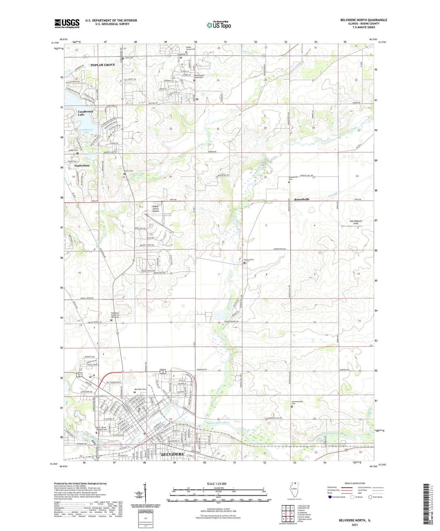
2024 topographic map quadrangle Belvidere North in the state of Illinois. Scale: 1:24000. Based on the newly updated USGS 7.5' US Topo map series, this map is in the following counties: Boone. The map contains contour data, water features, and other items you are used to seeing on USGS maps, but also has updated roads and other features. This is the next generation of topographic maps. Printed on high-quality waterproof paper with UV fade-resistant inks.
Quads adjacent to this one:
West: Caledonia
Northwest: Belvidere NW
North: Belvidere NE
Northeast: Capron
East: Garden Prairie
Southeast: Riley
South: Belvidere South
Southwest: Cherry Valley
This map covers the same area as the classic USGS quad with code o42088c7.
Contains the following named places: Andrus Cemetery, Bel-Bo Mobile Home Park, Belvidere, Belvidere Cemetery, Belvidere City Hall, Belvidere Fire Department Station 1, Belvidere Junior High School, Belvidere Municipal Park, Belvidere Post Office, Bethel School, Bob Walberg Field, Boone County, Boone County Courthouse, Boone County Fair Grounds, Boone County Home, Boone County Rural Fire Protection District 2, Boone County Rural Fire Protection District 2 Station 2, Boone County Sheriff's Office, Brick School, Camp Epworth, Candlewick Lake, Candlewick Lake Census Designated Place, Candlewick Lake Dam, City of Belvidere, Clark Cemetery, Colvin School, Coon Creek, County Lake, Denny School, Drake Cemetery, Ewins Cemetery, First Church of Christ Scientist, First Presbyterian Church, Geryune Creek, Green Giant-Dillon Farm Heliport, Highland Garden of Memories, Holiday Acres Mobile Home Park, Ida Public Library, Immanuel Evangelical Lutheran Church, Immanuel School, Lawrence School, Lawrenceville Cemetery, Lifeline Ambulance Service Boone County Fire District 2, Lincoln Elementary School, Logan Elementary School, Mission Covenant Church, Mud Creek, North Boone Ambulance, North Boone Fire District 3 Station 1, Oak Grove School, Oak Lawn Mobile Home Park, Perry Elementary School, Pettit Memorial Chapel, Piscasaw Creek, Poplar Grove, Poplar Grove Airport, Poplar Grove Cemetery, Poplar Grove Elementary School, Poplar Grove Post Office, Ray School, Rollingsville School, Russellville, Russellville Cemetery, Russellville School, Saint James Catholic Cemetery, Saint James Roman Catholic Church, Saint James School, Saint Johns Evangelical Church, Saint Joseph Hospital, South Poplar Grove Cemetery, Spencer Park, Squaw Prairie School, Stonegate Nursery, Timberlane, Township of Bonus, Township of Poplar Grove, Trinity Episcopal Church, Village of Poplar Grove, Village of Timberlane, Washington Elementary School, Washington Public School, Worley Farms


