MyTopo
Belvidere South Illinois US Topo Map
Couldn't load pickup availability
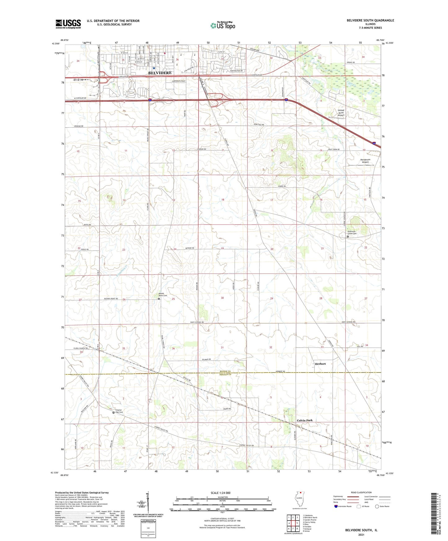
2024 topographic map quadrangle Belvidere South in the state of Illinois. Scale: 1:24000. Based on the newly updated USGS 7.5' US Topo map series, this map is in the following counties: Boone, DeKalb. The map contains contour data, water features, and other items you are used to seeing on USGS maps, but also has updated roads and other features. This is the next generation of topographic maps. Printed on high-quality waterproof paper with UV fade-resistant inks.
Quads adjacent to this one:
West: Cherry Valley
Northwest: Caledonia
North: Belvidere North
Northeast: Garden Prairie
East: Riley
Southeast: Genoa
South: Kirkland
Southwest: Fairdale
This map covers the same area as the classic USGS quad with code o42088b7.
Contains the following named places: Arbuckle School, Belvidere Assembly Plant Heliport, Belvidere Fire Department Station 2, Belvidere High School, Belvidere Tollway Oasis, Bloods Point Cemetery, Bloods Point School, Canada School, Charter Oak Cemetery, Charter Oak School, Church of the Nazarene, Cohoon School, Colvin Park, Davis School, Gould School, Graves School, Gray Farms, Henderson Airport, Herbert, Highland Hospital, Mosquito Creek, North Kingston School, Nystrom's Nursery, Prairie Oaks Forest Preserve, Reeds Crossing, Sager School, Schandelmeir School, Scrivens School, Shannon School, Shattucks Grove Cemetery, Stone School, Swedish American Medical Center Belvidere, Township of Spring, Untied Acres Airport, Witbeck School, Zion Evangelical Lutheran Church, ZIP Code: 61008


