MyTopo
Brownstown Illinois US Topo Map
Couldn't load pickup availability
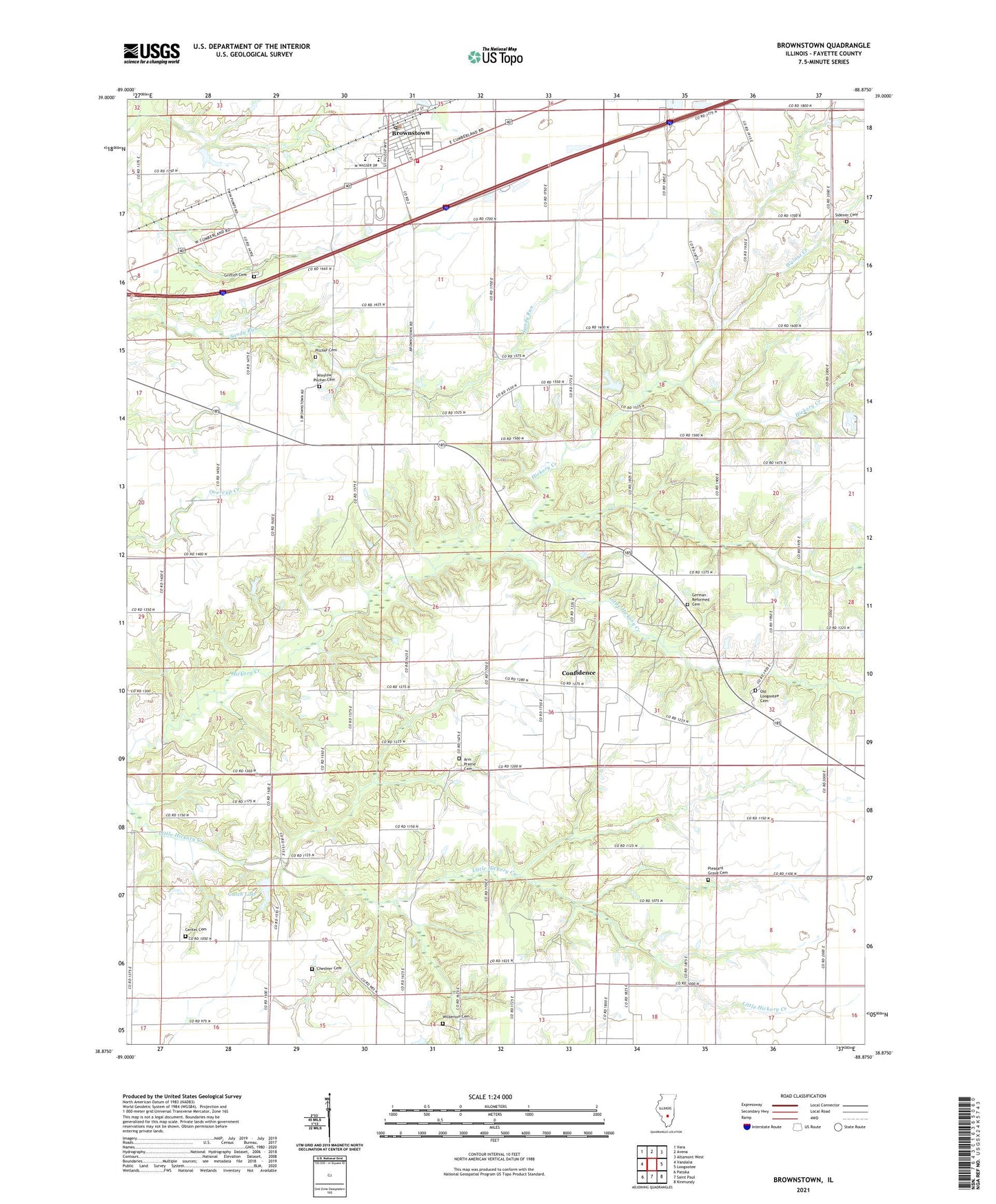
2024 topographic map quadrangle Brownstown in the state of Illinois. Scale: 1:24000. Based on the newly updated USGS 7.5' US Topo map series, this map is in the following counties: Fayette. The map contains contour data, water features, and other items you are used to seeing on USGS maps, but also has updated roads and other features. This is the next generation of topographic maps. Printed on high-quality waterproof paper with UV fade-resistant inks.
Quads adjacent to this one:
West: Vandalia
Northwest: Vera
North: Avena
Northeast: Altamont West
East: Loogootee
Southeast: Kinmundy
South: Saint Paul
Southwest: Patoka
This map covers the same area as the classic USGS quad with code o38088h8.
Contains the following named places: Arm Prairie Cemetery, Arm Prairie Church, Berry Hill School, Brownstown, Brownstown Elementary School, Brownstown High School, Brownstown Post Office, Brownstown United Methodist Church, Brownstown Volunteer Fire Department, Brush College School, Center Cemetery, Center Church, Cheshier Cemetery, Confidence, Cumberland School, First Baptist Church of Brownstown, First Christian Church, Fourmile School, Gatch Lake, German Reformed Cemetery, German Reformed Church, Griffith Cemetery, Little Hickory Creek, Mahon School, Old Loogootee Cemetery, Old Loogootee School, Oliver Reece Pond, Oliver Reece Pond Dam, Pilcher Cemetery, Pleasant Grove School, Saint Peter Sportsman Dam, Sidener Cemetery, Stone Creek, Township of Otego, Village of Brownstown, Walnut Creek, Walnut Grove School, Wilberton, Wilberton Cemetery, Wilberton School, Winslow Pilcher Cemetery